

Riley Ranch Hiking Guide
Riley Ranch Nature Reserve is an easy win. It was a beautiful, stress-free destination on my last trip to Bend, when my schedule was as uncertain as the early spring weather. More of a local favorite than a tourist hub, Riley Ranch has peaceful hiking trails only 10 minutes from downtown Bend. Different trails let you choose your distance, from less than a mile up to seven miles. Just know that the park doesn’t allow dogs. Here’s what to expect on a visit to Riley Ranch Nature Reserve.
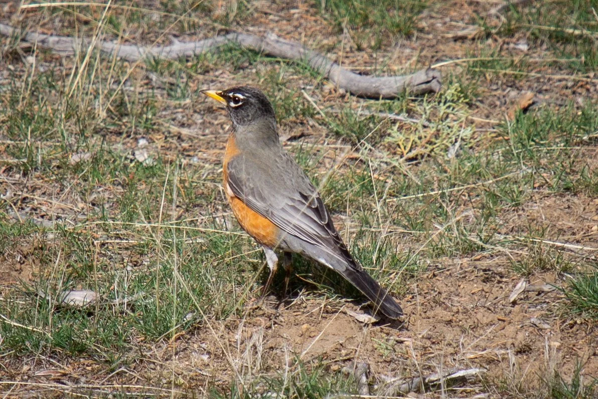
One of many robins at Riley Ranch Nature Reserve
Quick info
Distance: 3.5 miles, with shorter and longer options
Elevation gain: Up to 300 feet
Difficulty: Easy
Pass required: None
Dog friendly: No, dogs are not allowed on trails.
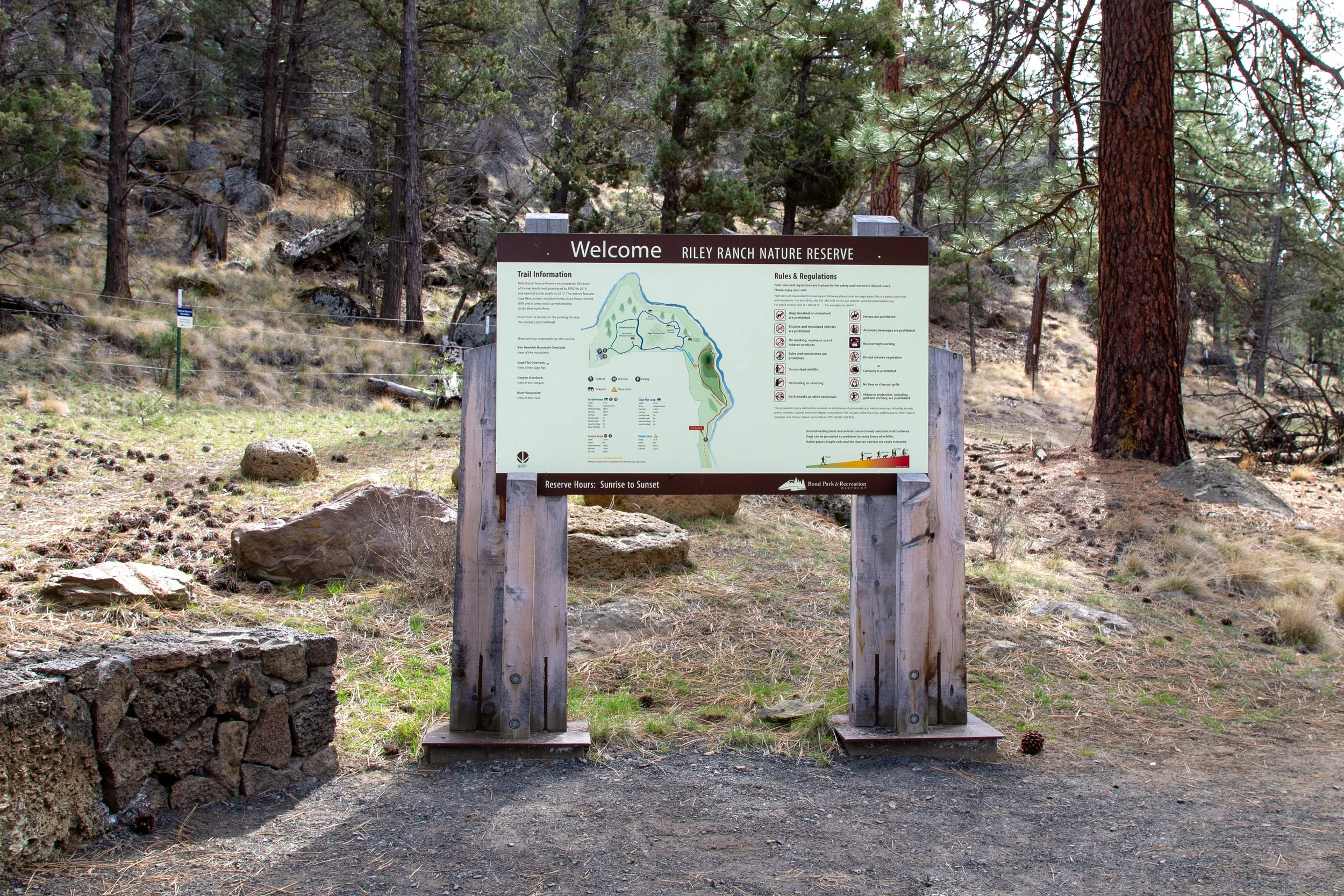
ADA access: The Juniper Loop and Sage Loop are wide crushed gravel trails. Surfaces are even without barriers like steps. Grades are up to 8%. Accessible parking and vault toilet.
Season: All year. Trails may get snow and ice in the winter.
Trail highlights: Views of the Deschutes River and several Cascade peaks.
Hike options
Shortest: 0.7 miles on the Juniper Loop Trail (easy)
Short-ish: 1.5 miles on the Juniper Loop and Sage Loop Trails (easy)
All Riley Ranch trails: 3.5 miles in connected loops: Juniper, Sage, and Canyon Loops (easy/moderate)
Riley Ranch to Tumalo State Park: 7 miles (easy/moderate)
For a quick hike that’s gentle on the knees, I’d suggest the short-ish loop (#2). You see the Cascade Mountains, plus a viewpoint overlooking the Deschutes River.
For a rewarding and fairly easy day hike, I’d suggest the connected loops that take you to all of Riley Ranch (#3). This version adds Deschutes River access.
For a long hike with lots of time along the Deschutes River, combine the Riley Ranch trails with Tumalo State Park (#4). If you park at Riley Ranch, you can skip the parking fee.
Deschutes River access in Riley Ranch
Know before you go
Parking at Riley Ranch is free. It’s open from sunrise to sunset.
A vault toilet is next to the parking lot.
The trails have a few benches along the way.
Trail junctions have clear directions and maps.
The trails at Riley Ranch are family-friendly. Viewpoints have fences. The Juniper and Sage Loops are flat enough for strollers.
Bikes are not allowed.
Riley Ranch Nature Reserve doesn’t allow dogs. Tumalo State Park or Shevlin Park are nearby dog-friendly alternatives.
Riley Ranch Hike
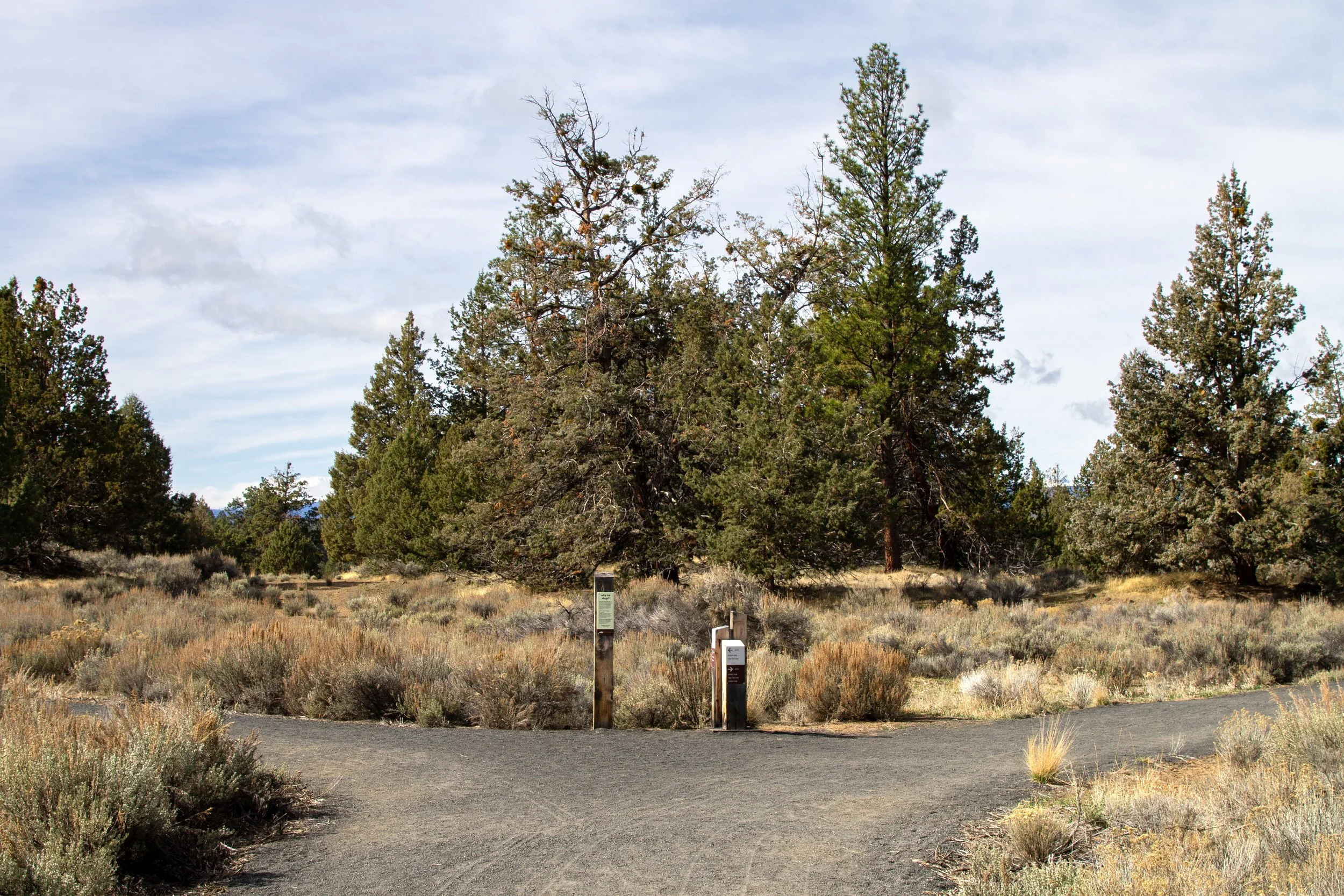
Start here
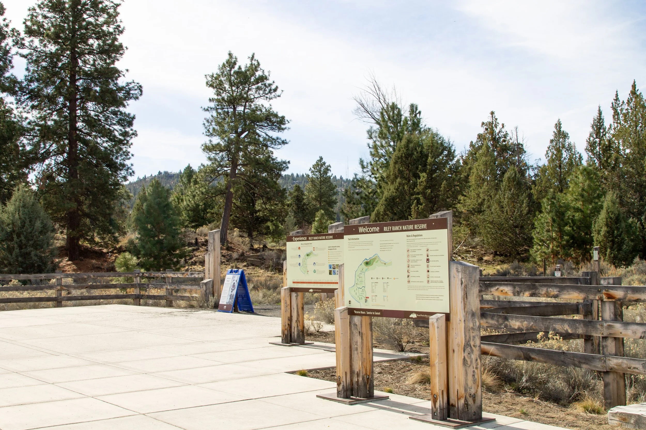
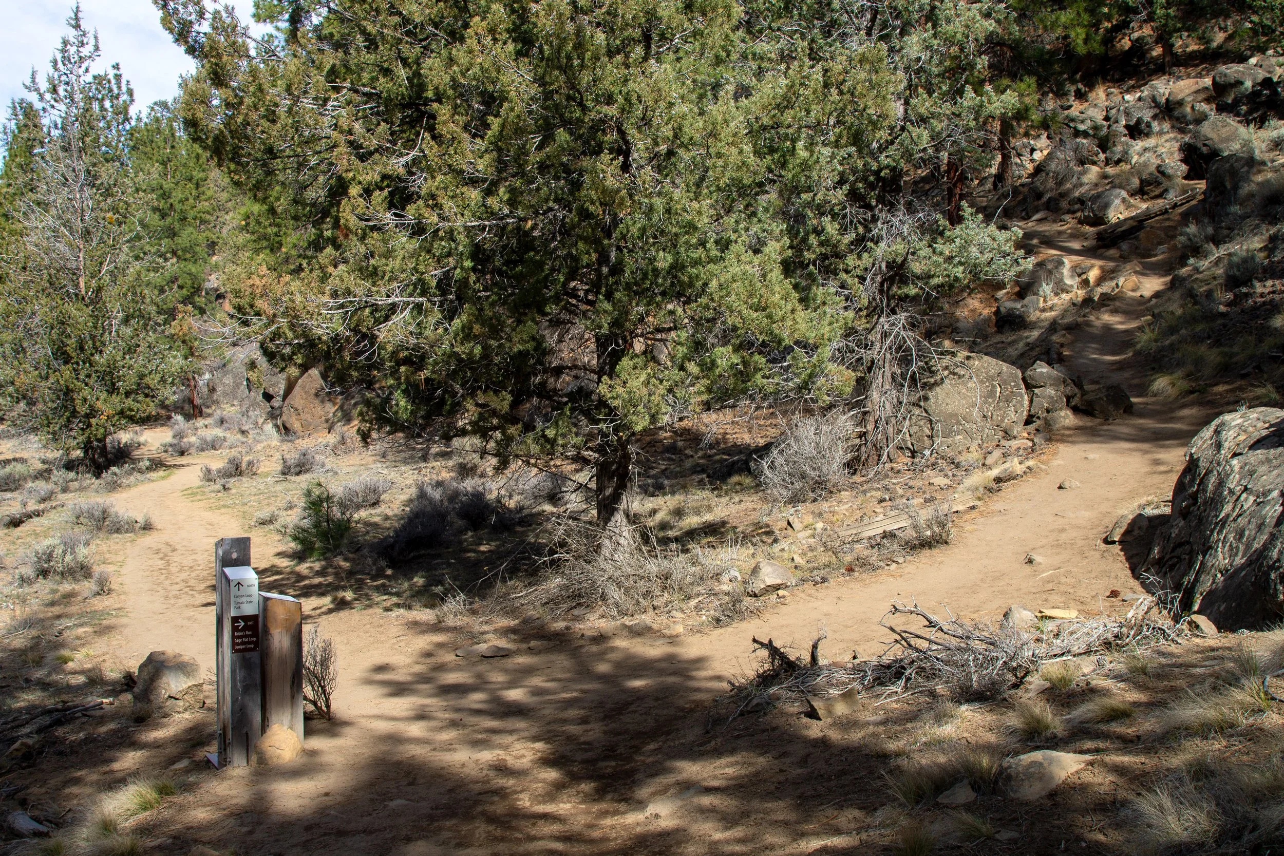
Riley Ranch has a big trailhead with great maps. The trail splits right away. You can go either direction. It’s the start and end of the Juniper Loop. We’ll go right, which saves the more eye-catching viewpoints for the end of the hike.
Start of the Juniper Loop
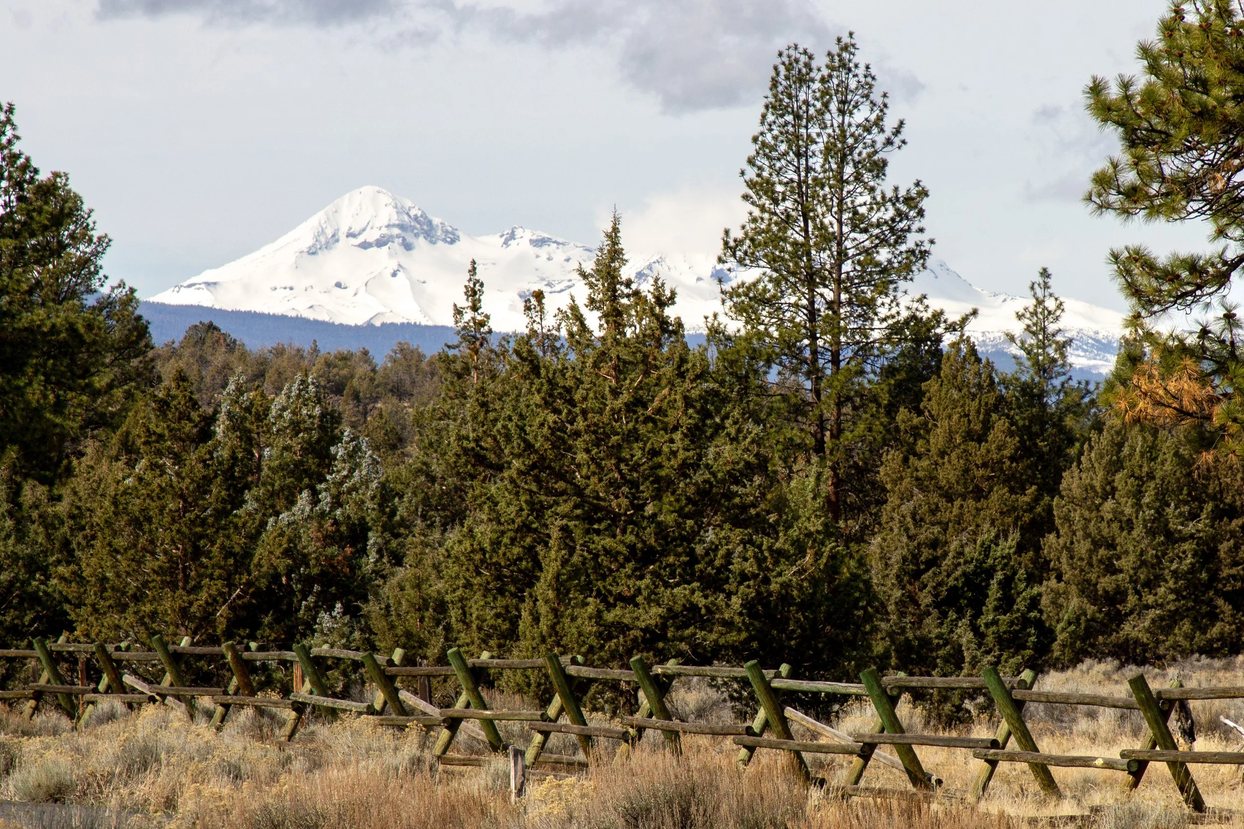
Once you start the Juniper Loop, you’ll see the first mountain peaks, the Middle and North Sisters. In spring and summer, Riley Ranch is a good place to spot wildflowers. On my early March hike, it was still a dormant winter landscape.
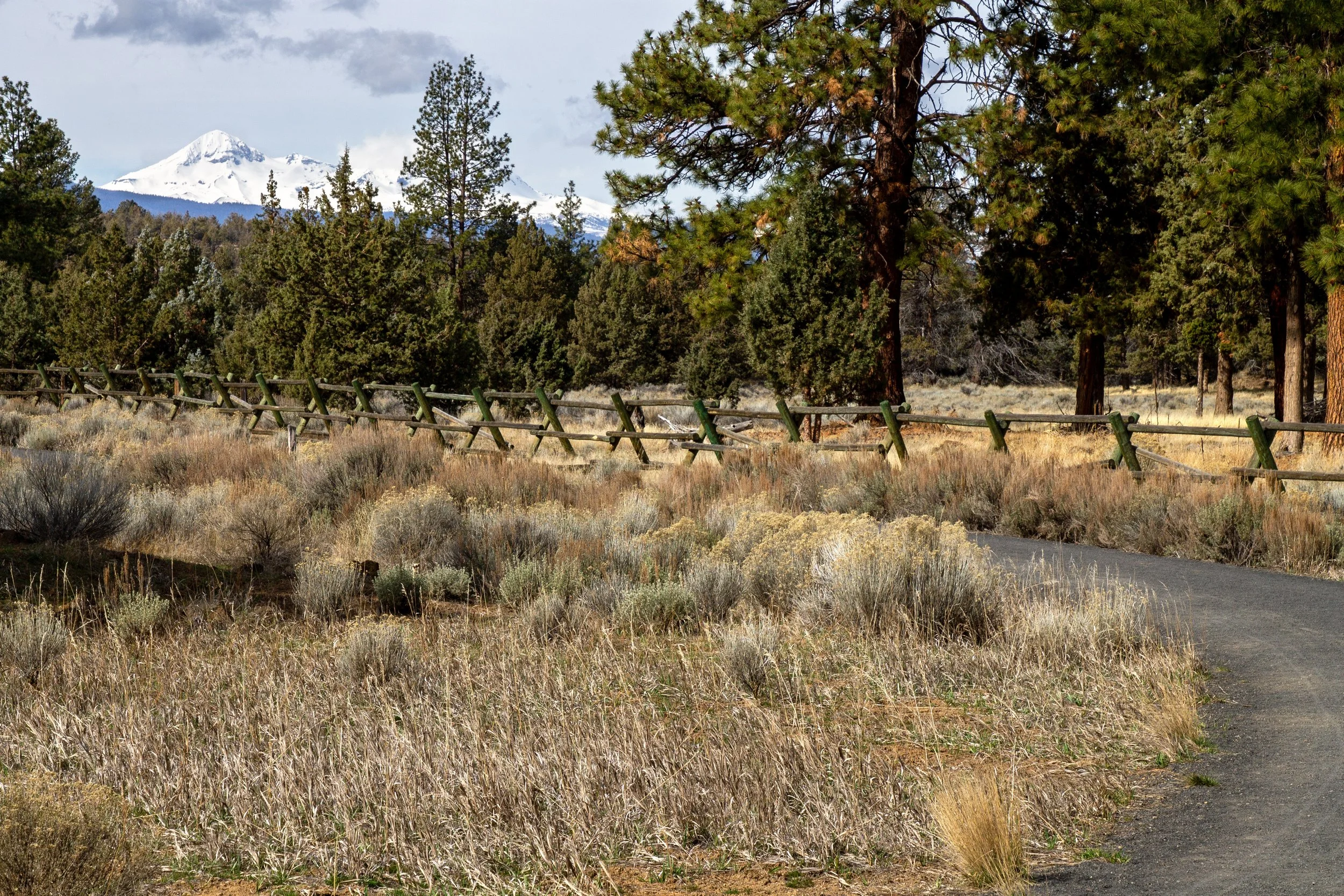
Middle and North Sisters on the Juniper Loop
In 0.2 miles is the junction where the Juniper Loop meets the Sage Loop. Heading left finishes the 0.7-mile Juniper Loop. We’ll head right to start the Sage Loop. Like the Juniper Loop, it’s a gentle stroll on flat compacted gravel. Unless you’re looking for a very short hike, I recommend the Sage Loop. It adds two cool viewpoints while still being a low-impact trail. Just ahead on the Sage Trail, more Cascade peaks appear: Mount Bachelor, Tumalo Mountain, Broken Top, and Bald Butte.
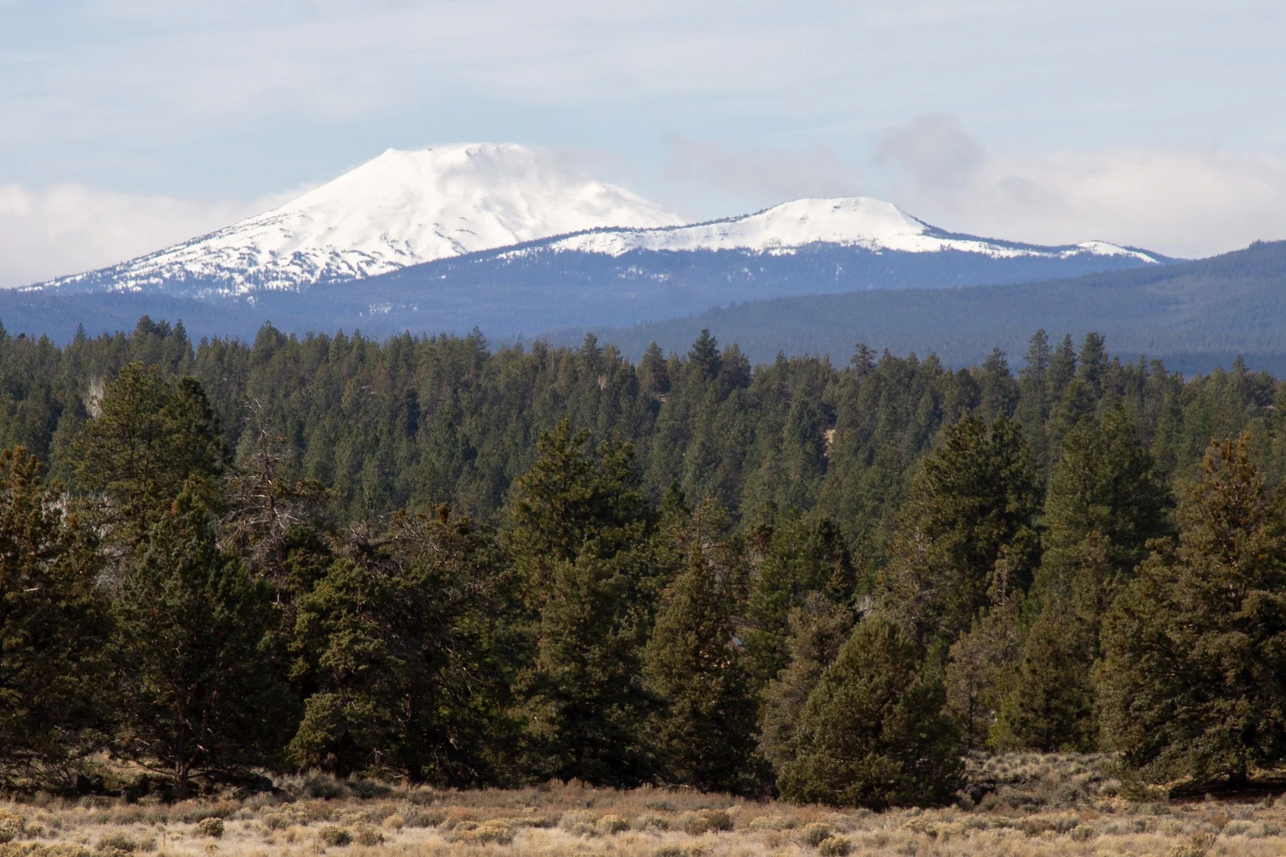
Mount Bachelor and Tumalo Mountain
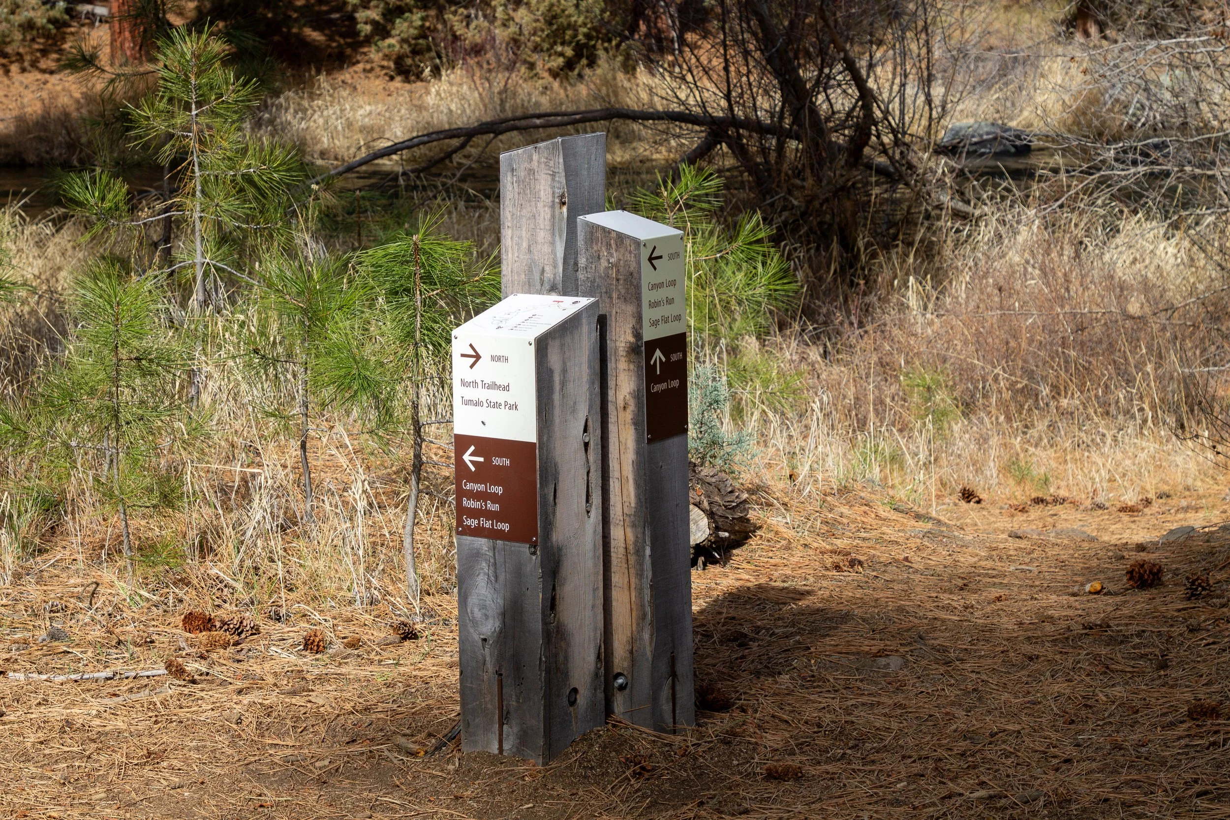
Around 0.5 miles from the trailhead, you’ll reach the junction with the Robin’s Run Trail, a 0.1-mile connector trail to the Canyon Loop.
To keep the hike flat, easy, and fairly short, head left to finish the Sage Loop and Juniper Loop. It’ll be about 1.5 miles total.
To continue on a longer hike with more irregular terrain, keep right. This direction adds the Canyon Loop and access to the Deschutes River. It’s also the direction that connects Riley Ranch to Tumalo State Park.
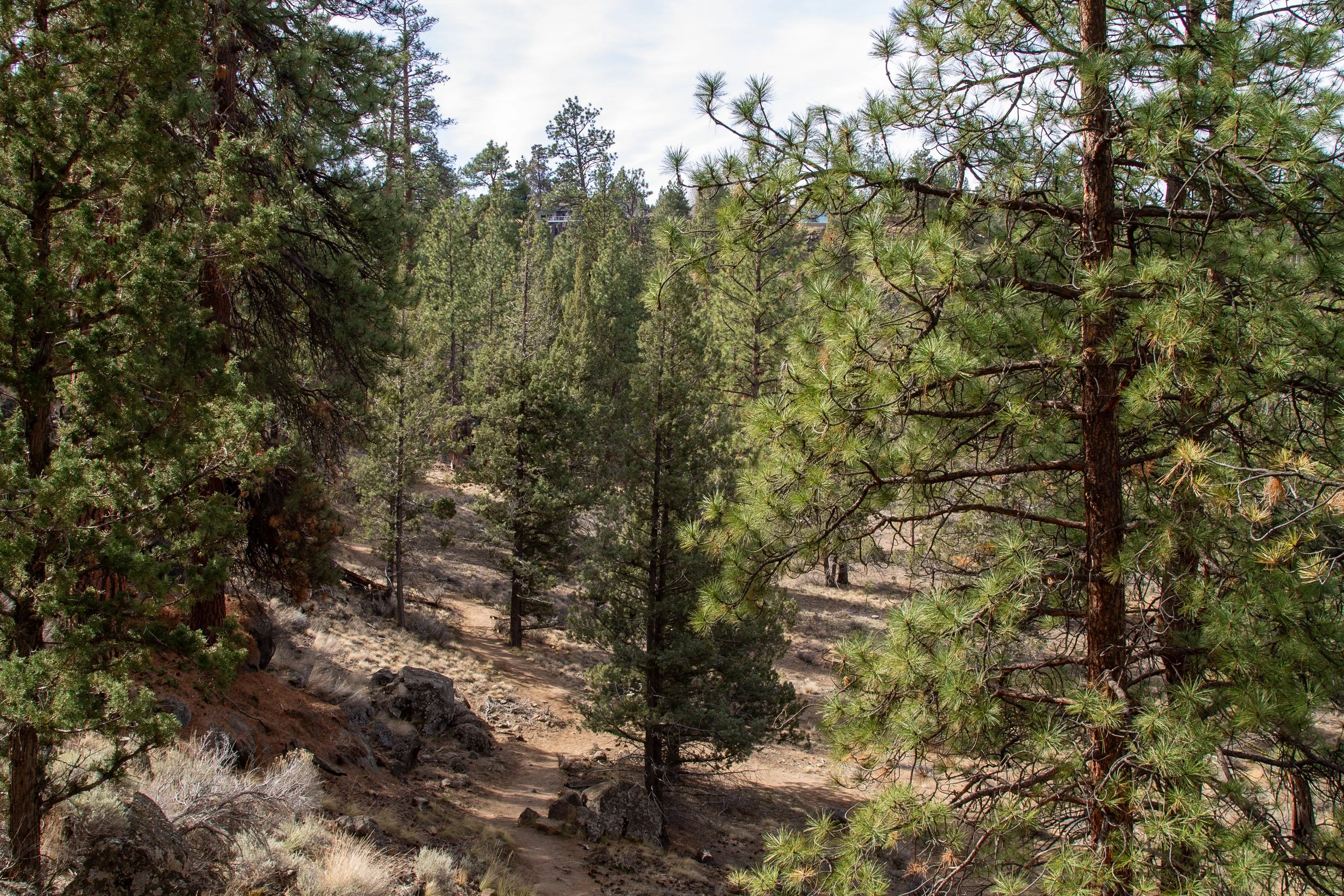
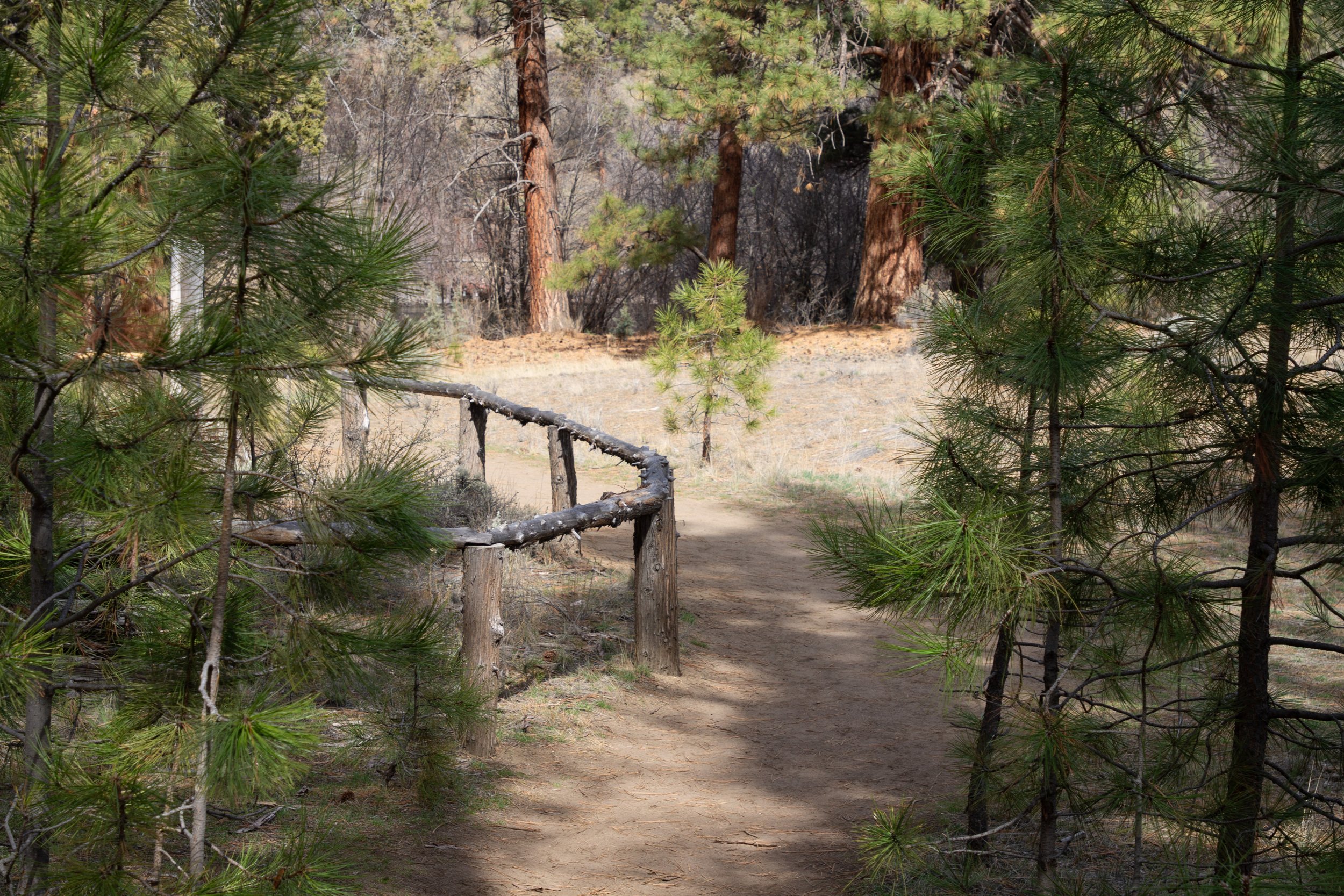
We’ll head right. The trail becomes more rugged as it descends steeply. The scenery changes from open scrubland to ponderosa pine and juniper forest.
Robin’s Run Trail
At the bottom of the hill, the Robin’s Run Trail meets the Canyon Loop. You can go either way at the junction, which is the start and end of the Canyon Loop. We’ll head right to do the loop counterclockwise.
Canyon Loop
Along the Canyon Loop, you’ll pass the ruins of an old cabin, one of two on the hike. The site has more historical than visual interest. It’s a pile of wood these days. A sign describes what little we know about it. The ruins were possibly a two-room structure, perhaps from around 1900, that people may have used as a dwelling. That sort of thing.
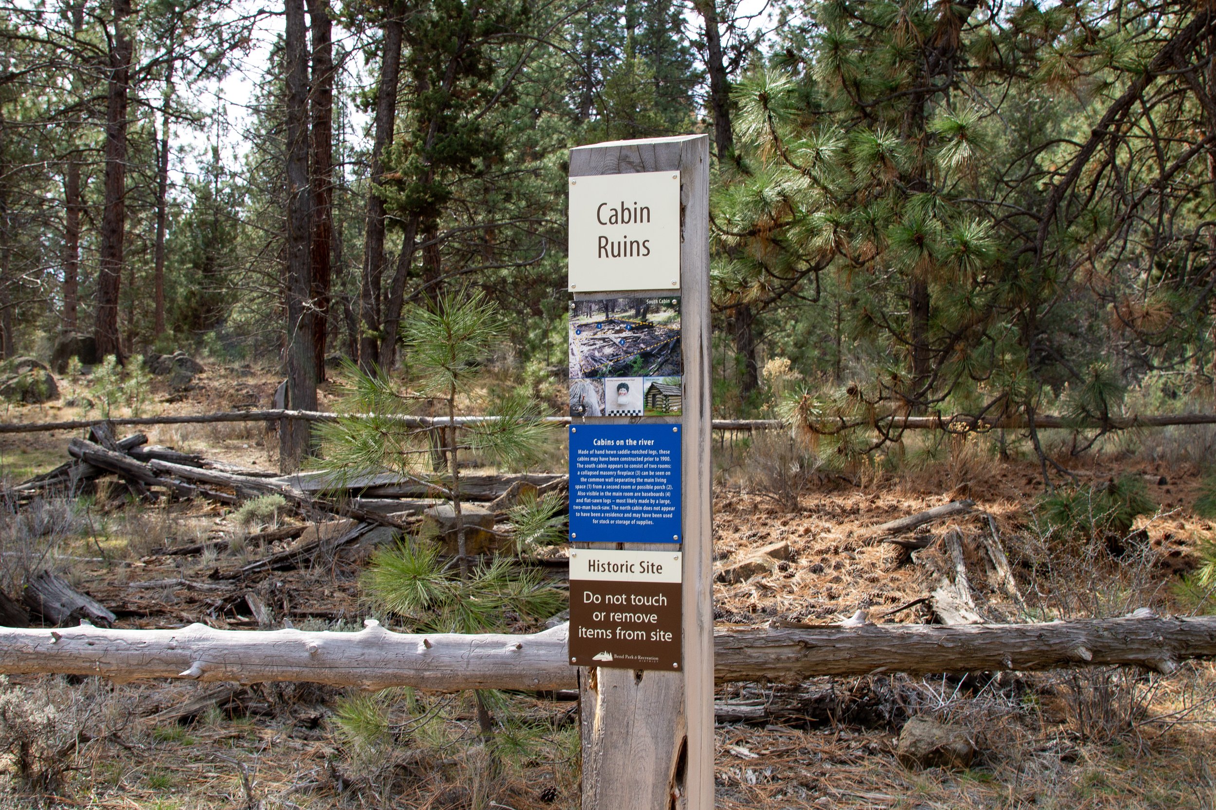
Cabin ruins site
Just past the cabin ruins is the junction with the Deschutes River Trail.
Heading left continues the Canyon Loop, then heads back toward the parking lot via the Sage and Juniper Loop Trails. It’s about 3 miles of hiking total.
Heading right onto the Deschutes River Trail will take you out of Riley Ranch Nature Reserve to Tumalo State Park. If you do the whole trail network, it’s about 7 miles total.
Canyon Loop and Deschutes River Trail junction
Oddly, the All Trails version of the hike takes you about a half mile down the Deschutes River Trail, then turns around at a pretty random point. You’ll pass the boundary for Riley Ranch Nature Reserve and enter the state park. The turnaround point is about a quarter mile beyond the boundary at no particular landmark. It’s not bad, just a little arbitrary. If you do this version, it’s about 4 miles of hiking.
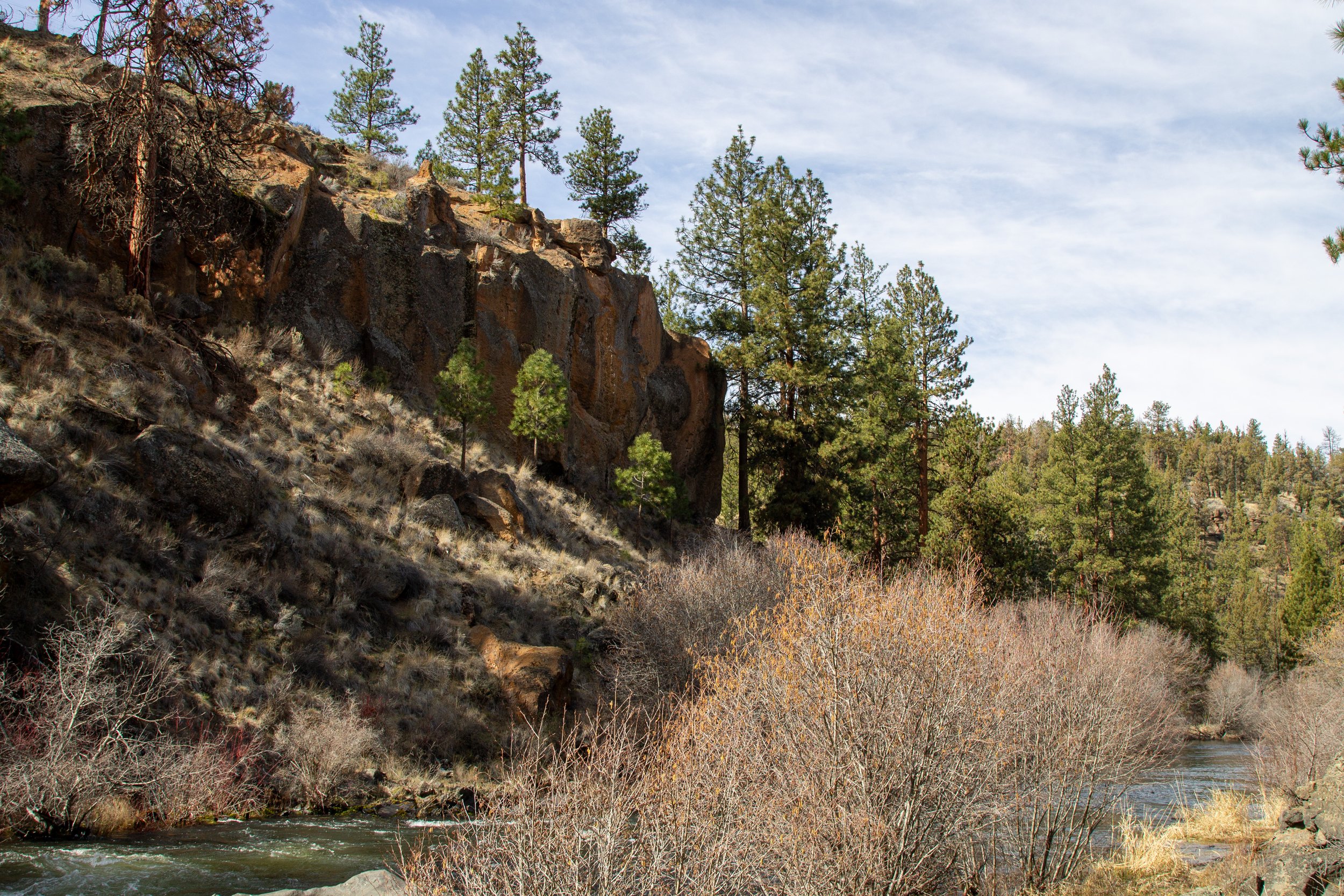
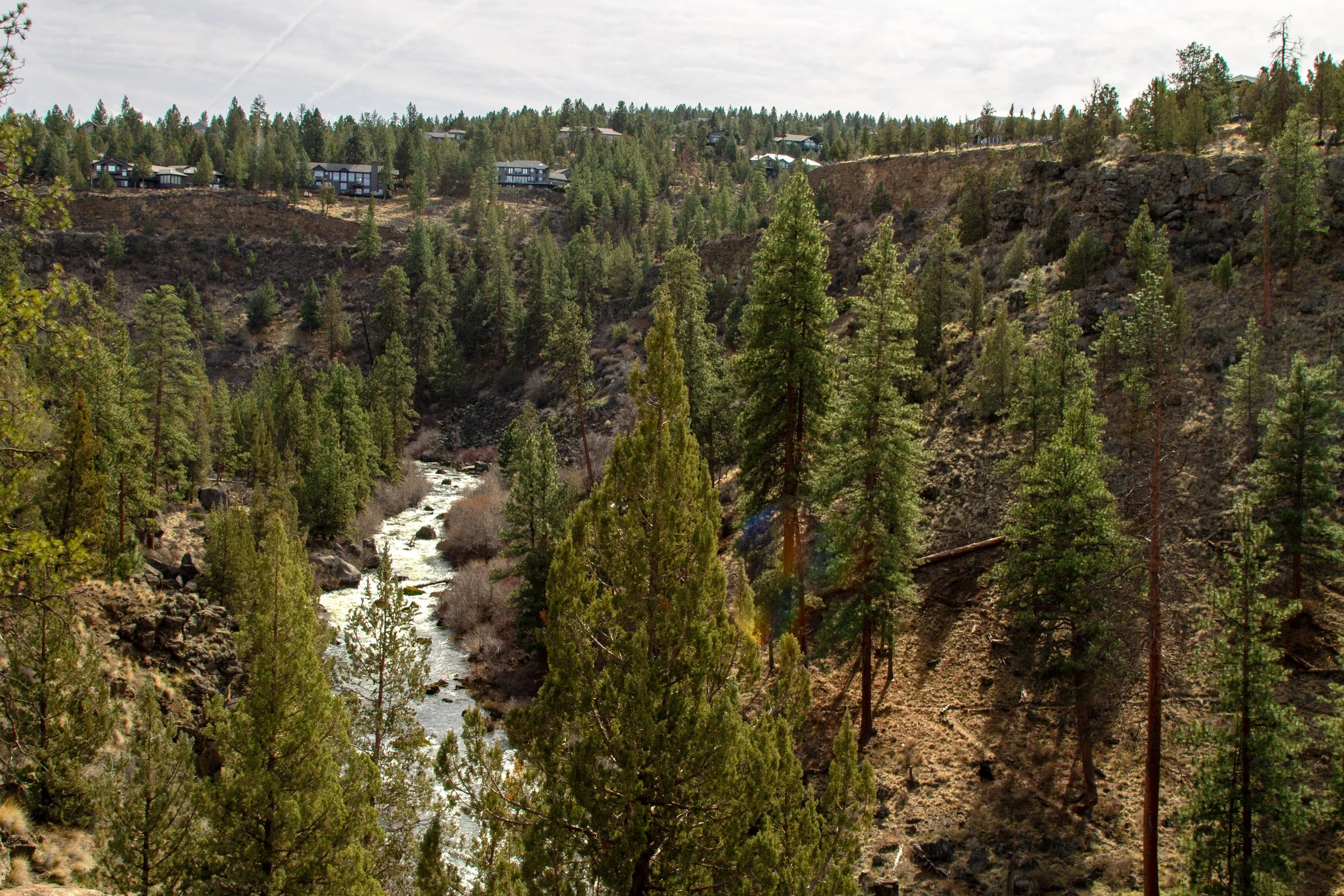
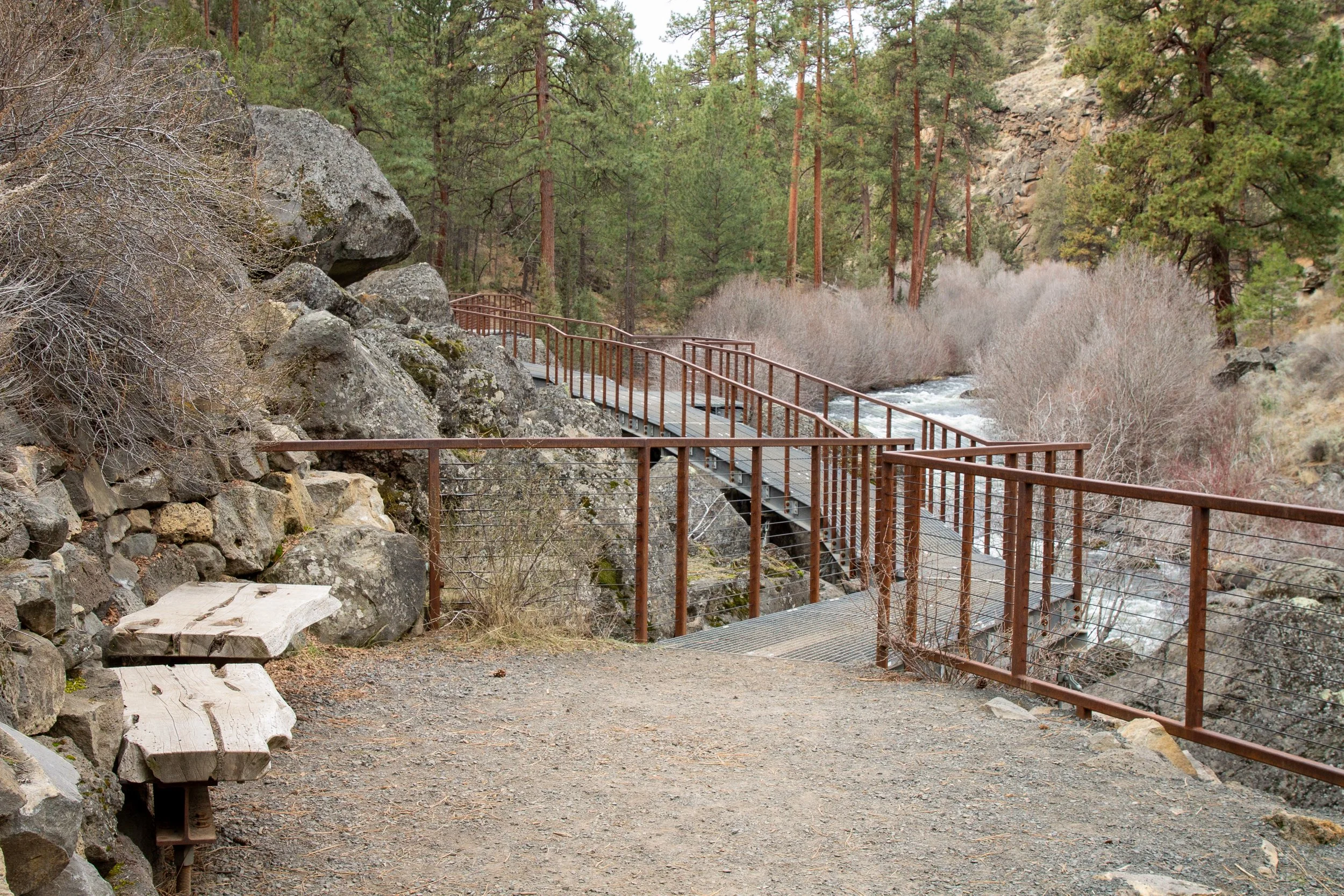
We’ll head left to finish up the Canyon Loop. I’ll return to the longer version below. From the junction, the trail follows the Deschutes River. In early March, rapidly flowing water submerged its banks. On hot days, it would be a good wading spot. Look for the designated river access points on the trail, marked with signs.
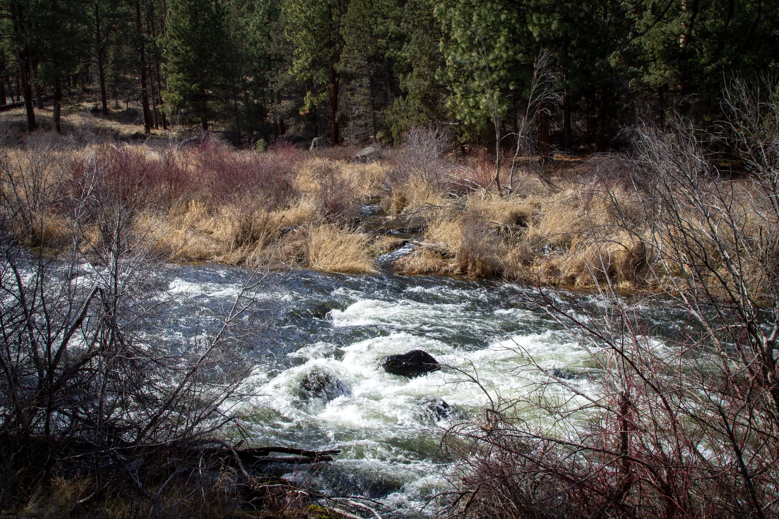
Deschutes River
As you finish the Canyon Loop, you’ll head away from the creek to return to the Robin’s Run Trail. Take a right at the junction to begin the climb back uphill.
Take a right for the Robin’s Run Trail
At the top of the hill is the junction with the Sage Loop. Keep right to finish the loop. Just ahead is a cool observation platform, the Canyon Overlook. The platform stops short of giving you a great view of the canyon, but you’ll walk out over impressive rimrock basalt.
Canyon Overlook
Past the Canyon Overlook, the River Viewpoint has a dramatic overhead view of the Deschutes River.
River Viewpoint
Just past the River Viewpoint, the Sage Loop Trail meets the Juniper Loop. Keep right to finish the Juniper Loop and return to the parking lot.
Add Tumalo State Park
Riley Ranch Nature Reserve Boundary
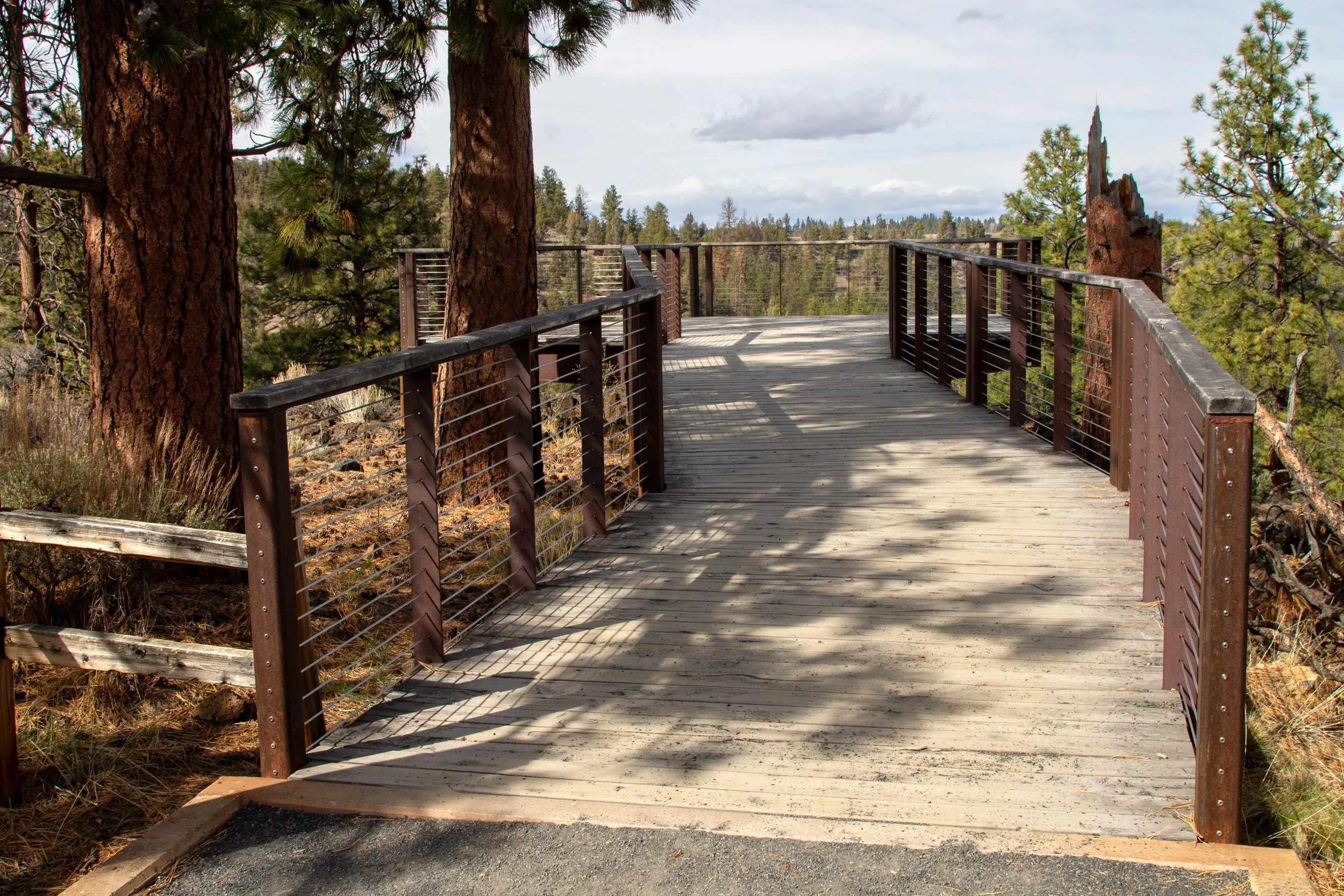
It’s easy to combine the Riley Ranch trails with Tumalo State Park to make a longer hike. Back at the trail junction between the Canyon Loop and the Deschutes River Trail, follow the arrow toward the North Trailhead and Tumalo State Park. You’re now on the Deschutes River Trail. The trail follows the river until you reach the day-use area in Tumalo State Park. The highlight of the hike is an impressive metal walkway along the Deschutes River.
If you take the Deschutes River Trail to the picnic area at Tumalo State Park, then return through Riley Ranch, it’s about 7 miles total.
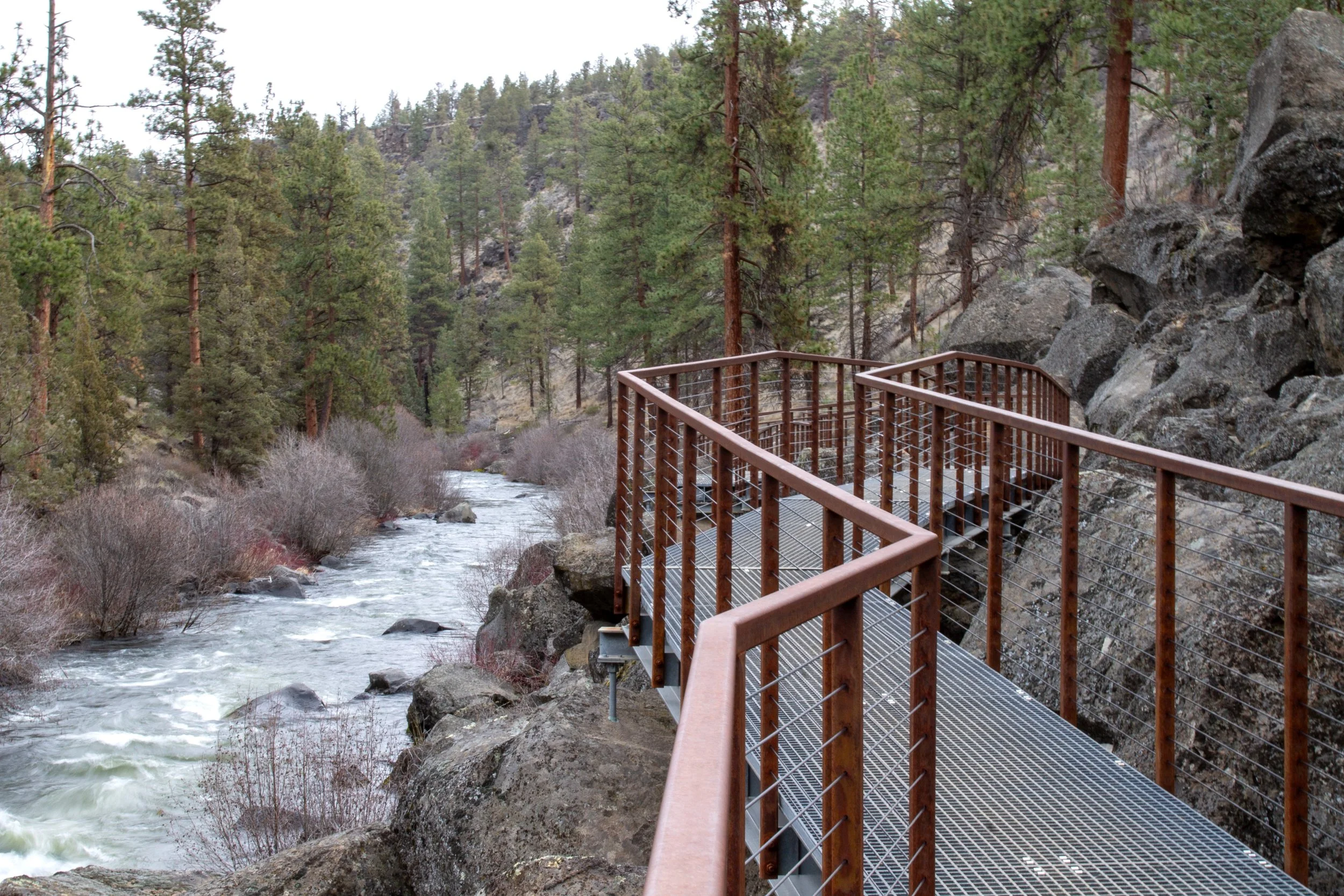
Walkway on Deschutes River Trail
Riley Ranch vs Tumalo State Park
Riley Ranch Nature Reserve:
Free parking
No dogs or bikes
River access
Mountain views
More accessible trails (Juniper and Sage Loops)
Tumalo State Park:
Parking is $10/day or use an annual Oregon State Park Pass
Leashed dogs are welcome
Has a campground and picnic area
Follows the Deschutes River
Getting there
Address: 19975 Glen Vista Rd, Bend, OR 97701
Riley Ranch Nature Reserve is in northwest Bend. Take OB Riley Road to Glen Vista Rd. Continue until you reach the parking lot for Riley Ranch. It’s paved and in good condition. The drive from downtown Bend takes about 10 minutes.
Explore nearby
Check out my Tumalo State Park hiking guide.

Check out the best short hikes near Bend.
Find the best things to do in Bend.