

Chinidere Mountain Hike


Chinidere Mountain is a spectacular hike in the Mount Hood National Forest that gets way less attention than it deserves. Starting at tranquil Wahtum Lake, a short trek will bring you to the summit, where you can see up to six Cascade peaks on a clear day. In summer, wildflowers cover the slopes near the top. Vine maples fill the forest with color in fall. My friends and I passed only two other hikers on a beautiful Saturday in June. I’m sure the drive time limits the visitors. It’s almost two hours from Portland. Bring snacks to enjoy by Wahtum Lake, visit nearby Lost Lake, or stop in Hood River to make a day of it. Here’s everything you need to know about the hike up Chinidere Mountain.

Mount Adams from Chinidere Mountain
Know before you go
The hike to Chinidere Mountain starts at Wahtum Lake Campground. Day-use parking is $10. You can use the NW Forest Pass or America the Beautiful Pass to park. I’d buy a pass before arriving. The envelopes for cash payments were gone when I visited.
A vault toilet and picnic tables are by the parking lot. The campground doesn’t have potable water.
Leashed dogs are welcome on the trail to Chinidere Mountain.
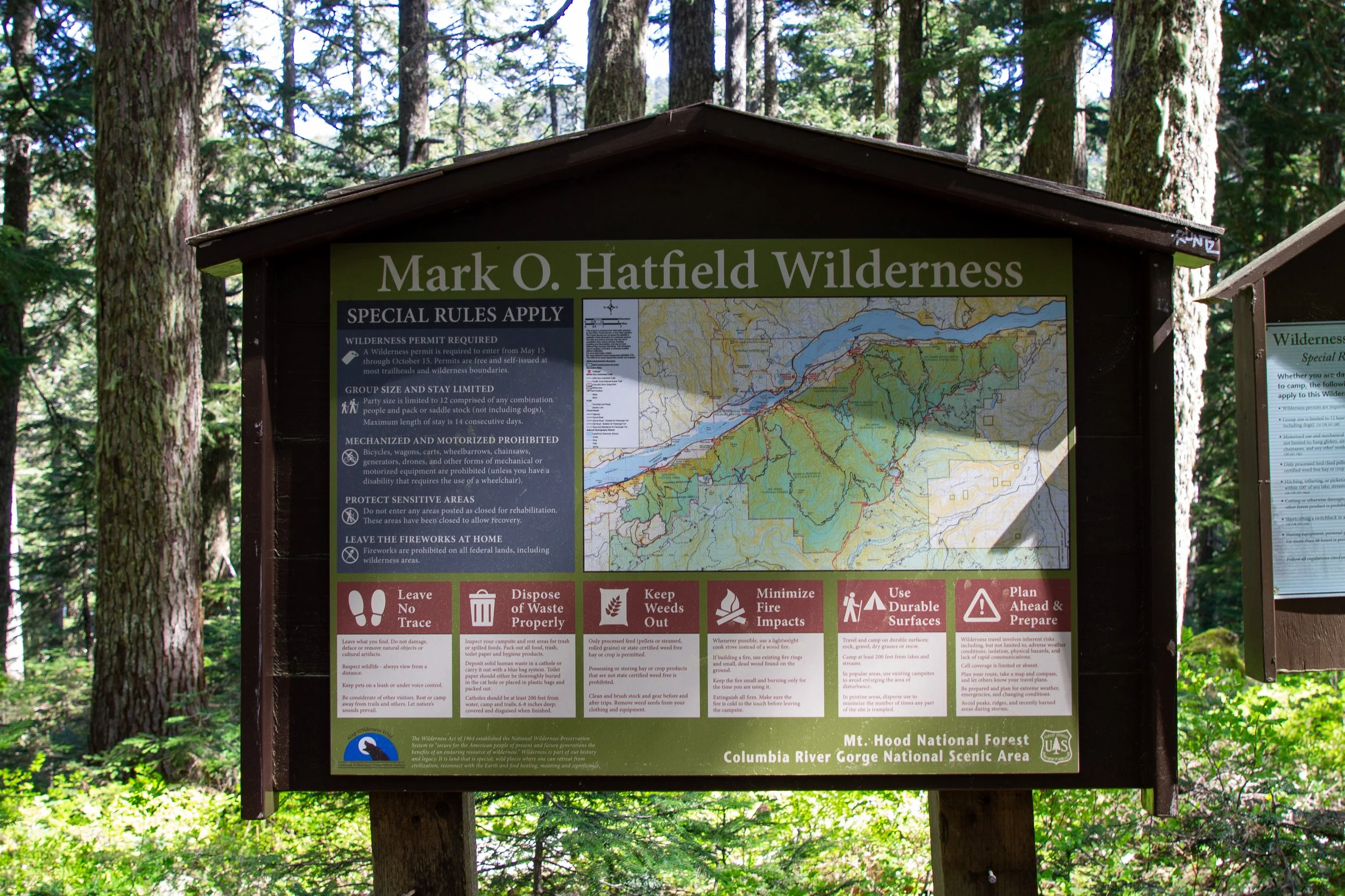
Have an offline map with you. I found the intersecting trails confusing.
The bugs can be a nuisance. They weren’t an issue on my early June hike, but it’s a good idea to wear bug spray later in the season.
The road to Wahtum Lake Campground is in good condition. It’s no problem with a low-clearance vehicle. Snow makes it inaccessible from late fall until late spring.
The Wahtum Lake Campground has first come, first served tent sites.
The hike up Chinidere Mountain is reasonably family-friendly but better for older kids. There are drop-offs at the summit that are easy to avoid.

The view from Chinidere Mountain
On the trail to Chinidere Mountain
Distance: 4 mile loop with a spur
Elevation gain: 1,100 feet
Difficulty: Moderate
Pass required: NW Forest Pass or America the Beautiful Pass
Dog friendly: Yes, leashed dogs are welcome on the trail.
ADA access: No
Season: Late spring through fall

Wildflowers bloom on Chinidere Mountain during summer
The details
The hardest part of the hike up Chinidere Mountain for me was the way-finding. Well, that and the pronunciation. SHIN-uh-deer if you’re wondering. Normally, I have at least one offline map with me. I forgot this time and regretted it. The trailhead has maps, but they show many trails and have enough water damage to make you more confused by looking at them. Starting at the large panel of signs at the trailhead, go right. Don’t take the trail that starts from the restroom.

Start here
Just ahead is a fork in the trail with another large sign. You can go either direction here. The trail to the left, the Wahtum Express is a shorter but steeper route to the lake. To the right, the Wahtum Horse Route makes a more gradual descent. The trails meet up by the lakeshore in less than a quarter mile.
Go right here for an easier route
I took the shorter trail down, which involved more stairs than I thought existed in the world. In hindsight, I suggest the horse route instead. Early blooming wildflowers helped distract me from dreading the return journey. Trillium, avalanche lilies, and violets line the trail in early June. More will open as the summer progresses with some blooms lasting into August.

Trillium blooms along the trail
At the bottom of the stairs, you’ll be at Wahtum Lake. You can go around it clockwise or counterclockwise to start the loop portion of the hike. Clockwise is shorter, steeper, and includes a slightly tricky creek crossing. I went this way but would go counterclockwise if I did it again to make the uphill climb less tiring. You’ll see the other part of the loop on the way back.

Wahtum Lake
Whichever way you go, stay on the trail closest to the lakeshore. Going clockwise, you’ll see the Pacific Crest Trail and Eagle Creek Trail branch off to the left. Keep right to stay near Wahtum Lake.

Keep right toward Chinidere Cutoff
Now for the tricky part. On the west side of Wahtum Lake, the trail crosses East Fork Eagle Creek. Logs are piled up where the creek empties into the lake.

Logs at the creek crossing
Walk carefully over the logs. Some of them sink and roll. Cross one person at a time.

Cross here
Across the creek, you’ll start climbing uphill on the Chinidere Cutoff Trail. I found the directions a lot less confusing from here without so many intersecting trails.

Follow the arrow toward the Columbia River
The Chinidere Cutoff Trail makes a steady climb through a forest of hemlock and Doug firs. Early bloomers like trillium, bleeding hearts, and salmonberry were out. The first beargrass stalks were climbing in early June. I’d expect blooms in July. Partway up the trail, you’ll cross a little stream. This one is easy.

Chinidere Cutoff Trail
After 0.7 miles, you’ll rejoin the Pacific Crest Trail. Take a left at the junction, then an immediate right. A sign points the way toward Chinidere Mountain. Before taking the trail up the mountain, you might want to walk another 0.1 miles on the PCT to reach a view of a clearing with wildflowers.

Tree eating the sign for Chinidere Mountain
The last half mile of the hike follows switchbacks up to the summit of Chinidere Mountain. Toward the top, you’ll pass a couple of places to get a preview of the mountain vistas just ahead. It’s tempting to linger, but keep going. The best views are at the top.

Mount Hood preview
At the end of the Chinidere Mountain Trail, you’ll walk up a talus slope of andesite.

Almost there
Then, it’s nothing but you and the mountains.

I admire Mount Hood from Chinidere Mountain
This hike is the most rewarding on a clear day. From the top of Chinidere Mountain, you can see for hundreds of miles. Look for up to six Cascade mountains. Mt Hood is the most impressive. Once you climb up the final ridge, you’ll be looking straight at its snow-capped peak.

Violets and desert parsley on Chinidere Mountain
To the left of Mt Hood, you’ll see the blue jewel of Wahtum Lake amid conifer-covered hills. To the right are the peaks of Mt Jefferson and one of the Sisters.

Wahtum Lake from Chinidere Mountain
North of Chinidere Mountain are several of Washington’s Cascade peaks: Mount St Helens, Mount Adams, and Mount Rainier.

Mount St Helens
Beginning in early summer, wildflowers appear on Chinidere Mountain’s summit. Spreading phlox, desert parsley, violets, paintbrush, and penstemon were blooming at the beginning of June.

Early wildflowers on Chinidere Mountain
Once you’ve admired the views from Chinidere Mountain, head back down the trail to rejoin the Pacific Crest Trail. Take the part of the loop around Wahtum Lake you didn’t follow on the way up. Once you’re on the other side of the lake, don’t make the same mistake I did. Take the horse route trail instead of the Death by 1,000 Stairs, aka the Wahtum Express. I’m only being slightly dramatic. There are 250 stairs.
Getting there
To reach the Chinidere Mountain hike from Portland, drive east to Hood River. Take Exit 62 from I-84. Turn right at the end of the exit ramp, then right again and follow Country Club Rd for 3 miles. Turn left onto Barrett Dr. In 1.2 miles, turn right onto OR-281. Take OR-281 for about 8 miles. Make a slight right and then an immediate left onto Lost Lake Rd. Stay on Lost Lake Rd for about 5 miles, then make a slight right onto NF-13. In 4.3 miles, continue straight onto NF-1310. In 6 miles, you’ll reach the Wahtum Lake Campground day-use parking area.
The drive from Portland takes a little under two hours. Stopping for a post-hike snack in Hood River helps break up the drive back.
Enjoy your day at Chinidere Mountain!
With love,
Emma
Explore nearby

Lookout Mountain is another spectacular and overlooked hike near Mount Hood.

Find the best short hikes near Mount Hood.

After your hike, check out the best things to do in Hood River.