

Sevenmile Hill Hiking Guide
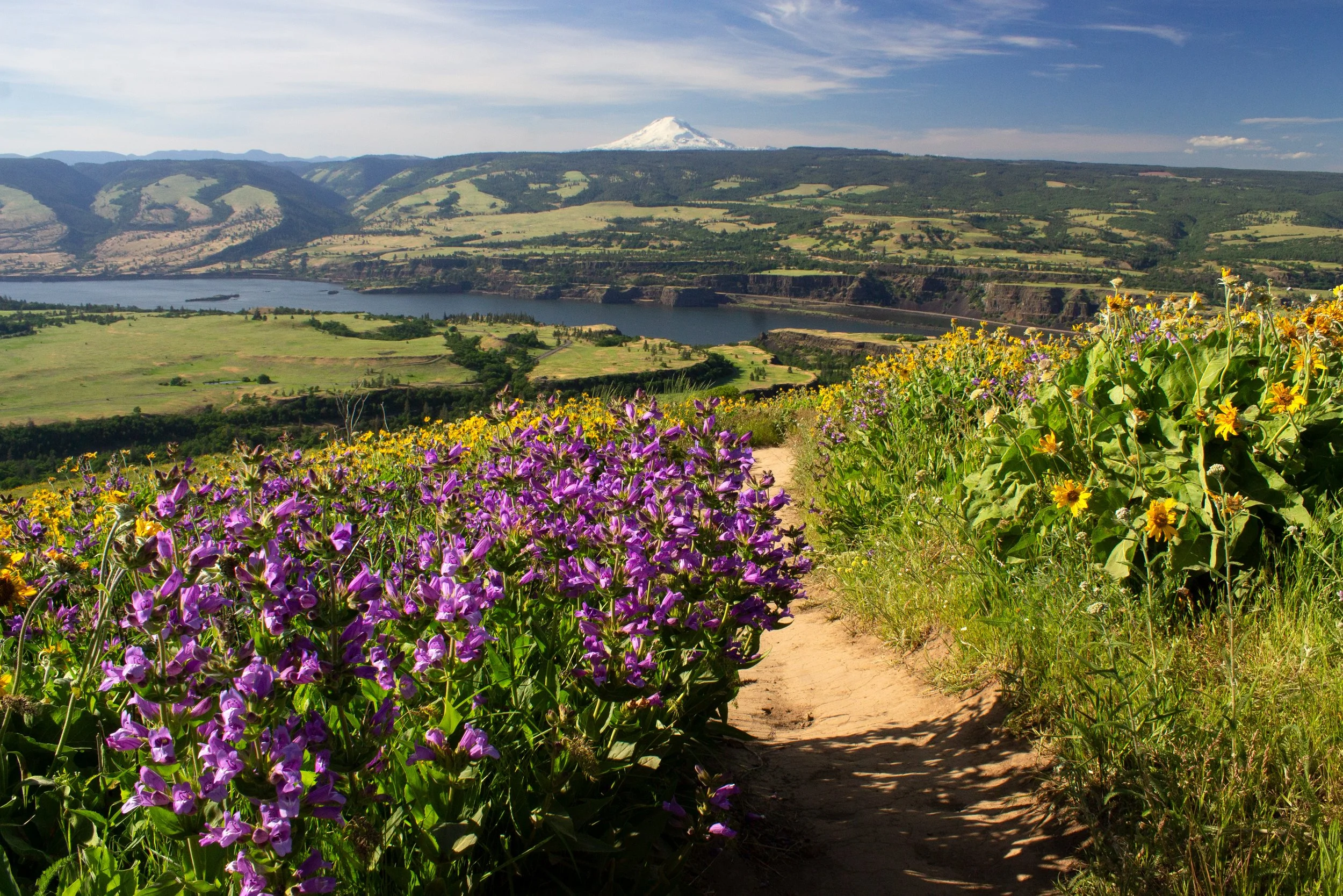
Sevenmile Hill in The Dalles, Oregon, is a perfect combination of breathtaking and obscure. It’s a little tricky to find, and once you get there, the reward is walking up a steep hill that seems to get steeper with each step. But, oh, what a hill! Balsamroot and lupines blanket the ground in spring. Beyond the fields of yellow are far-reaching views of The Dalles, the Columbia River, and, on clear days, Mount Hood’s summit. Here’s how to visit.
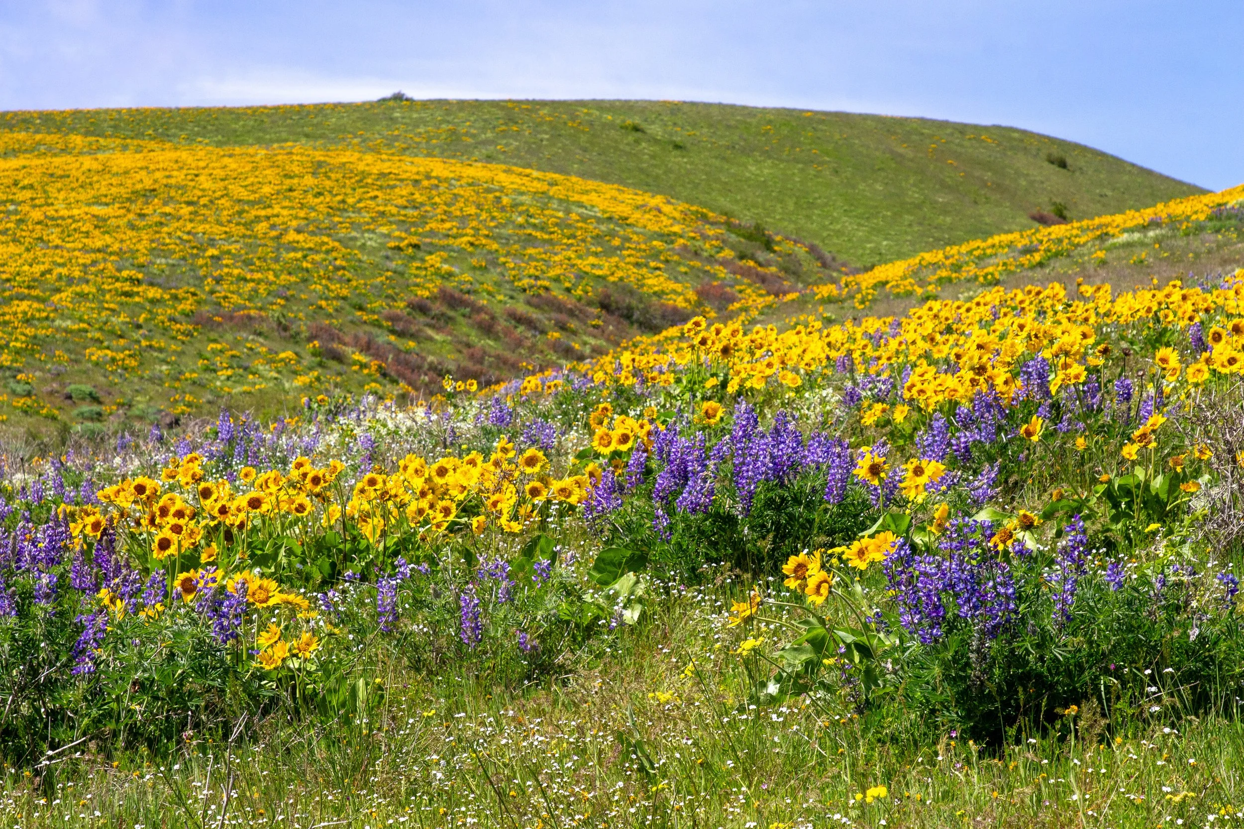
Balsamroot on Sevenmile Hill
Quick stats
Distance: 2+ miles out and back
Elevation gain: 800+ feet
Difficulty: Moderate
ADA access: No
Know before you go
Cost: It’s free to visit Sevenmile Hill. You don’t need a pass.
Amenities: None
Dog-friendly: Yes, but watch for ticks and poison oak.
Hazards: Watch for rattlesnakes.
Leave no trace: Please don’t pick the wildflowers. Pack out any trash. Avoid entering private property. Boundaries have signs and fences.
Season: All year, best in the spring when the wildflowers bloom.
What to bring: Sunscreen, water, layers, closed-toed shoes. The trail has no shade and soooo much wind.
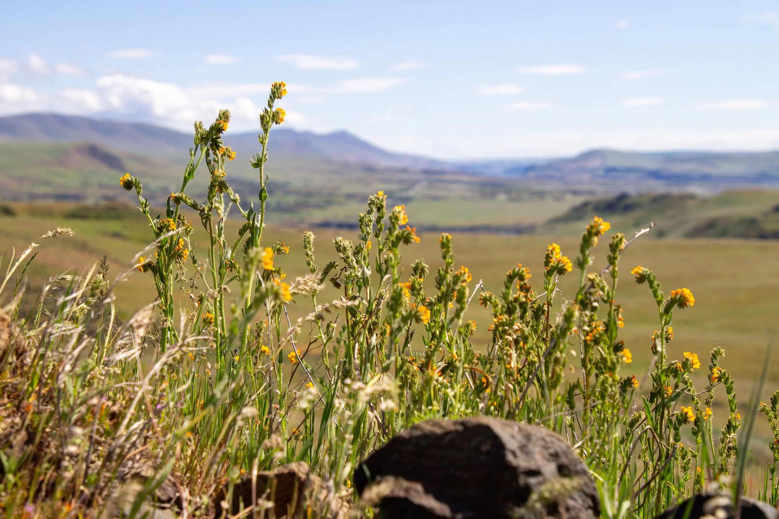
Wildflowers at Sevenmile Hill
Lupines and balsamroot on Sevenmile Hill in April
Wildflowers bloom on Sevenmile Hill from late March to early May. April is a great time to visit most years. Balsamroot is the star here, with lupines being the best supporting actor. Other notable blooms are fiddleneck, popcorn flower, milk vetch, desert parsley, coastal manroot, and larkspur. Later in the season, paintbrush joins the mix. Outside of wildflower season, you’ll still get great views from Sevenmile Hill, although it won’t have the same wow factor.
Finding the trailhead
Sevenmile Hill isn’t the easiest to find. If you enter the GPS coordinates or “Sevenmile Hill Trailhead” in Google Maps, it will take you to private property. You’ll reach a gate that says no trespassing. If you get here, turn around. You’re close, but in the wrong place. If you type in “Sevenmile Hill,” it’s even worse.
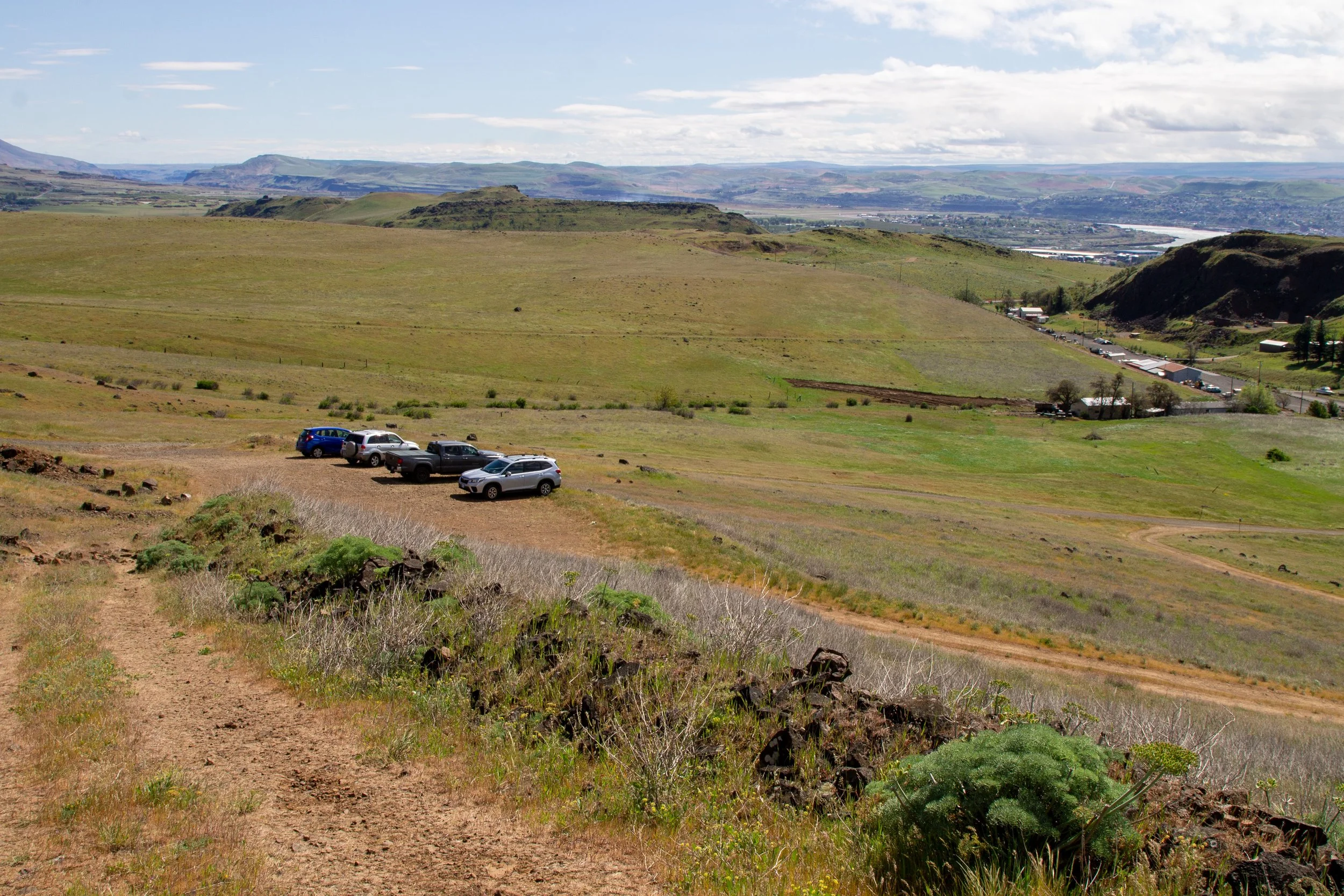
Instead, navigate to “7 Mile Hill Trail Access Road.” It will take you to the bottom of a dirt road. The parking area is just up the hill. The road is steep, unpaved, and has pointy rocks. You’ll be happier with 4WD, but I did make it in the Honda Fit.
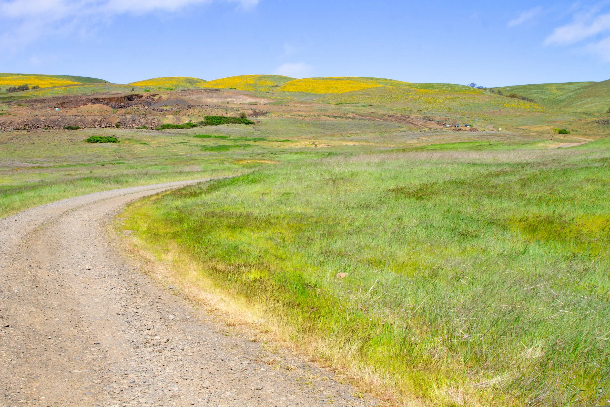
Take this road to the parking area
Hike options
Sevenmile Hill is a little different from the well-known wildflower hikes in the Columbia Gorge in that there’s not one set trail to follow.
To see the best of the wildflowers, you’ll need to walk up the hill, about 2 miles out and back on a clearly defined trail. This version of the hike is on AllTrails.
Once you’re at the top, you can keep going along the fence line at the west side of the property until it sort of peters out, more like 4 miles out and back. The trail gets fainter from here, but it’s still visible.
People sometimes make the hike into a longer loop, which is more like bushwhacking. This version of the hike is on Oregon Hikers.
The most impressive wildflower displays are at the end of the two-mile version. From here, the trail gets less steep but still climbs. You get slightly better views of the Columbia River, but the flowers thin. In other words, go as far as you want.
Hike details
Start here
From the parking lot, you’ll see two wide dirt paths. One has no trespassing signs. Take the other. You’ll start climbing an old access road. The wildflowers appear right away, although the biggest displays are at the top. Look for fiddleneck, milk vetch, and desert parsley around the start of the hike.
Fiddleneck
A short dirt scramble trail takes you up to another old access road, bypassing the big gravel pit. The offline AllTrails map is helpful here. Fortunately, you’ll be able to see your destination, the bright yellow fields at the top of Sevenmile Hill.
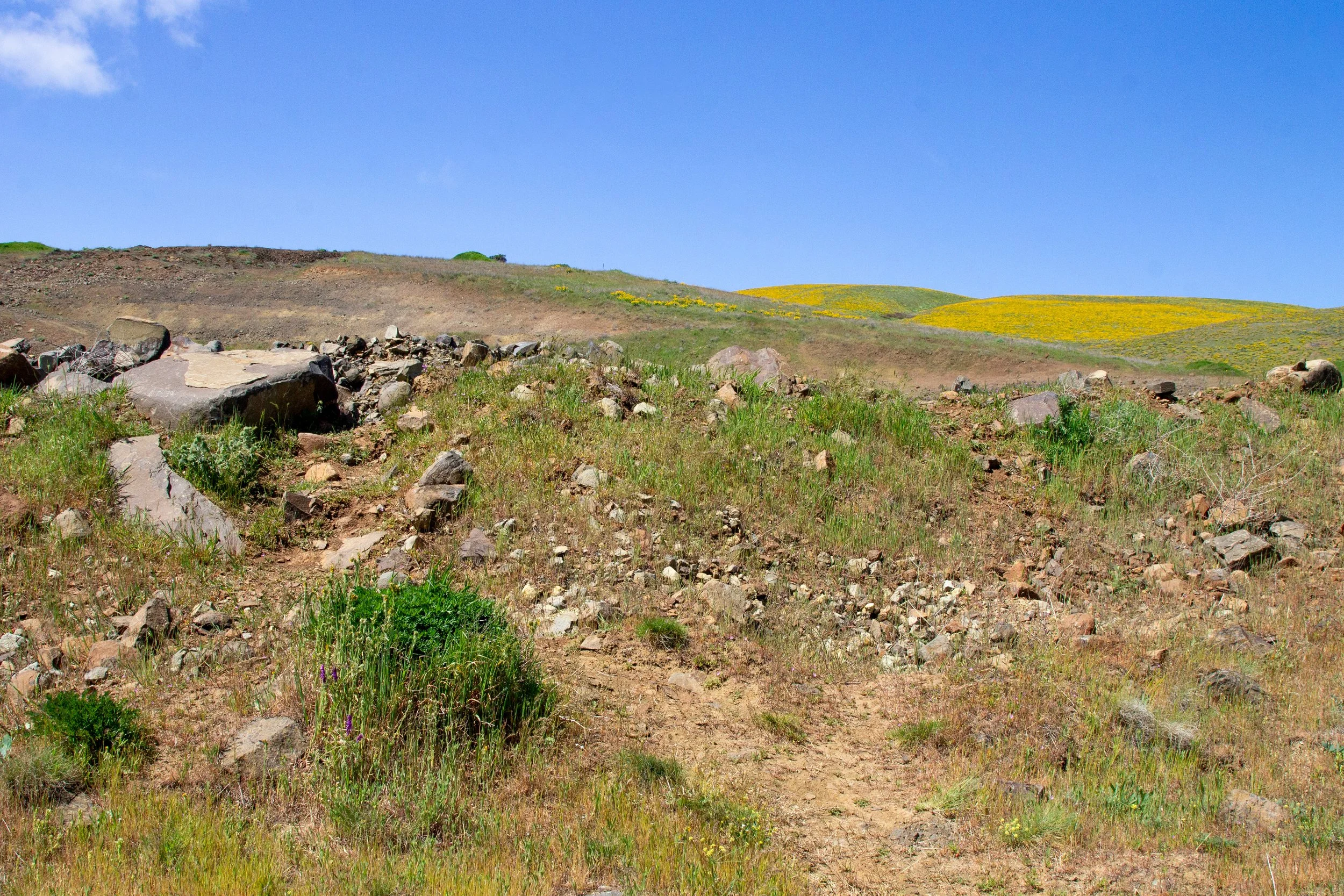
Look for this trail to bypass the gravel pit
From here, the trail gets easier to follow. Small wildflowers cover the old roadbed where you walk.
Old access road
As you get closer to the top, the trail narrows. Lupines and balsamroot start appearing on the hillside. Don’t be fooled by the short distance. The hike is steep and tiring. The stunning views in every direction are a helpful distraction.
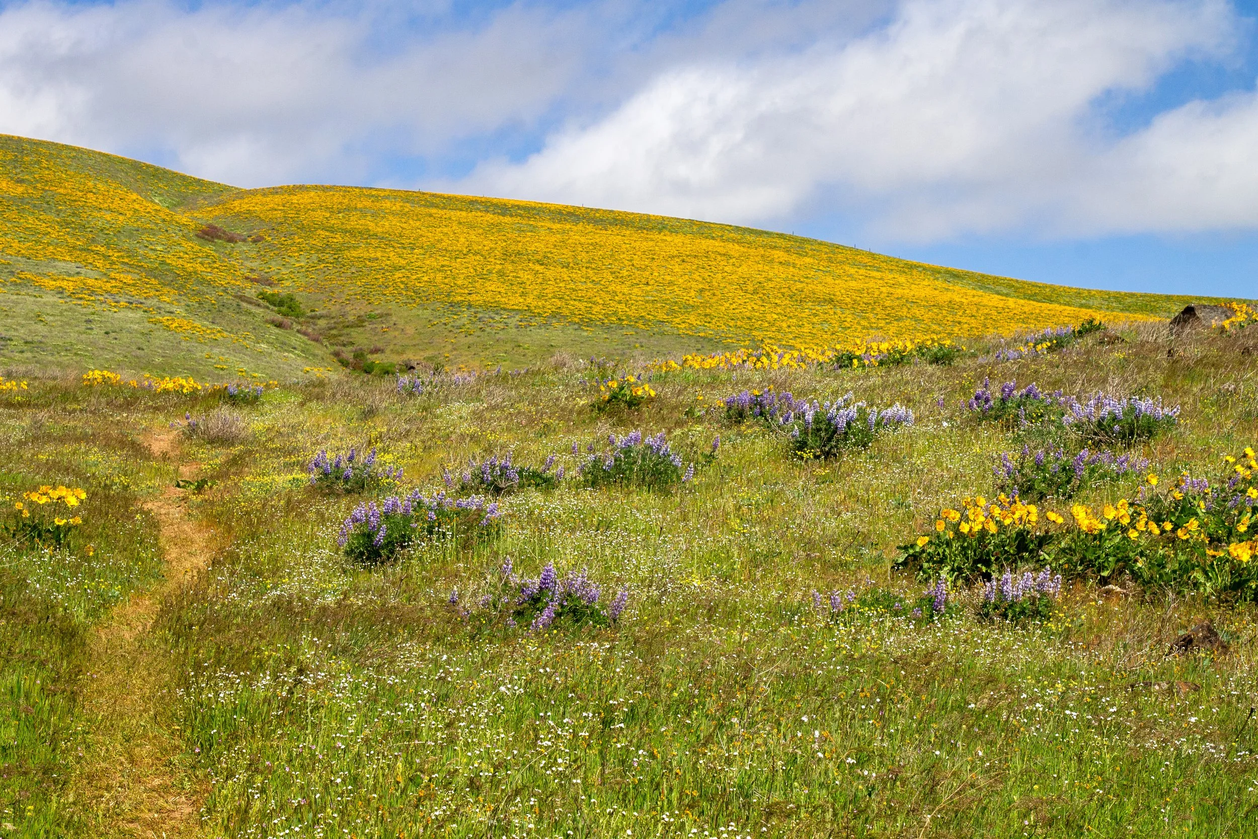
Trail narrows
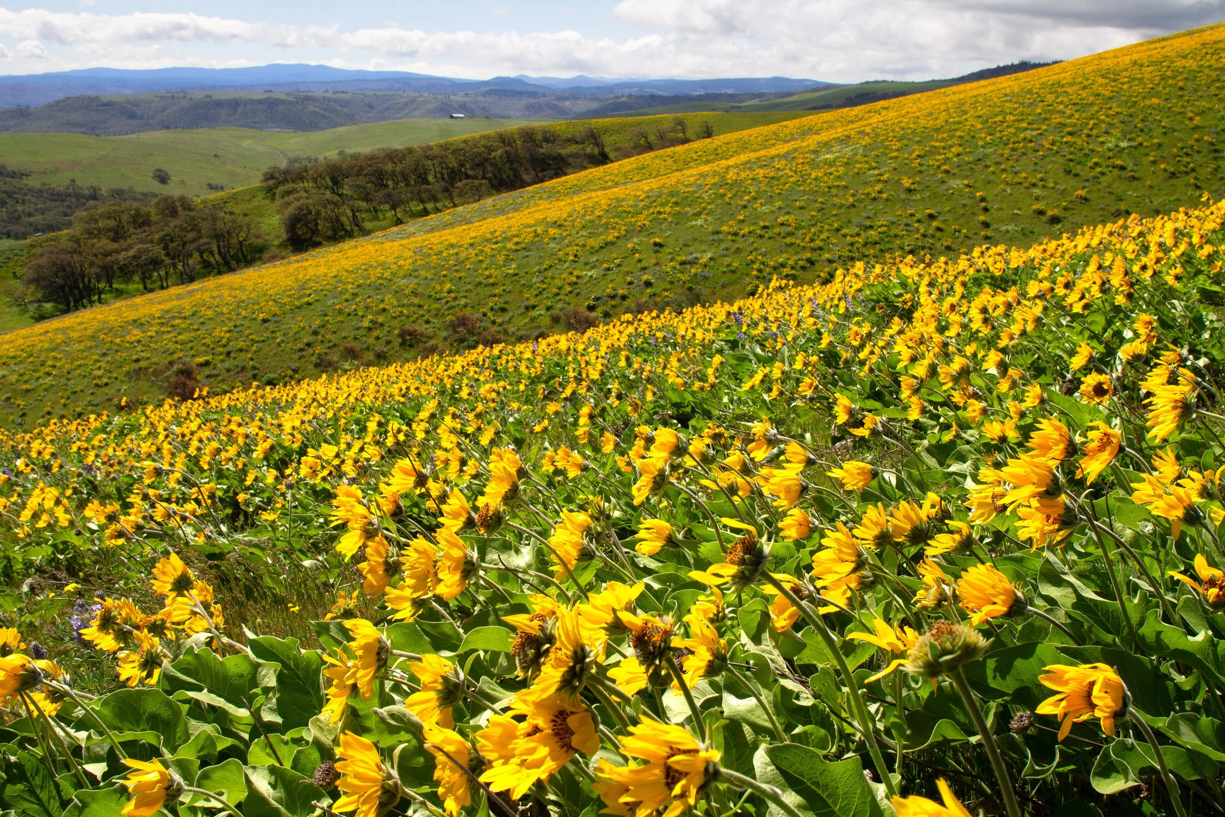
Soon, you’re surrounded by a sea of yellow as you walk (or, rather, trudge, wind-buffeted and panting heavily).
So pretty, but so steep
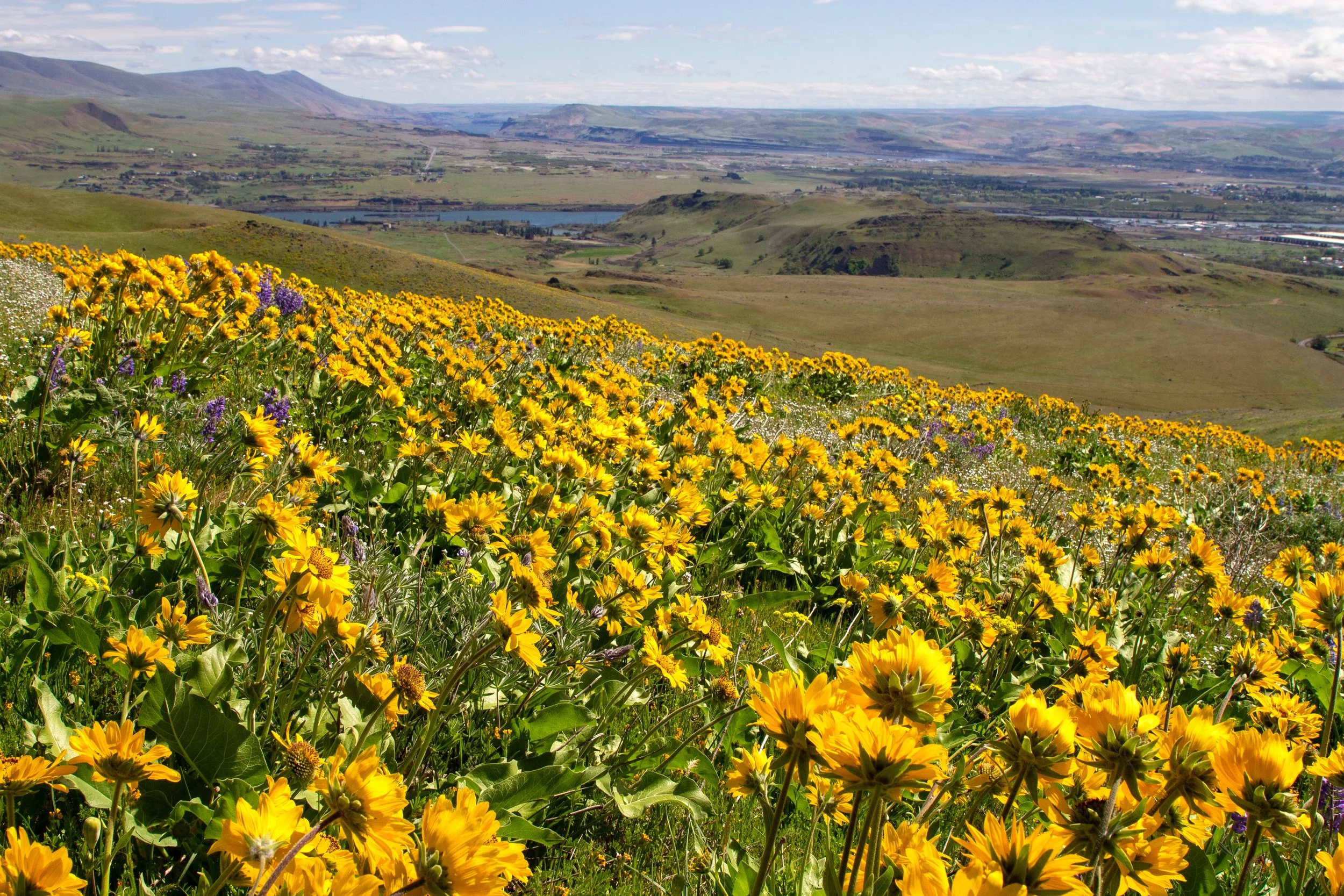
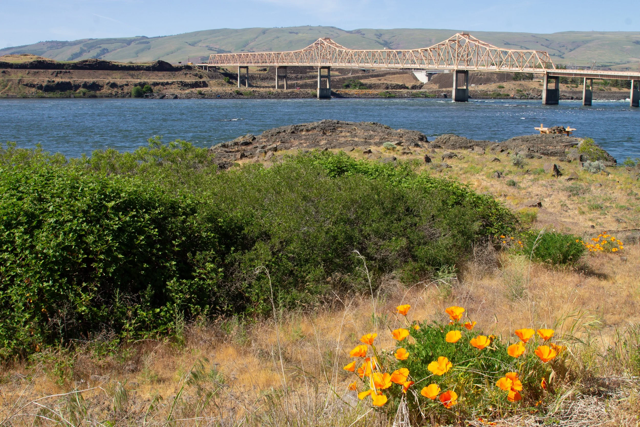
To the north and east, the Columbia River makes a tight bend past The Dalles. On the hillside just north of the trail, the wildflowers are much thinner. A fellow hiker told me that the place where the flowers drop off is the farthest reach of the 2025 Rowena wildfire. Nothing looks charred, just less yellow as the land recovers.
Sevenmile Hill
To the south, Mount Hood rises above yellow and green hills. I had to use my imagination to picture the summit on the cloudy day I visited.
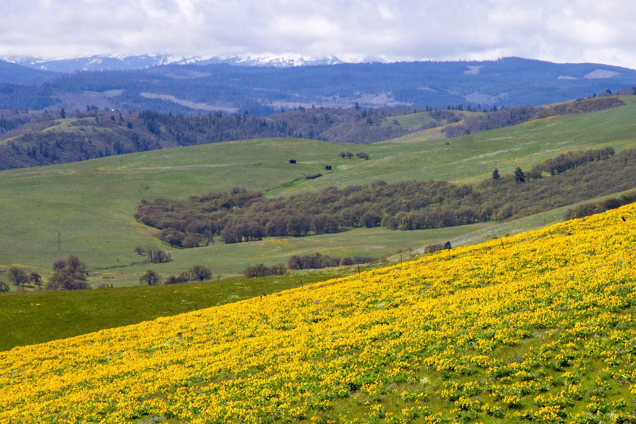
Clouds cover Mount Hood
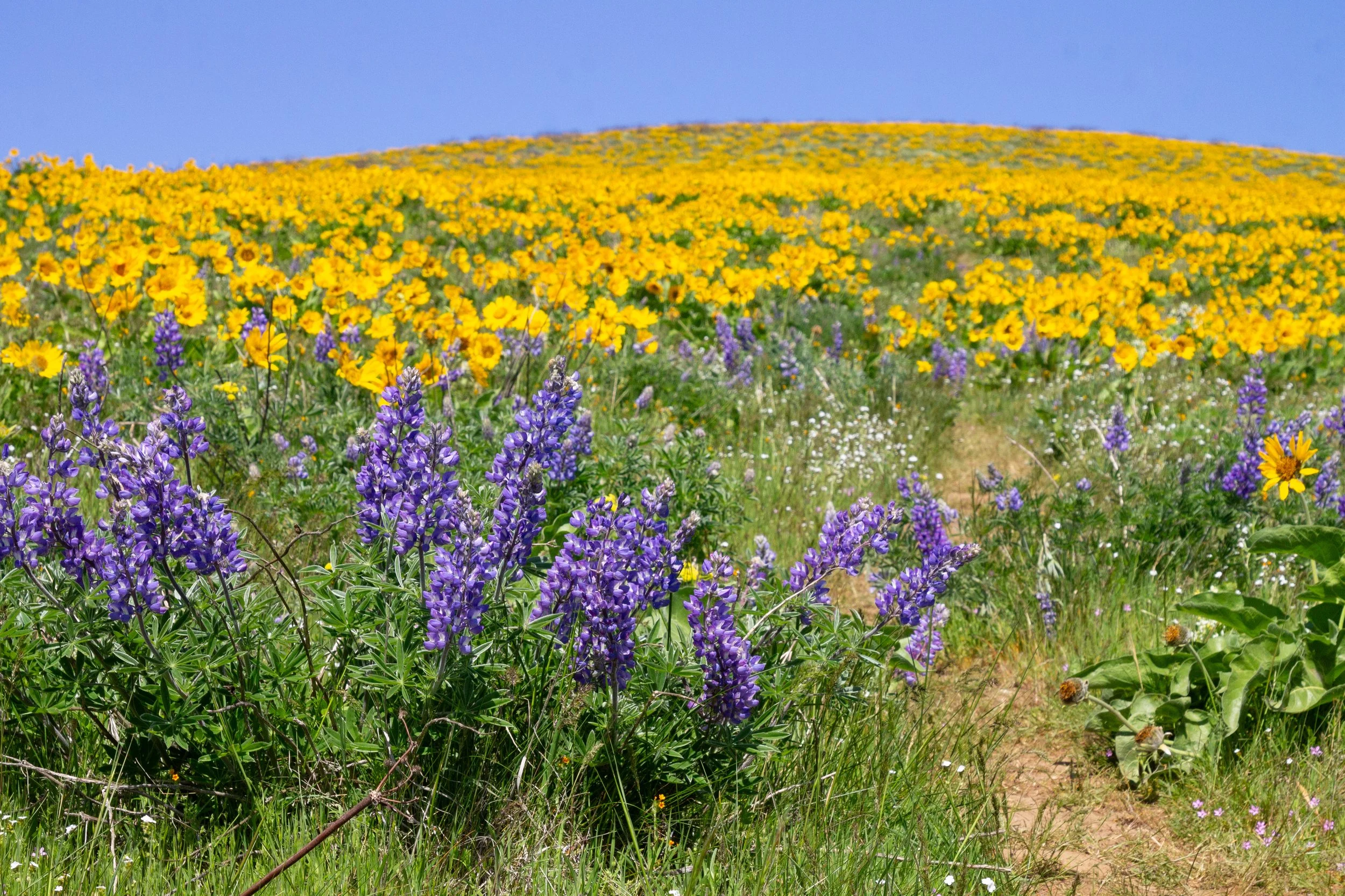
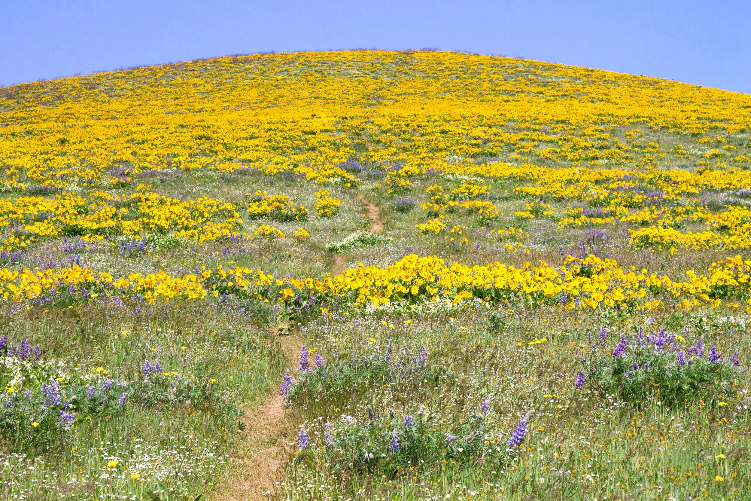
Towards the top of Sevenmile Hill, you’ll reach a fence. You’re now at the best wildflower displays and the turnaround point for the 2-mile hike. If you’d like to keep going, look for the faint trail along the fence line heading north. You’ll pass through a break in an adjoining fence to continue. Make sure not to cross the fence to your left. It’ll be obvious since it’s the one with the no trespassing signs.
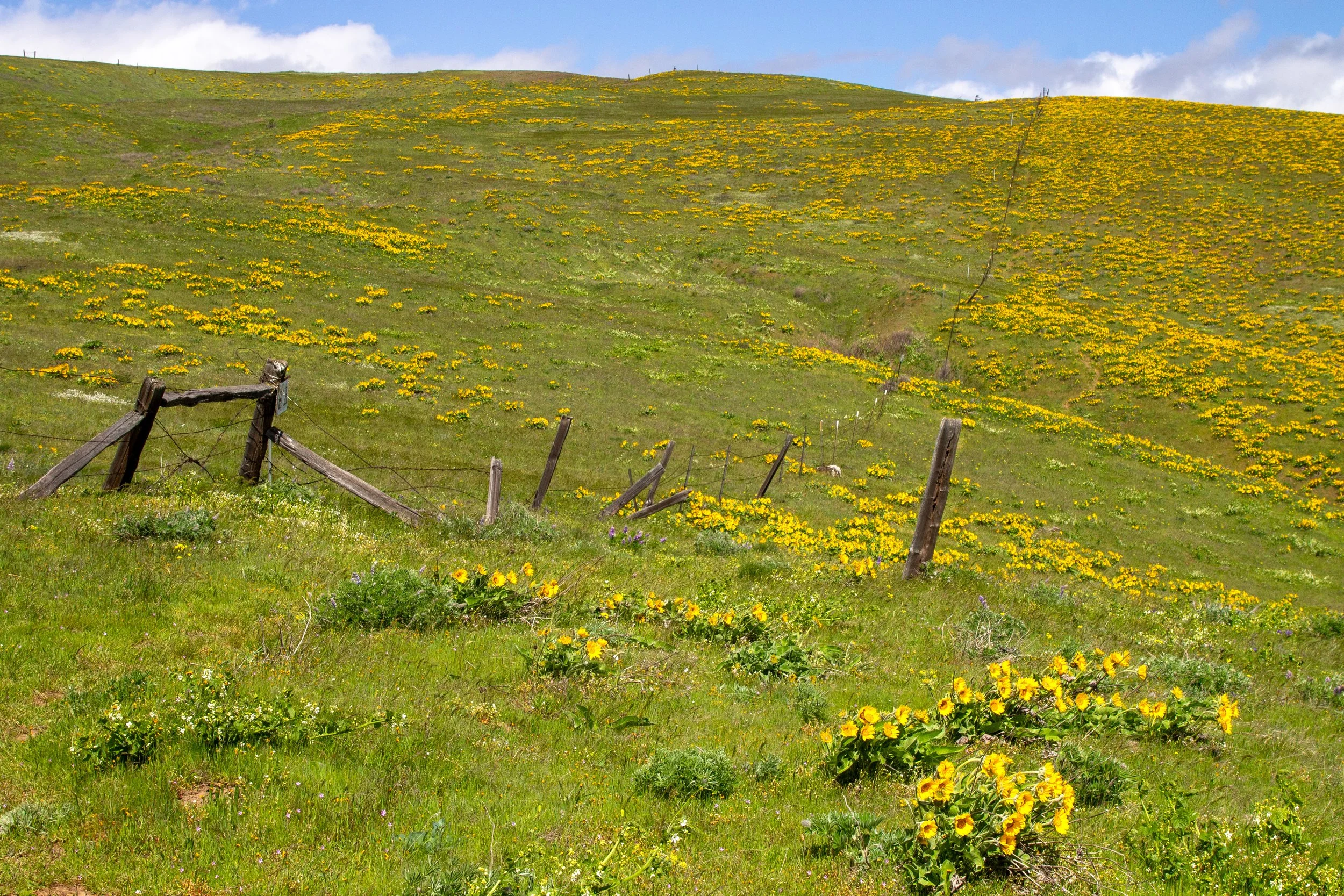
You can continue the hike along the fence
As you hike along the fence, a trail is visible but faint. Watch your step. The chances of seeing a rattlesnake are low, and they aren’t aggressive, but it’s harder to spot them in the grass than it was on the dirt trail. You’ll start seeing more of the Columbia River as you climb. Meadowlarks call from the fields.
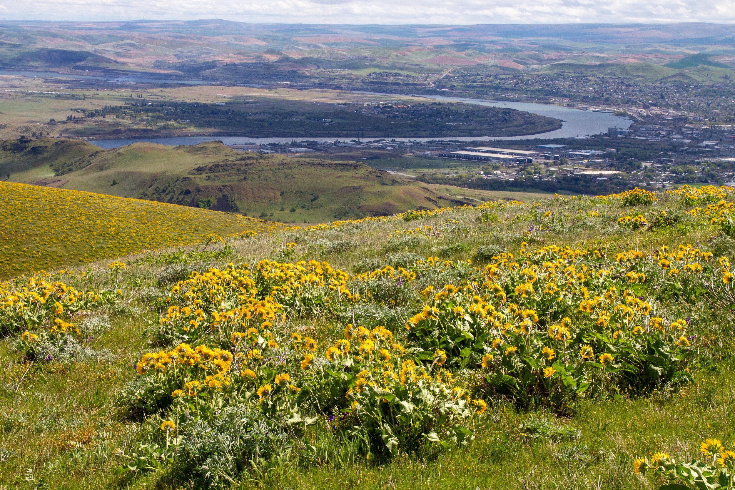
View of The Dalles from Sevenmile Hill
After another half mile or so, the wildflowers dwindle. You can turn around anytime. I went to the tree line, which is about 4 miles out and back, and where I stopped seeing a trail. Normally, I like a loop hike, but I wasn’t sorry to return through the balsamroot.
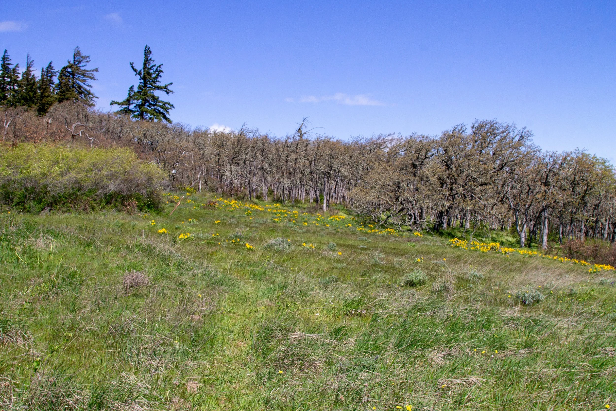
Trail peters out around the trees
Getting there
Navigate to: 7 Mile Hill Access Rd in Google Maps.
To reach Sevenmile Hill from Portland, take I-84 E to Exit 82 in The Dalles. At the end of the ramp, make a slight right, then an immediate left onto US 30 E. In 0.3 miles, turn right onto Chenowith Loop Rd. In 0.6 miles, take a right onto W 10th St. In 0.2 miles, it becomes Chenowith Rd. Then, in 0.4 miles, turn right onto 7 Mile Hill Rd. Continue for 1 mile. Your destination will be on your right, an unmarked dirt road. The parking lot is at the end of that road (about 0.1 miles).
If you reach a gate that says private property, you went too far. Return to 7 Mile Hill Rd and look for the dirt road back the way you came.
Enjoy your hike at Sevenmile Hill!
With love,
Emma
Explore nearby
Check out the best things to do in The Dalles.