

Four Sisters Natural Area
Four Sisters Natural Area is a magical place just west of The Dalles, Oregon. In spring, balsamroot and lupines cover the hillsides in vibrant yellow and purple. Unlike most wildflower destinations in the Columbia Gorge, it doesn’t have much in the way of established hiking trails. There’s no delayed gratification. Flowers surround you from the start. You can do a little hiking, but, at least for me, it’s more of a place to take pictures and stand in slack-jawed amazement at the beauty of the flowers. Here’s how to visit Four Sisters Natural Area.
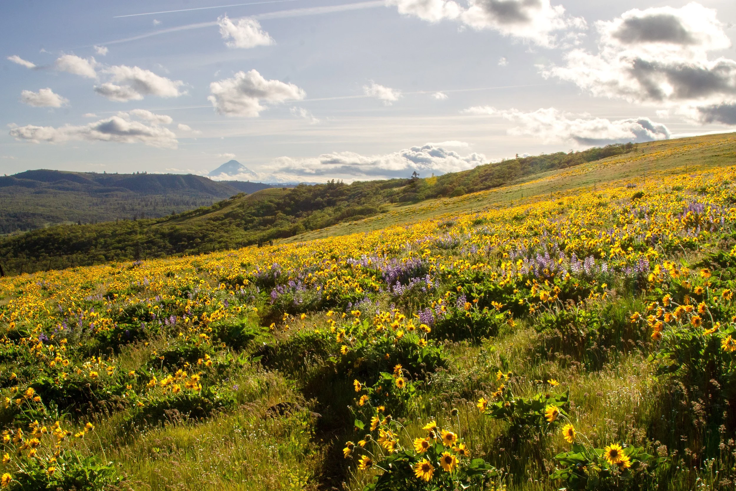
Lupines and balsamroot at Four Sisters Natural Area
Know before you go
Cost: Free. You don’t need a pass to park.
Amenities: None
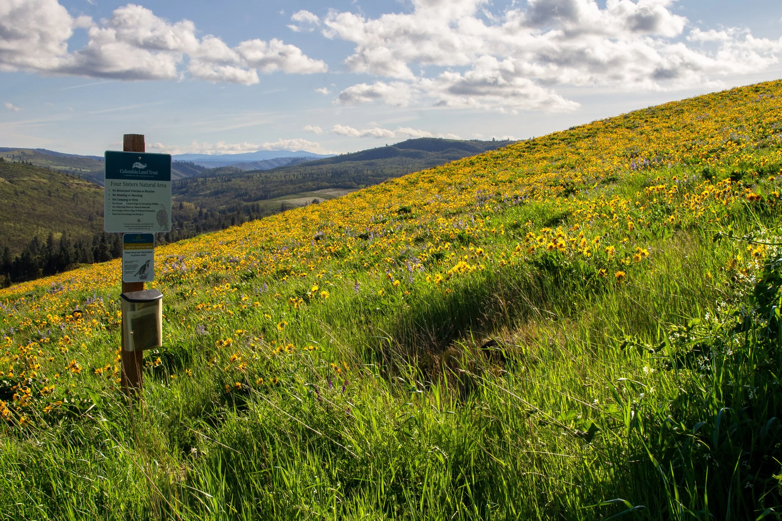
Dog friendly: Yes. They need to be on leash from April 15th through July 15th to protect nesting birds.
Season: Best in spring when the wildflowers are blooming.
Leave no trace: Please don’t pick the wildflowers. Pack out any trash. Don’t cross private property boundaries.
Hazards: Watch for rattlesnakes, ticks, and poison oak.
Shade: Nope
ADA access: No. Beyond the wildflowers you can see from the road, the terrain is uneven, rocky, and sometimes steep.
Hiking: Sort of, see below.
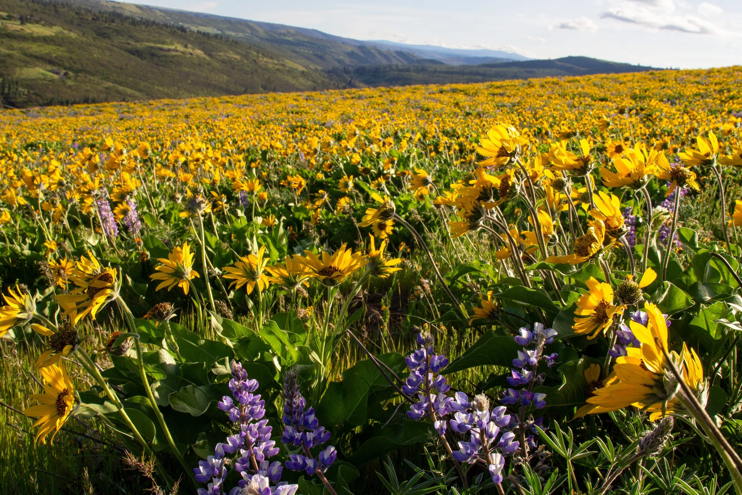
Wildflowers at Four Sisters Natural Area
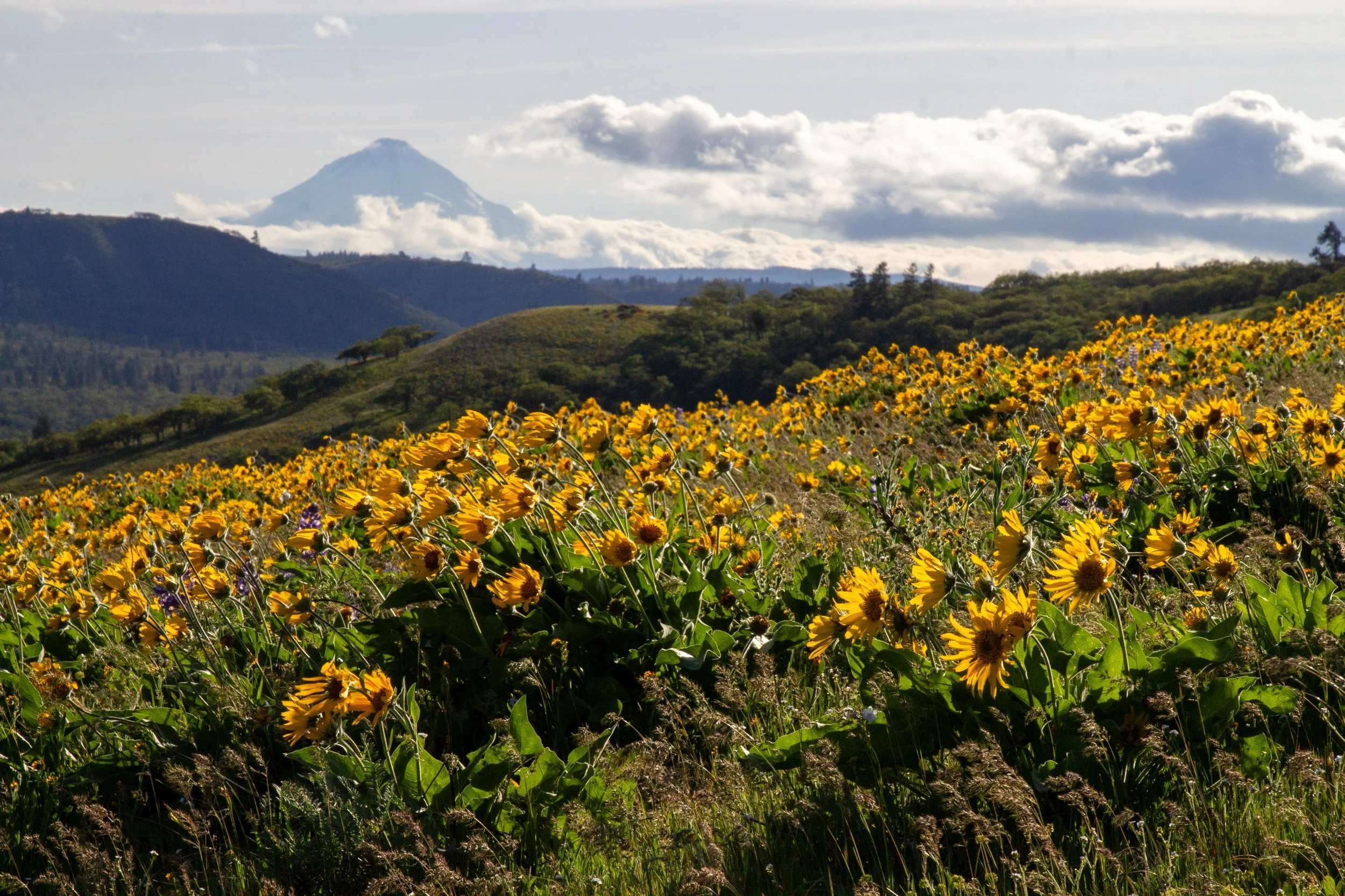
Mount Hood view at Four Sisters
Wildflowers bloom at Four Sisters Natural Area from late March until mid-May. The first blooms, like grass widows and Columbia desert parsley, appear around early March. Most years, late April is a good time to see the best of the balsamroot and lupines. There are other wildflowers (cluster lilies, camas, popcorn flower, larkspur, etc), but they get somewhat overshadowed by the showiness of the balsamroot.
Parking and trailhead
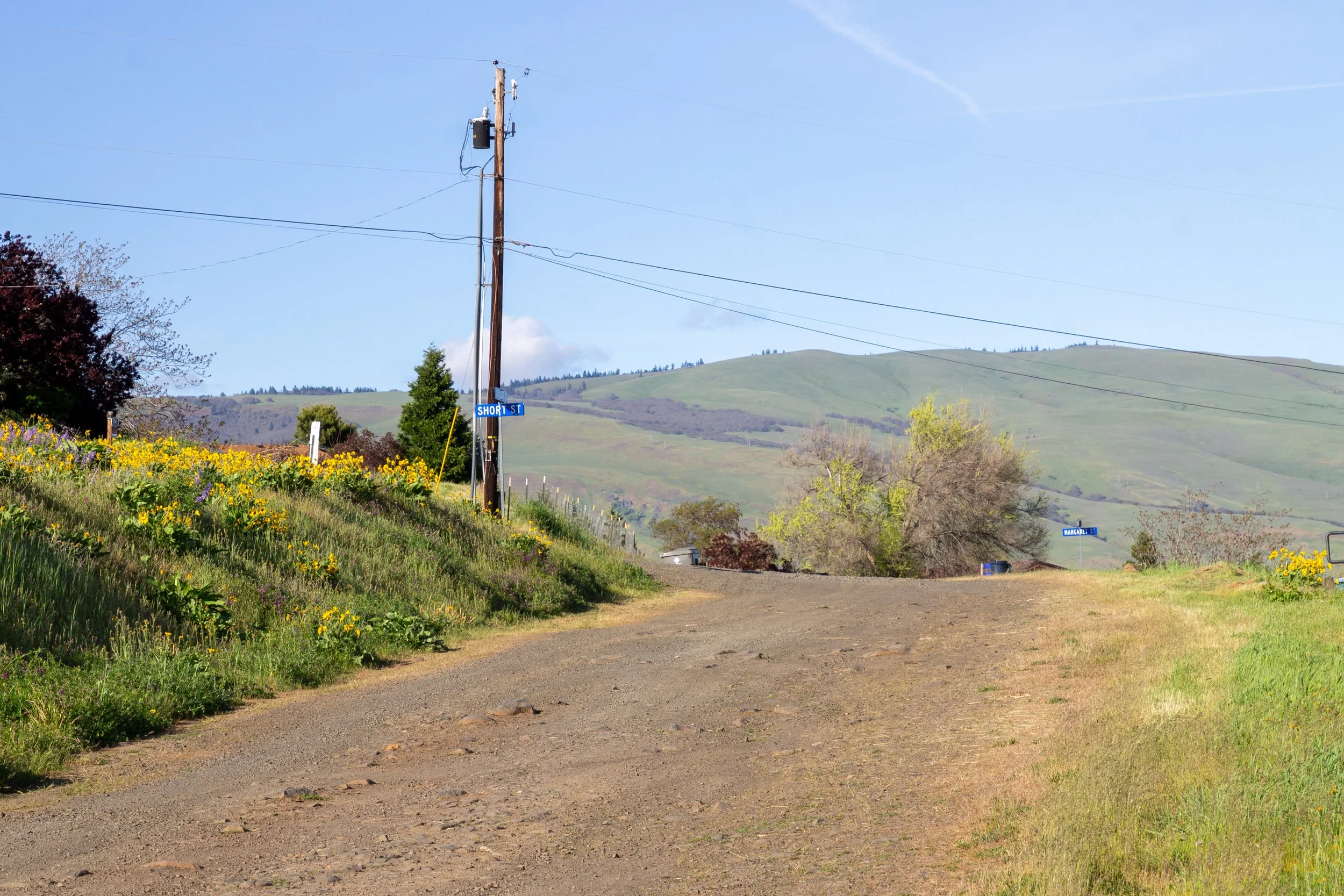
Park here, along Starlight Dr
Parking for Four Sisters Natural Area is on Starlight Dr at the intersection with Short St. Park along the grassy shoulder on Starlight Dr. Don’t park on Short St.
Starlight Dr is very steep, unpaved, and partially washed out just before the parking area. The Honda Fit didn’t make it up the hill, so I parked a few blocks away on Starlight Dr and walked up.
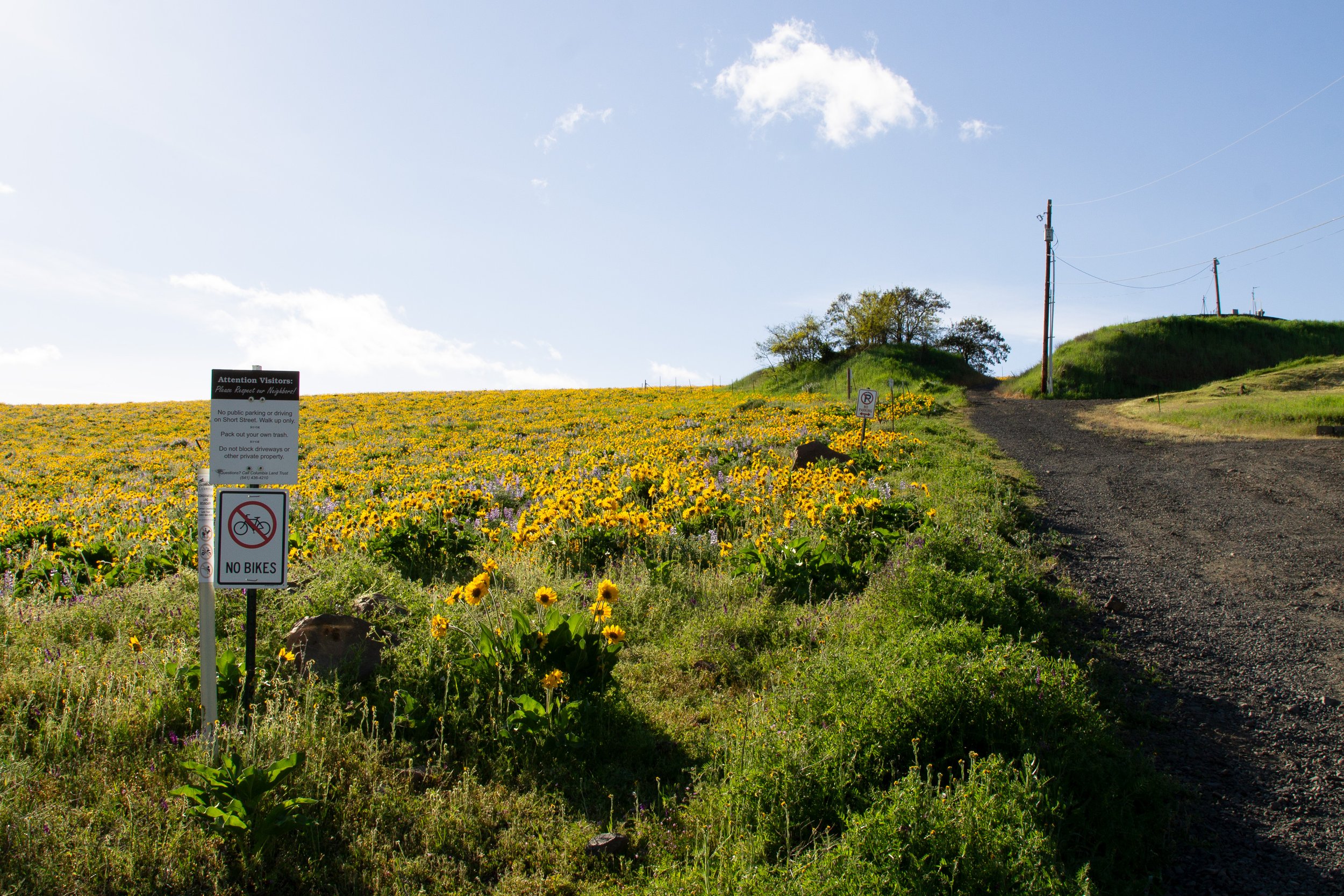
Short St
Once you’ve parked, walk up Short St and look for the faint trail by the sign with info and maps. It’ll be on your left, before you reach the water tank at the end of the street.
Hiking at Four Sisters
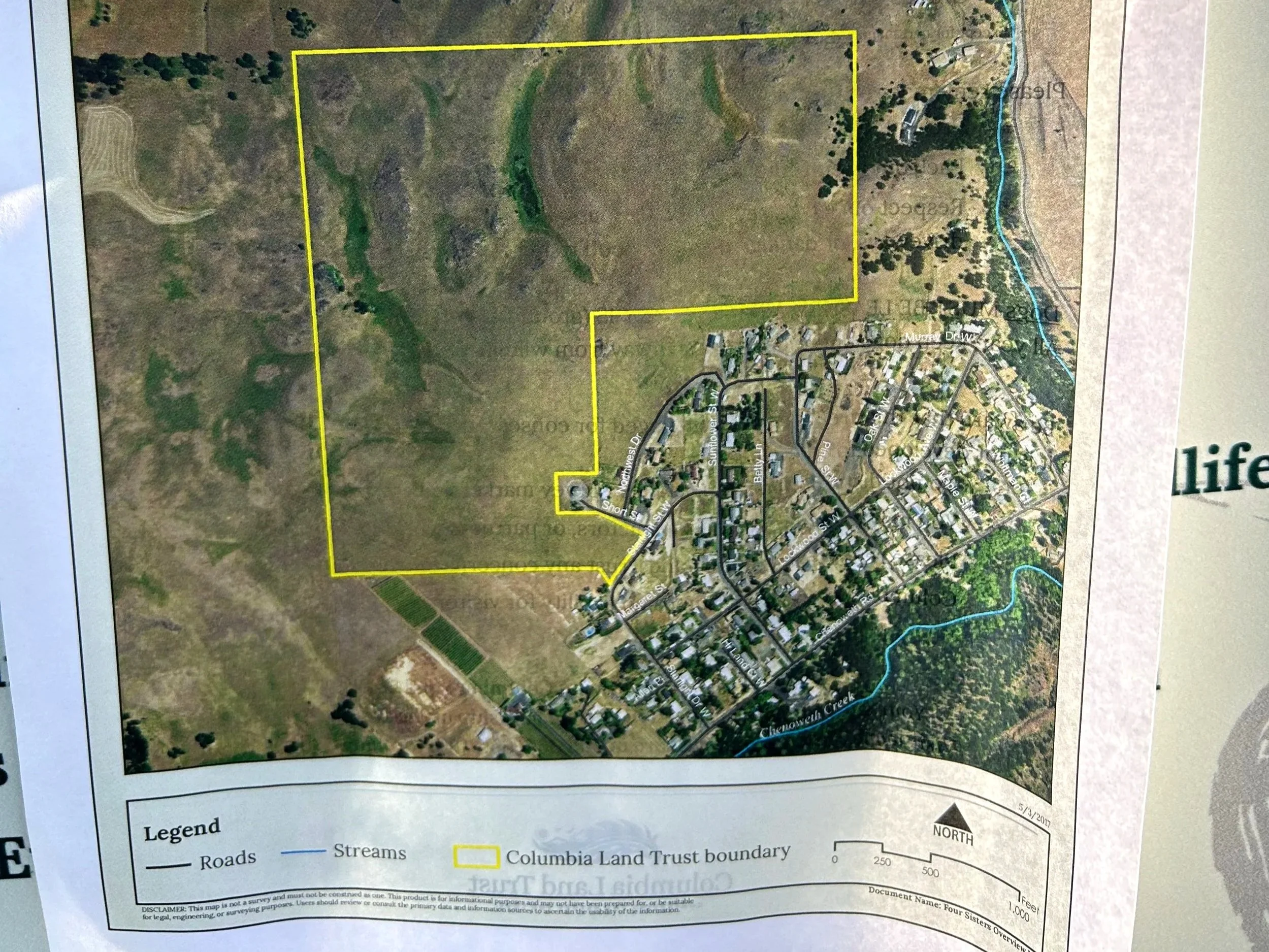
Maps at the trailhead show the property boundaries
Before visiting, I saw conflicting information online about whether Four Sisters Natural Area is a hiking destination. The answer is yes and no. You can hike, but there isn’t much of a trail. The sign at the entrance has maps that show the boundaries of the area open to the public.
Once you enter the natural area, there’s a short, T-shaped trail that’s well defined. It’s about 0.5 miles total. AllTrails doesn’t have a hiking route, but it does mark the trails on its maps.
Oregon Hikers has a hiking route that circles the perimeter of the natural area, about 2 miles total. This one takes you off the trail.
Make sure to avoid crossing any fences onto private property when you visit. When you can, walk on informal trails to limit the impact on the land.
The sort of trails at Four Sisters
Start here
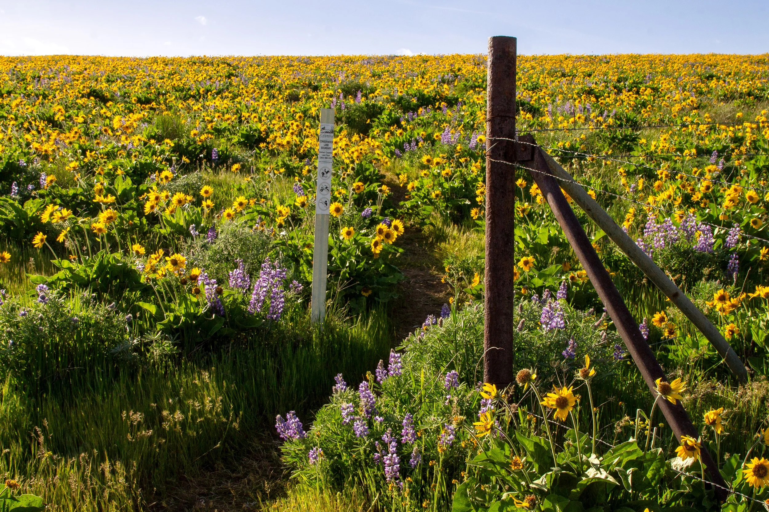
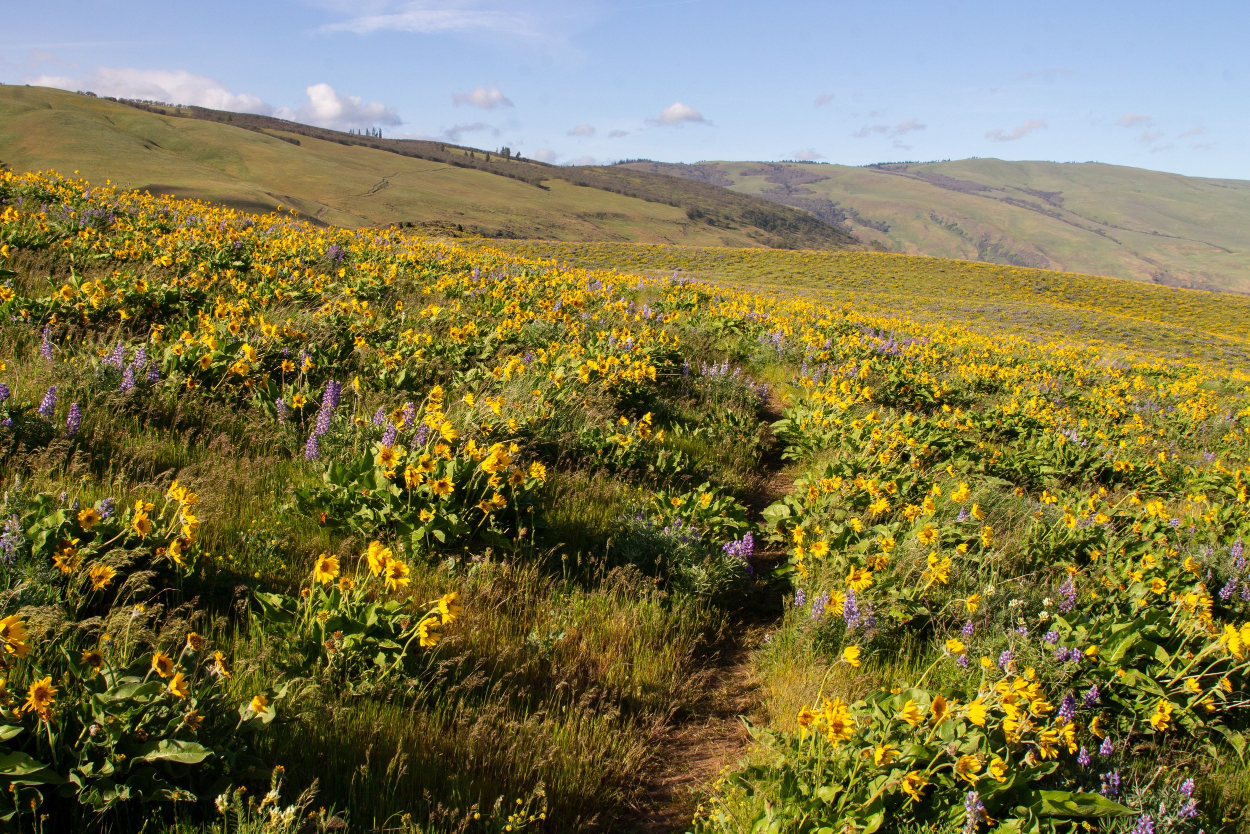
Starting at the Columbia Land Trust sign in the field next to Short St, you’ll see the beginning of a faint dirt trail heading uphill. One of the great things about Four Sisters Natural Area is that you’re in the thick of the wildflowers right away. Balsamroot and lupines cover the hillsides around the trail. Meadowlarks call and swoop.
A faint trail leads uphill
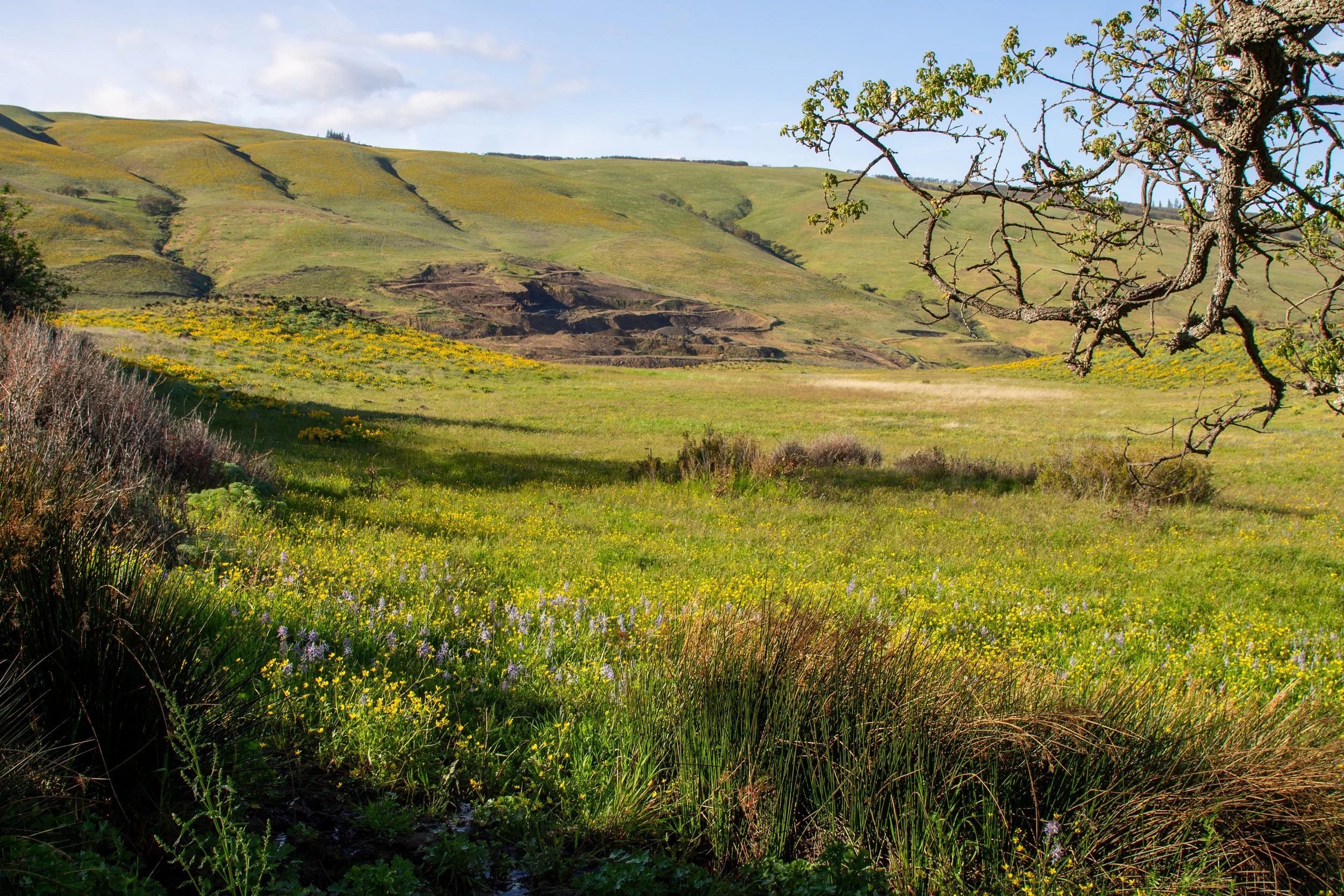
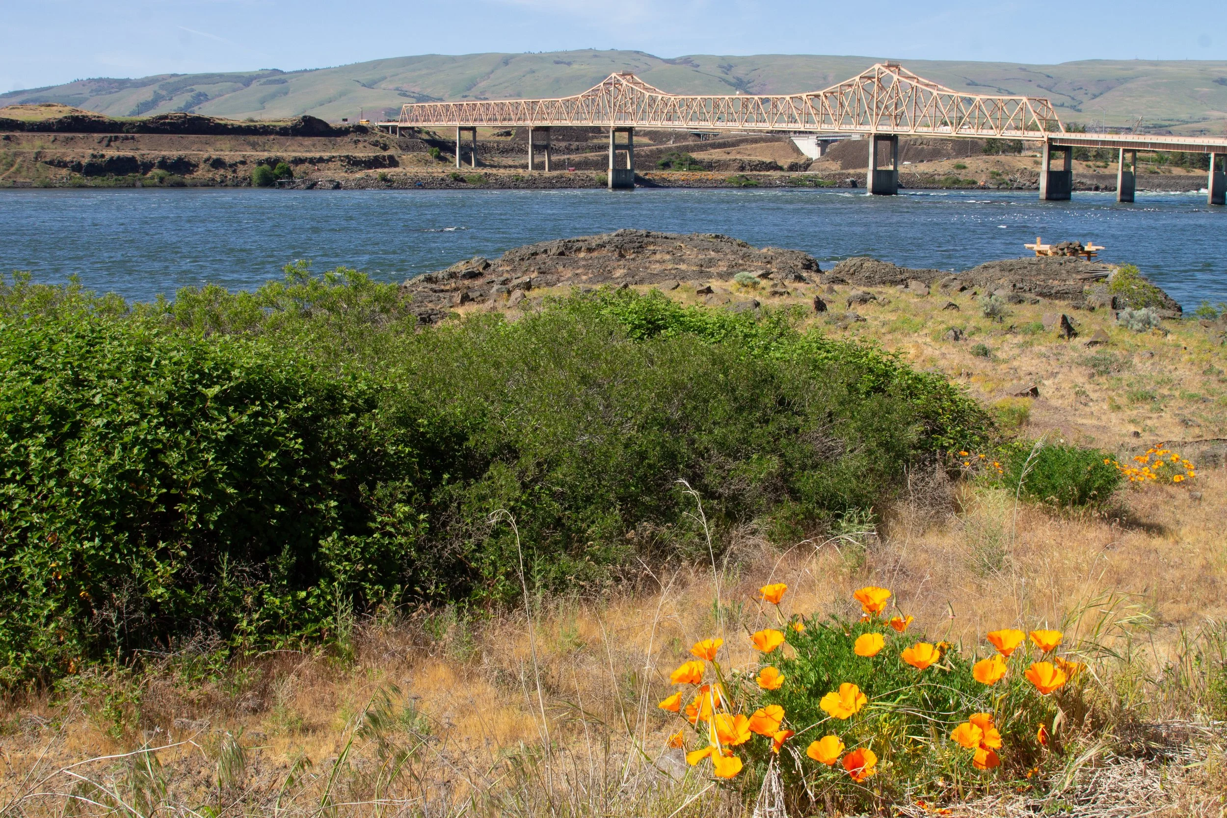
As you climb the hill, you start to lose sight of the residential neighborhood. Chenowith Tableland is the plateau to the east. Behind it is a glimpse of The Dalles and Columbia Hills in Washington.
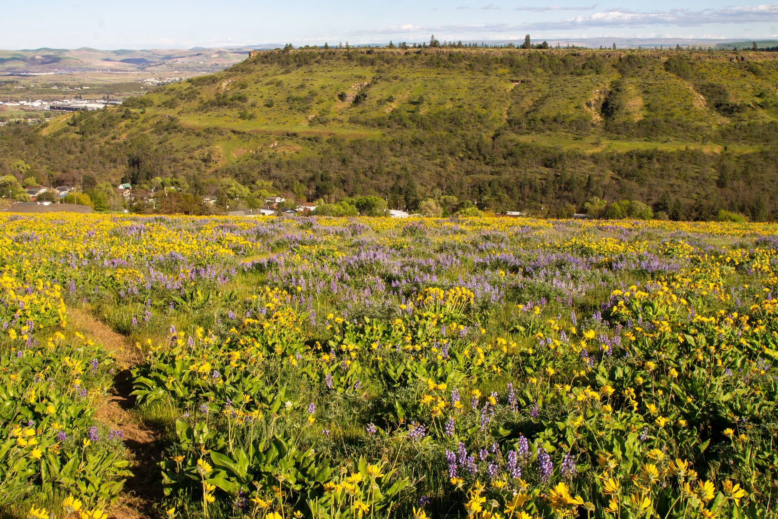
Lupines and balsamroot are looking great in mid-April
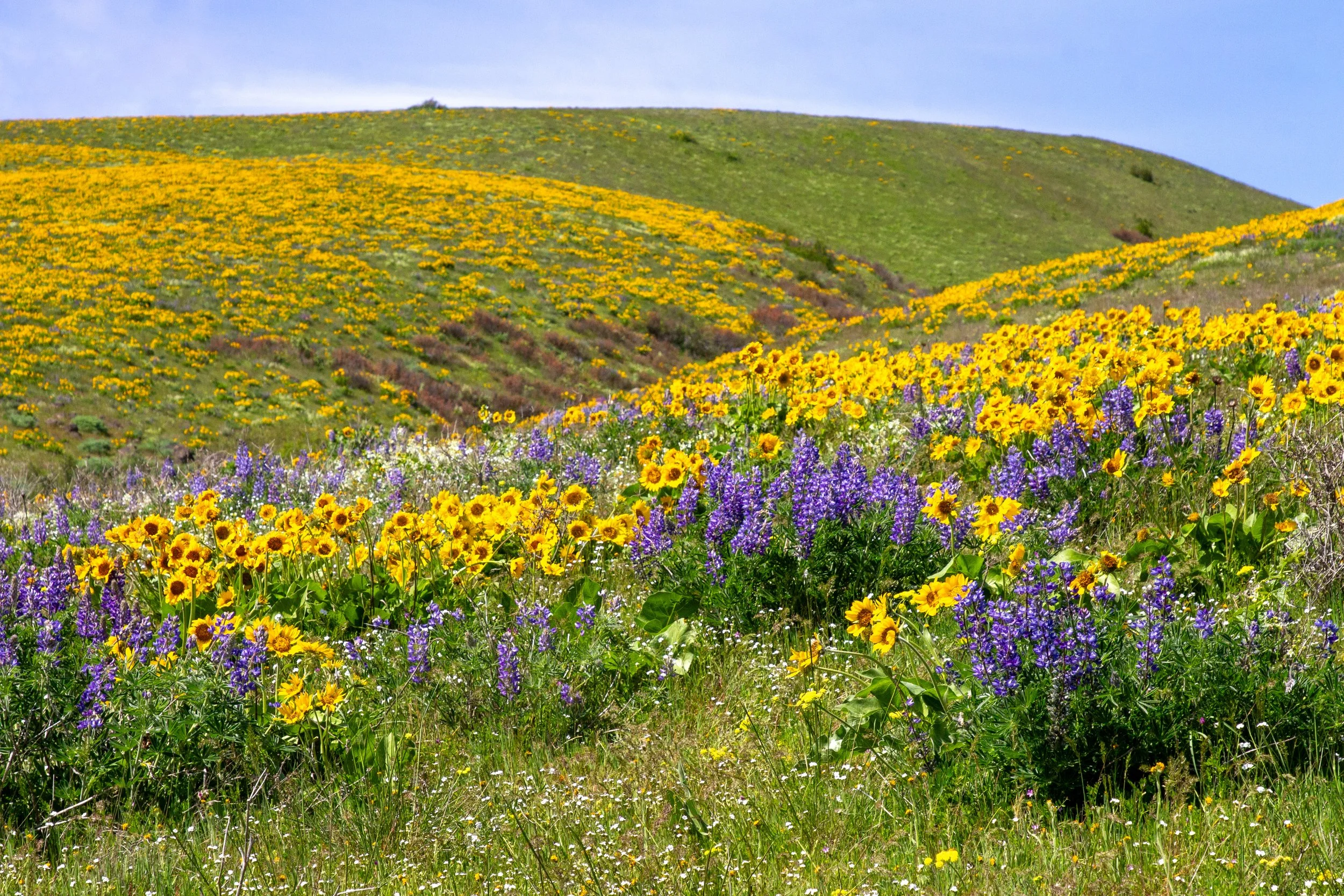
After about a quarter mile, the trail splits into two short spurs, each about 0.2 miles long. Both directions have wildflowers galore.
Spur trail to the right
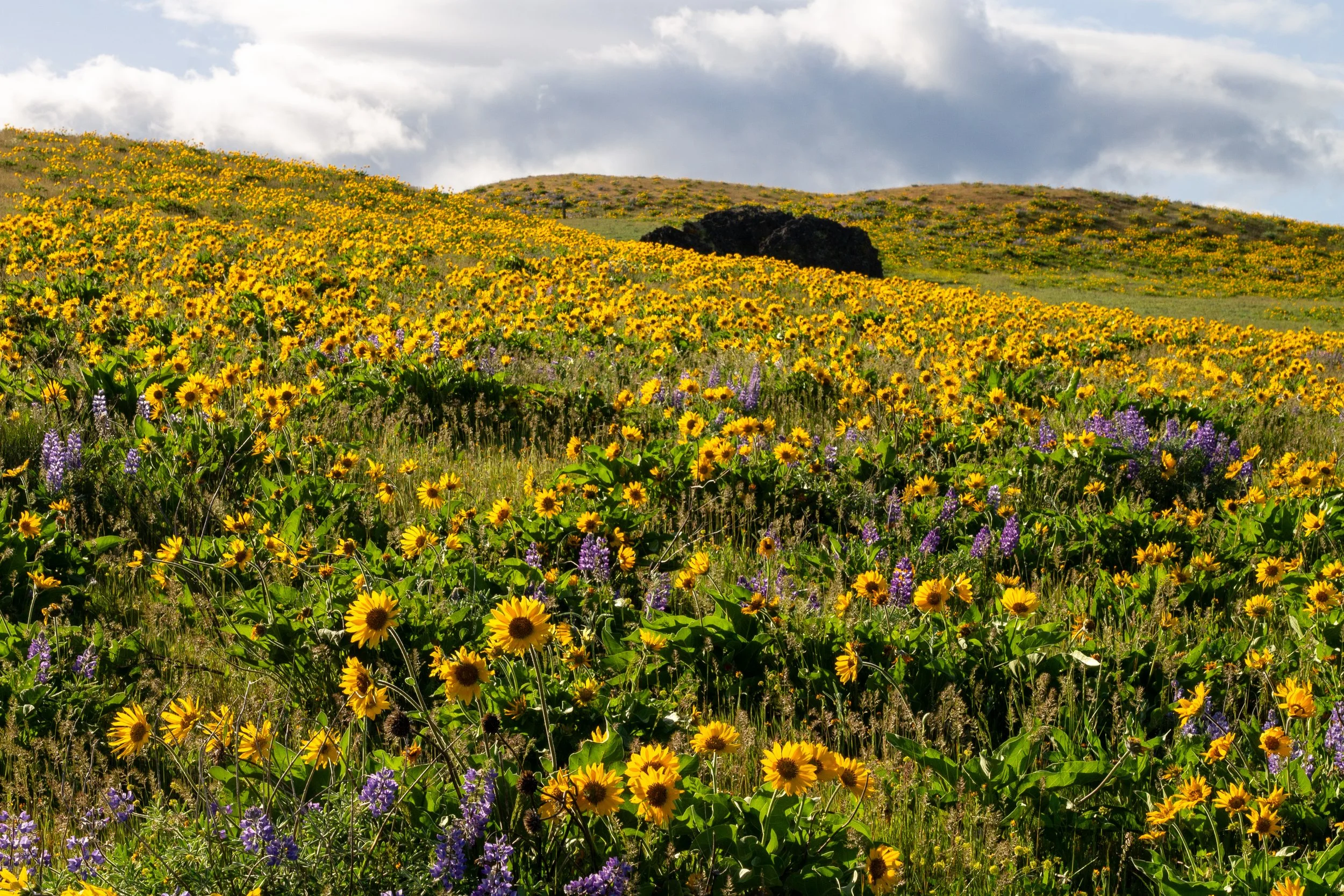
We’ll head to the right first. Balsamroot and lupines surround the trail, gradually dwindling as you go. You’ll pass cool glacial erratics on the yellow hillside.
Four Sisters Natural Area
You’ll lose the balsamroot in this direction in about 0.1 miles. Camas and buttercups take their place.
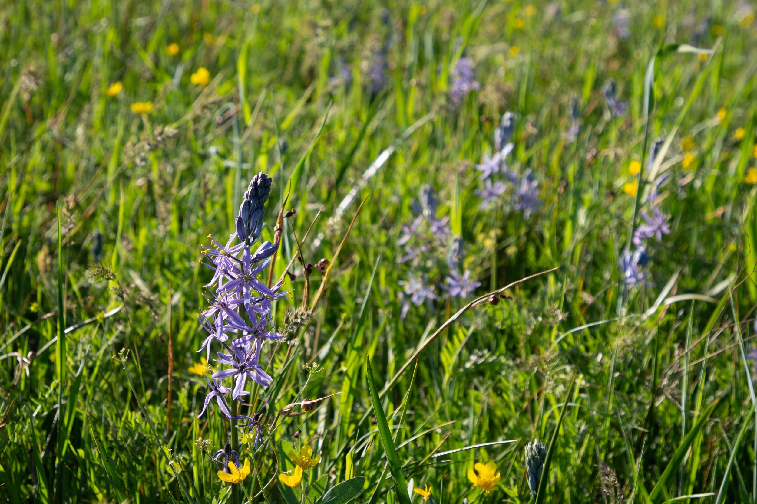
Camas
As promised on AllTrails, the trail peters out around an oak thicket. We’ll head back to see the other direction.
Where I lost the trail
If you head back to where the trail splits and take the other spur, you’ll soon see Mount Hood’s summit above the hills. The dirt trail ends at a fence, one of the boundaries for Four Sisters Natural Area.
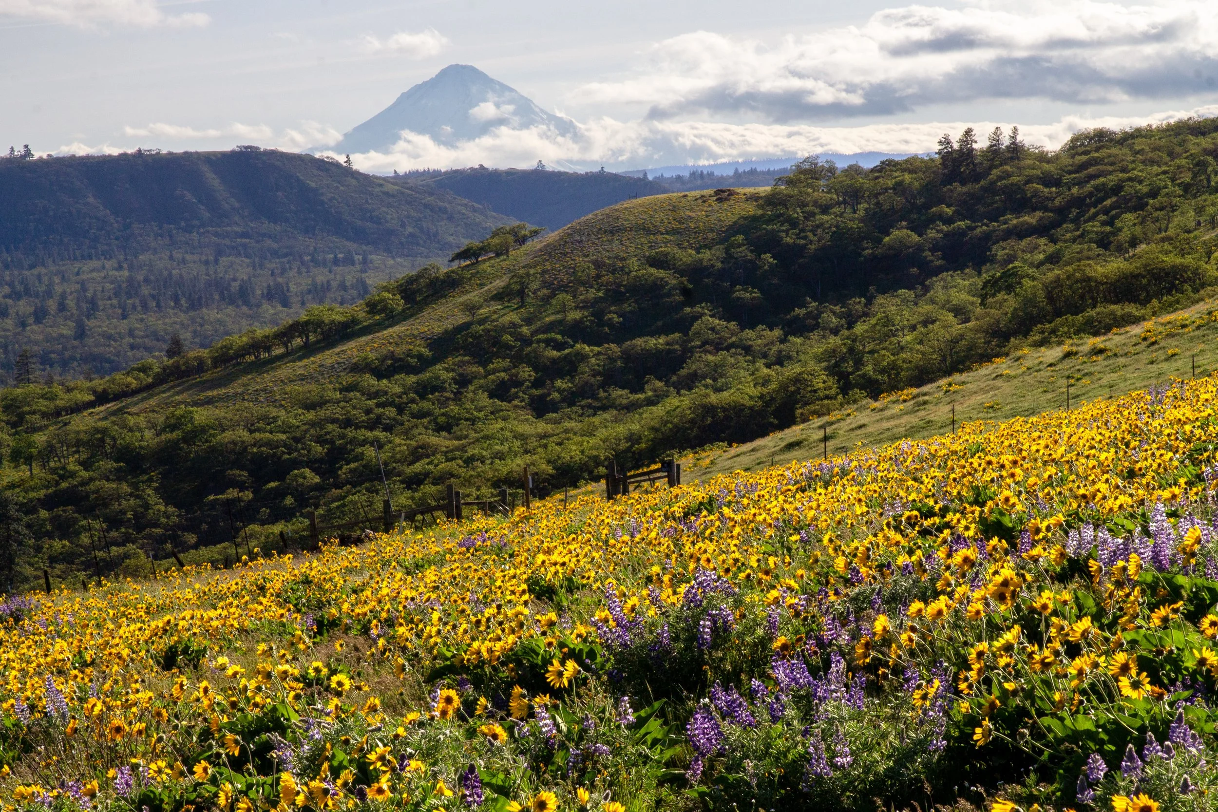
Look for Mount Hood views on the west side of Four Sisters
I turned around at the fence. For someone with my sense of direction (none whatsoever), venturing off trail is perhaps ill-advised, and I worry about stepping on flowers. If you want to keep exploring, you can turn right at the fence and follow it uphill to continue on the route described in Oregon Hikers. Along the way are views of Sevenmile Hill and a few small vernal pools.
Getting there
Navigate to: 1163 Starlight Dr W, The Dalles, OR 97058
Coming from Portland, take I-84 E to Exit 82 in The Dalles. At the end of the ramp, take a slight right, then an immediate left onto US 30 E. In 0.3 miles, turn right onto Chenowith Loop Rd. Then, in 0.6 miles, turn right onto W 10th St. In 0.2 miles, it becomes Chenowith Rd. Continue for 1 mile, then turn onto Starlight Dr W. Four Sisters Natural Area is at the top of the hill, in 0.2 miles. Park on Starlight Dr.
The drive from Portland takes about 90 minutes.
Enjoy your visit to Four Sisters Natural Area!
With love,
Emma
Explore nearby
Find more incredible wildflowers at Sevenmile Hill, a short but steep hike only 5 minutes away from Four Sisters Natural Area.
Check out the best wildflower hikes in the Columbia Gorge.
Find the best things to do in The Dalles.