

Portland’s Magnificent Elk Rock Island


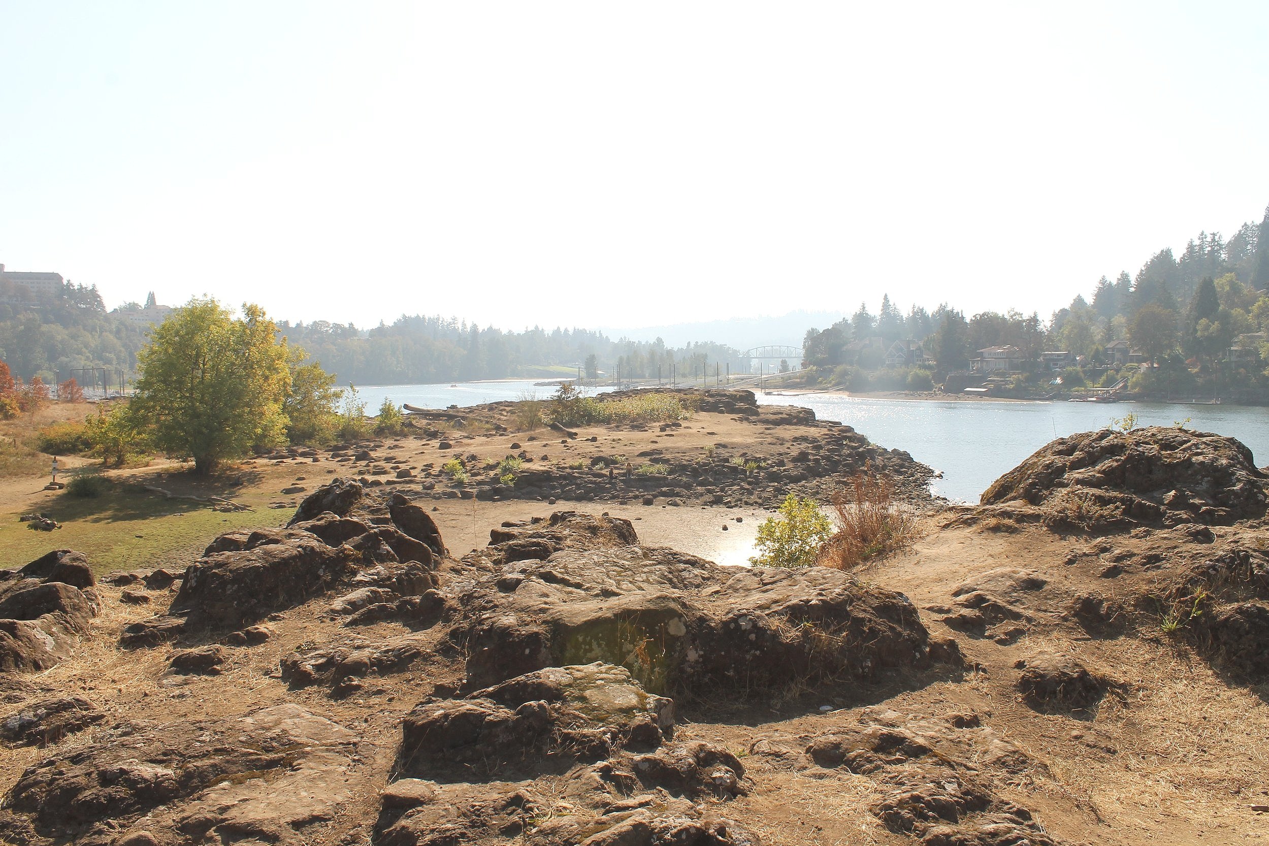
Land bridge to Elk Rock Island
Somehow I managed to live in Portland for years before learning about Elk Rock Island, one of the area’s coolest geologic features. Just south of the city in the town of Milwaukee, Oregon, Elk Rock Island is a hidden gem that makes for an easy excursion into nature, even if you’re planning at the last minute. When water levels are low in the Willamette River, a land bridge extends from shore to make the island accessible on foot. Here is everything you need to know about visiting Elk Rock Island.
Elk Rock Island and the Willamette River
Geology of Elk Rock Island
Elk Rock Island contains some of Portland’s oldest exposed rock. Most of the rocks you will find in and around the city are younger than 20 million years old, coming from Columbia River deposits, basalts and cinder cones of the Boring Volcanics, or lava flows of the Columbia River Basalt Group.
Elk Rock Island has significantly older exposed rocks known as the Waverly Heights Basalt, dating from around 40 million years ago. These rocks have been compared to the basalts of the Tillamook Volcanics on the Oregon Coast. Look for Waverly Heights Basalt on Elk Rock Island and its neighboring Spring Park Natural Area.

Asters bloom near Elk Rock Island
Plants and animals
Elk Rock Island supports a surprising diversity of plant and animal life, including some rare plant species. In total, there are 7 habitat types you can see there:
Basalt Floodplain.
Emergent Wetland (area between permanently wet and dry environments).
Mesic Upland Forest (forest requiring medium amounts of water rather than very wet or dry conditions).
Riparian (riverbank or lakeshore).
Rock Face.
Willamette Valley Grassland.
Xeric Upland Forest (forest that can tolerate some dry conditions).
These varied habitats allow for an abundance of animal life including birds, mammals, reptiles, and amphibians. Dozens of bird species have been seen around Elk Rock Island, including bald eagles, killdeer, geese, gulls, and a variety of songbirds.
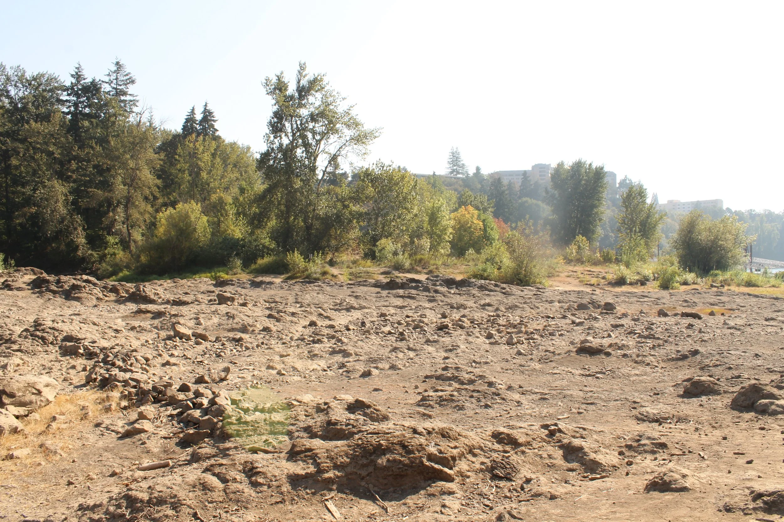
One of the most specialized habitats of Elk Rock Island are the vernal pools that form on the rocky land bridge when river water levels drop. Look for invertebrate life in the pools when they’re present.
Rocky land bridge to reach Elk Rock Island
Seasonal access to Elk Rock Island
Elk Rock Island is only accessible on foot during part of the year. When water levels in the Willamette River are high, the rocky land bridge connecting the island to the shore becomes submerged. You can usually walk to Elk Rock Island from spring to fall. Depending on the water level, the walk may be an easy, dry stroll over the rocky land bridge or it may have some pools and puddles to avoid.
The Willamette River has tides, which can change how easy it is to move to and from Elk Rock Island. If you are visiting at a time when river water levels are very low (like the current fall of 2022), go ahead and don’t worry about the tides. Otherwise, it’s a good idea to check out a tide table before you cross.
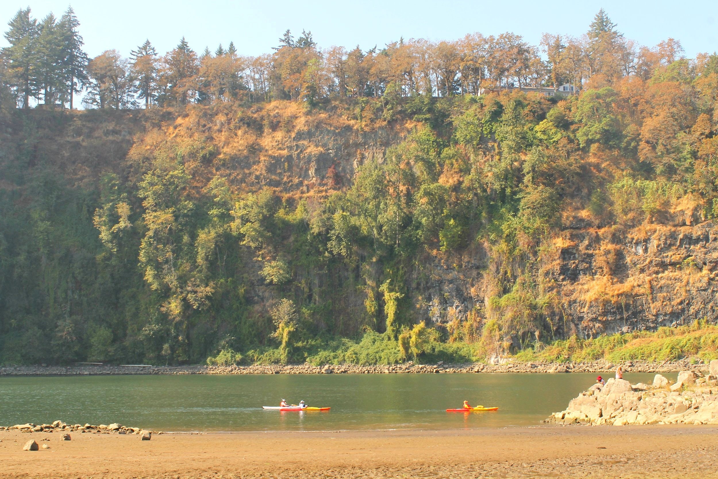
Cliffs of Elk Rock across the Willamette River
Hiking to Elk Rock Island
Distance: 1.3 miles
Elevation: 100 feet
Difficulty: Easy (when water levels are low)
Pass required: None. Parking is available in the neighborhood streets around the Spring Park Natural Area trailhead.
Dog-friendly: Yes, leashed dogs are allowed.
Amenities: Restroom (port-a-potty), picnic area, and playground at the trailhead.
To reach Elk Rock Island, begin at Spring Park Natural Area. At the park entrance, you’ll see a small grassy area with a paved path, a playground, and a picnic area. Past the playground, a sign marks the trailhead down to Elk Rock Island and a crushed gravel trail descends into a forest of cottonwood and alder. You’ll cross a short boardwalk and pass an overlook area on the trail.
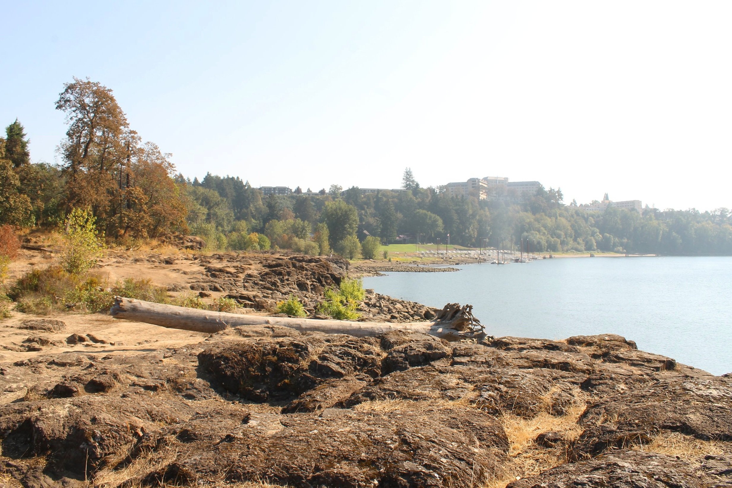
After about a half mile, you’ll reach the land bridge out to Elk Rock Island if the water level is low enough. The land bridge is an open rocky expanse of ancient basalt. Look for vernal pools on your way out to the island. From here, the trail winds around Elk Rock Island. It becomes indistinct at times and requires some clambering over rocks, but you can’t get lost. There are a couple of small beach areas on the north and west sides of the island when water levels are low. Across the Willamette River, you’ll see the dramatic cliffs of Elk Rock.
As you’re following the trail that circles Elk Rock Island, you’ll find several paths that will take you up onto it. These trails are short, easy, and shaded by Doug fir, white oak, and maple trees. Look for snowberry bushes, salal, and Oregon grape in the undergrowth. Watch out for poison oak while you’re there. When you’re ready to go, cross back over the land bridge and return through Spring Park Natural Area.

Trail around Elk Rock Island
Getting there and parking
The trail to Elk Rock Island begins at Spring Park Natural Area in Milwaukee:
2001 SE Sparrow St, Milwaukie, OR 97222
From Portland, take 99 South until SE 22nd Ave, then take a right. After a few blocks, turn right again onto SE Sparrow St. Spring Park will be at the end of the street. The drive from Portland takes about 15-20 minutes.
There is no parking lot specifically for Spring Park, but unmetered neighborhood street parking is available near the park entrance. There are some blocks where parking is not allowed on one or both sides of the street, so make sure to check for signs.
Alternatively, you can get close to Spring Park Natural Area by taking the Max. Take the Orange Line until the Milwaukee/Main St stop. It is a 15-minute walk from the Max stop to reach Spring Park.
Eastern bank of the Willamette River
Enjoy your trip to Elk Rock Island!
With love,
Emma
Looking for more to do in the area? Check out these attractions in and around Portland:
References:
Miller, Marli Bryant. Roadside Geology of Oregon. Missoula, Montana: Mountain Press Publishing Company, 2014.
Portland Parks and Recreation. Elk Rock Island Natural Area Management Plan, 1995. https://www.milwaukieoregon.gov/sites/default/files/fileattachments/planning/page/42831/elk_rock_island_mp.pdf