

Burnt Lake Hike


Burnt Lake has all the makings of a great day hike. A gently graded trail heads through a mature forest where moss carpets the ground. Wildflowers bloom in the undergrowth in summer. Seeing Mount Hood’s reflection on the peaceful mountain lake is the perfect finale, much-needed stress relief after navigating the rough road to the trailhead. For whatever reason, my bum leg has been tolerating longer hiking distances, and this trail is one I hadn’t been able to tackle until recently. Here’s what to expect on the Burnt Lake Trail.

Burnt Lake
Know before you go
Parking at the Burnt Lake Trailhead normally requires the NW Forest Pass or America the Beautiful Pass ($5/day). Buy one ahead of time. You can’t buy one once you’re there. When I visited, the US Forest Service had temporarily stopped fees due to a reduction in services.
The parking lot for the Burnt Lake Trail is small. It was almost empty during my October visit, but consider arriving early on summer weekends.
The trailhead doesn’t have restrooms. The Lost Creek Campground has vault toilets, which you’ll pass on the way.
The road to the Burnt Lake Trailhead is terrible. You can make it in a low-clearance vehicle. It’s just very unpleasant. I went in the Honda Fit. I parked in a large pullout about a quarter mile from the trailhead when I reached large puddles of unknown depth from a recent rainstorm. I would have driven to the end in drier conditions.
Leashed dogs are welcome on the Burnt Lake Trail.
This hike isn’t great for younger kids. It has some rocky terrain and a short section close to drop-offs. It would be okay with older kids.
Camping isn’t allowed within a half mile of Burnt Lake.

Road to the trailhead
On the Burnt Lake Trail
Distance: 7 miles out and back
Elevation gain: 1,400 feet
Difficulty: Moderate
Pass required: NW Forest Pass or America the Beautiful Pass.
Dog friendly: Yes, leashed dogs are welcome on the trail.
ADA access: No
Season: May through October
The details
The Burnt Lake Trail #772 starts to the right of the large panel of signs. You’ll pass through a gap in the fence when you begin. Just ahead is a picnic table.
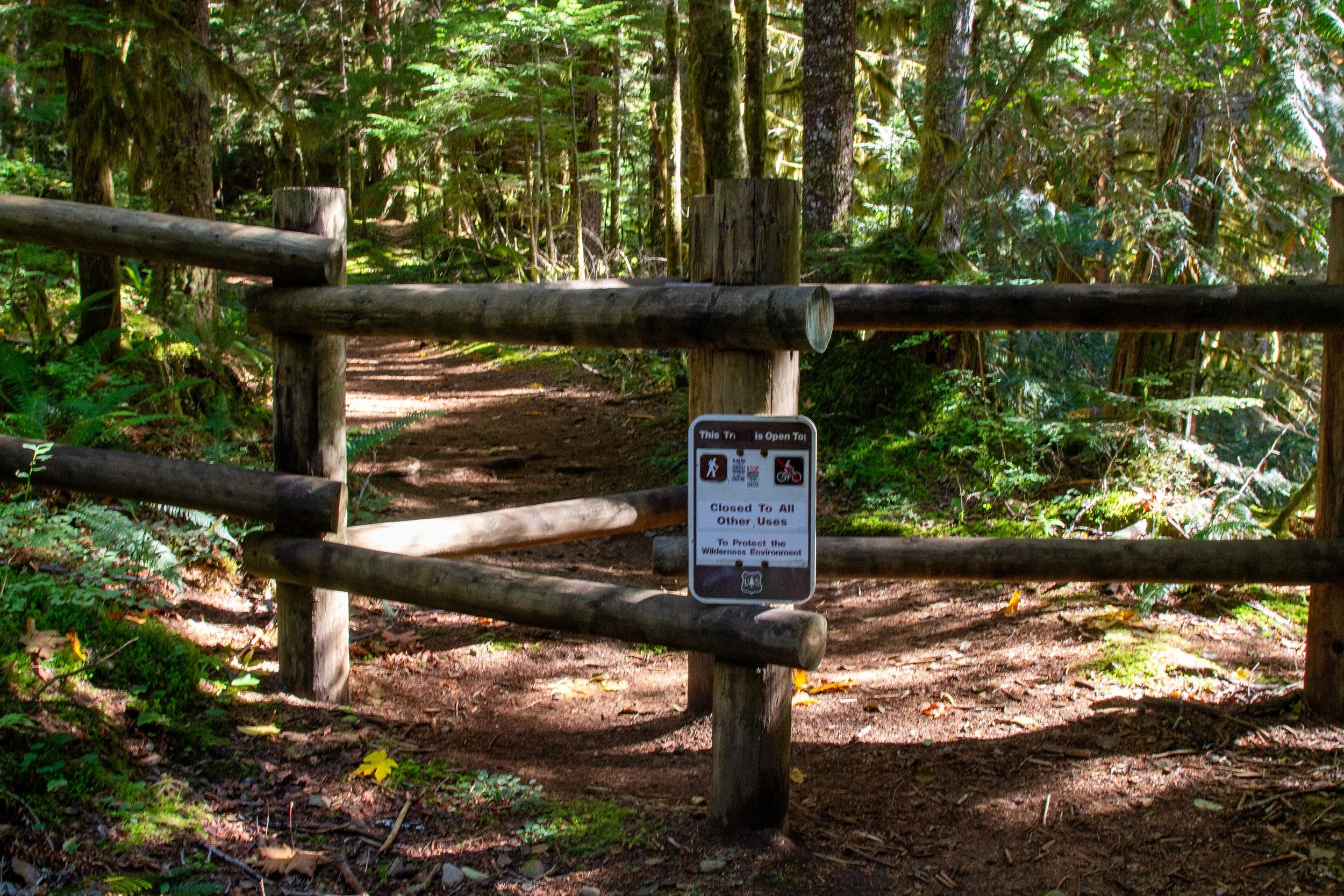
Start here
The well-maintained trail heads gradually uphill until you reach Burnt Lake. It never gets very steep. The forest here is a bit of a puzzle at first glance. The trees are too old to be regrowth from modern logging, but too young to be undisturbed. A fire burned this area at the beginning of the 20th century, giving Burnt Lake its name. You’ll see some massive scorched stumps along the trail, much larger than the living trees.

Burnt Lake Trail
After having the AC on most of the drive to the trailhead, I was surprised by the chill through my jacket during the hike. It was probably 20 degrees colder than Rhododendron, with that harshness to the air that says winter is around the corner. Even on a sunny day, the dense canopy of hemlock, cedar, and Doug fir lets in little light. The mossy understory has many huckleberry bushes, though the fruit was long gone by October. Mushrooms had started popping up in abundance. Wood sorrel, bunchberry, and false Solomon’s seal mean some lovely wildflowers along the trail in late spring. Closer to Burnt Lake, you’ll start seeing some wild rhododendrons. Expect blooms around late June and July.
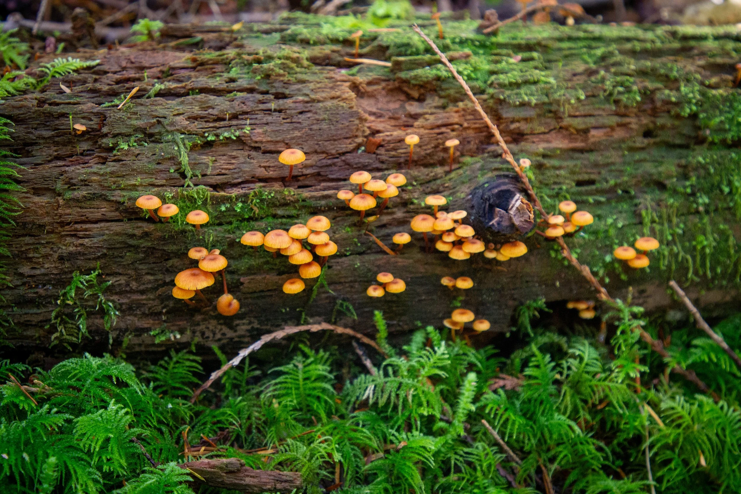
October is a great time to see mushrooms
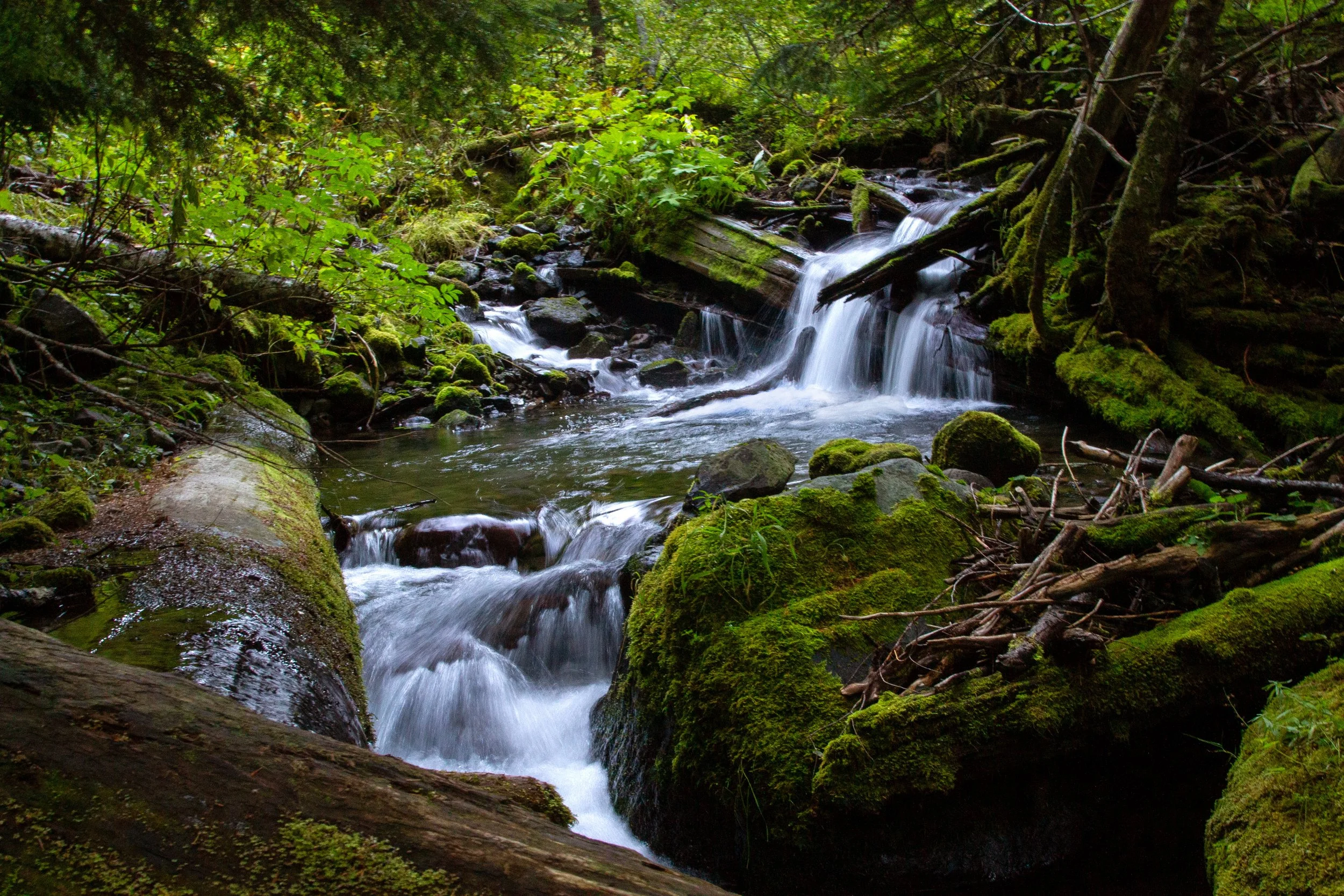
The beginning of the trail follows Burnt Lake Creek, which you can see from time to time through the tree cover. Large devil’s club leaves grow over the mossy banks.

Burnt Lake Creek
After about two miles, you’ll reach the first of several stream crossings, none of them challenging.
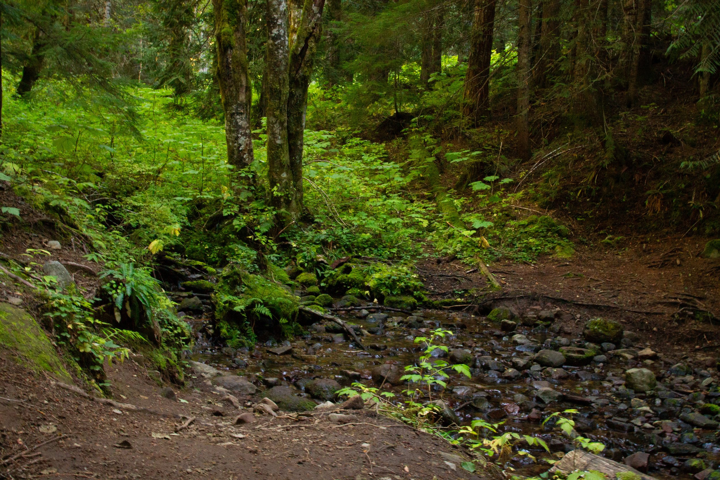
First of about four stream crossings
A little after the stream crossings, you’ll see a fork in the trail. The left fork is a spur that leads down to Lost Creek and, theoretically, Lost Creek Falls.

Trail to the left leads to Lost Creek
I don’t know, y’all, I looked for that waterfall. Like, way too hard. The spur trail heads downhill about 0.1 miles to Lost Creek, then stops. The map I had showed the waterfall upstream, which I can confidently say is wrong. What is upstream is a bunch of spiky devil’s club and rotting logs that collapse when you step on them. I’m thinking it must be downstream, but I was too tired of bushwhacking at that point to continue what felt like a fool’s errand.
Lost Creek
Back at the fork, keep right to head toward Burnt Lake. The trail rounds a corner and starts heading west. You’ve got about a mile to go at this point.

Burnt Lake Trail
You’ll get a couple of breaks in the trees that give you a glimpse of Mount Hood’s summit, a preview of what’s to come.
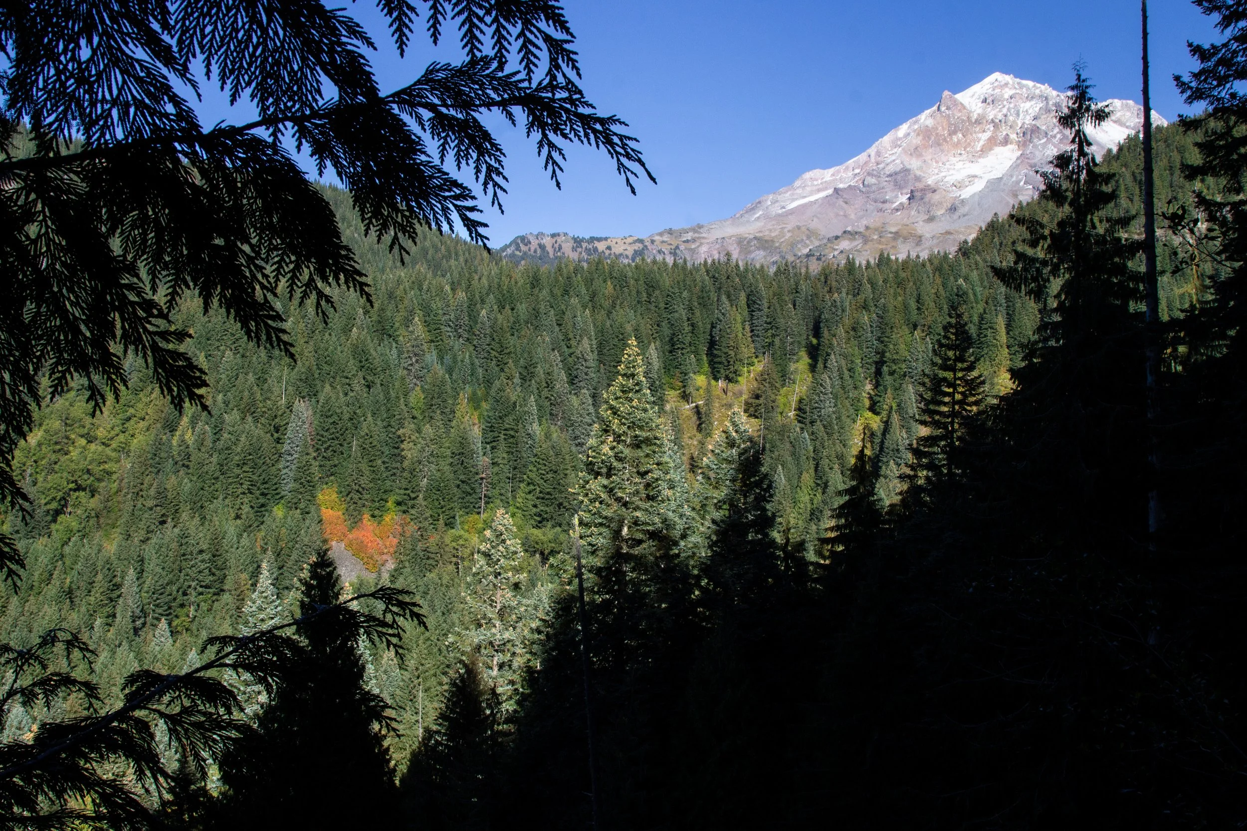
First Mount Hood sighting
After about 3.5 miles, you’ll arrive at Burnt Lake and the first flat ground of the hike. You don’t see Mount Hood right away. A derpy little trail makes a 0.3-mile loop around the lake. The quickest way to reach the mountain view is to head counterclockwise.

Burnt Lake
You can see Mount Hood from the west side of Burnt Lake. It’s about 0.1 miles after you reach the lakeshore. On a clear day without wind, the mountain makes a perfect reflection on the water’s glassy surface. Tree cover blocks most of the views from the trail, but you can get down to the muddy banks in a couple of places. Find a log to sit on, have a snack, and watch the dragonflies flit over the water.

Mount Hood and Burnt Lake
After seeing Burnt Lake, head back the way you came to return to the parking lot.
Enjoy your hike on the Burnt Lake Trail!
With love,
Emma
Getting there
To reach the Burnt Lake Trailhead from Portland, take Highway 26 E to the town of Zigzag. Turn left onto E Lolo Pass Rd. After 4.2 miles, turn right onto Muddy Fork Rd. In 0.7 miles, keep right to stay on Muddy Fork Rd. Continue for 3.2 miles until the trailhead. The last two miles of the road are unpaved with many large potholes. Bring a vehicle with decent clearance if you can.
The drive from Portland takes about 75 minutes.
Explore nearby

Check out the Ramona Falls hike.

Find the best short hikes near Mount Hood.