
Neahkahnie Mountain Hike
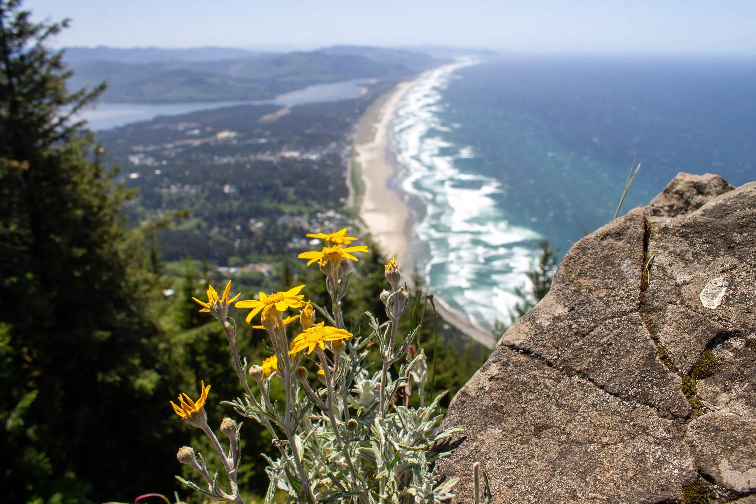
At 1680 feet, Neahkahnie Mountain is one of the highest points on the Oregon Coast, second only to Humbug Mountain. Two trails lead to the summit, one on each side of the mountain. The south trail is reasonable, well-maintained, and rewarding. The north trail is, let’s just say, another option. Whichever you take, breathtaking views await at the summit. Here’s how to hike up Neahkahnie Mountain.
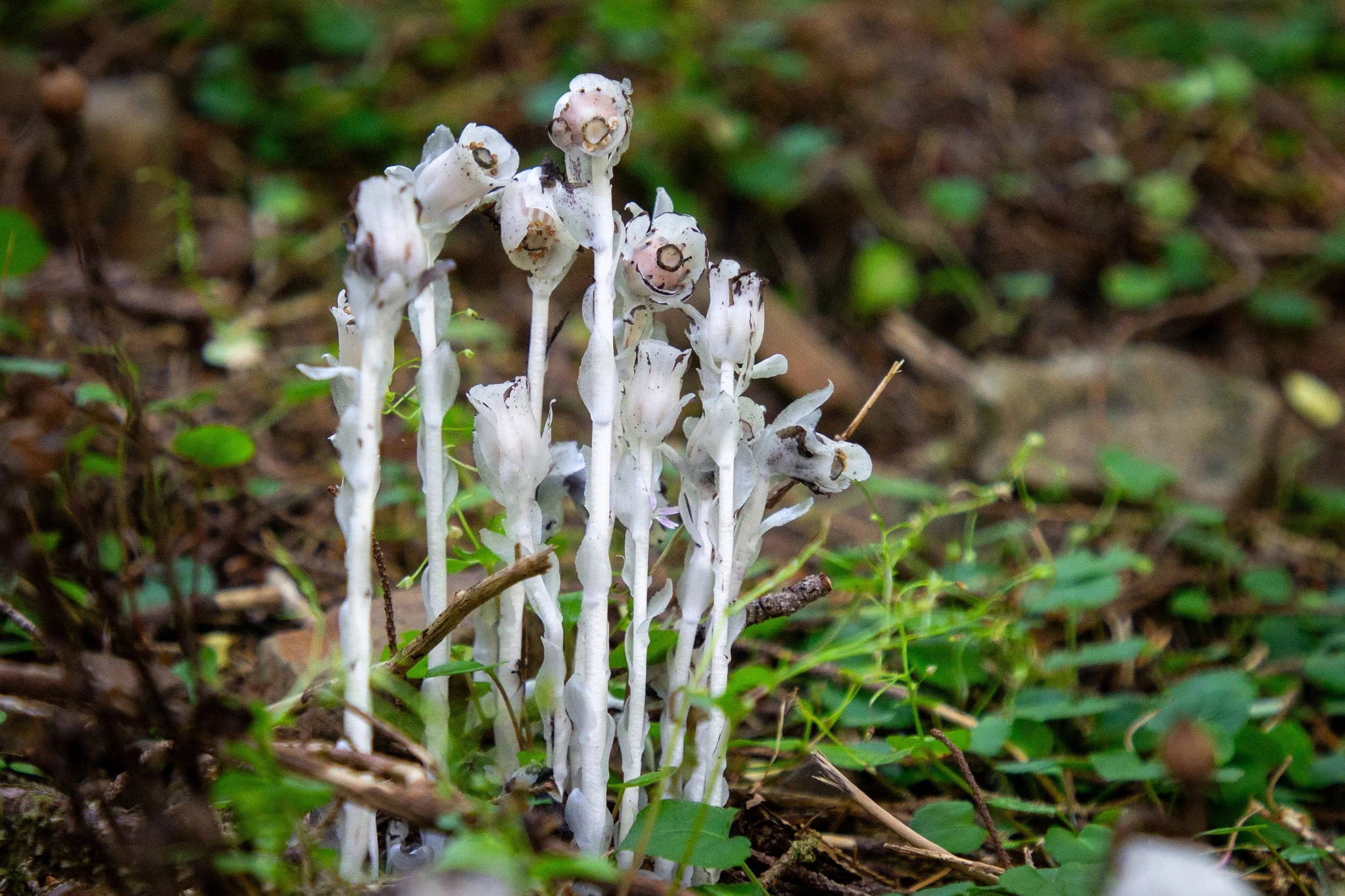
Ghost pipe on Neahkahnie Mountain
Hike versions
South Neahkahnie Mountain Trail (recommended): 3 miles, moderate, good trail conditions
North Neahkahnie Mountain Trail: 5 miles, hard, poor trail conditions
I’ve done both versions. I like the south version better, partly because it’s shorter and easier, but mostly because it’s in better shape. The north trail is overgrown for most of the way. The terrain is very uneven, with tons of rocks, roots, and eroded sections. I went during a dry time of year. It would be worse when it’s muddy. At one point, the dirt crumbled under my foot, and my knee broke the fall. Fortunately, just a bruise. Still though. If you love type 2 fun, the north trail has a couple of advantages. It’s less crowded, which is important since you won’t have room to walk past anyone. It also has views of Cape Falcon towards the beginning.
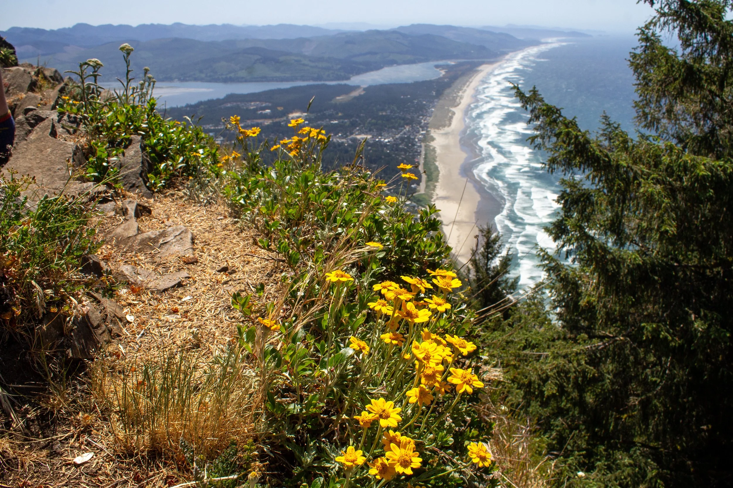
Neahkahnie Mountain summit
South Neahkahnie Mountain Trail
Distance: 3 miles out and back
Elevation gain: 900 feet
Difficulty: Moderate
Cost: Free
Dogs: Leashed dogs are welcome on the trail.
Kids: Younger kids might struggle with the uphill walking and some uneven terrain. Take care around the drop-offs at the top.
Start at: South Neahkahnie Mountain Trailhead
Amenities: Port-a-potty
The South Neahkahnie Mountain Trail makes a steady climb up switchbacks. The thimbleberries are a bit overgrown for the first 0.1 miles or so. After that, the trail is in good shape. It has some rocks and roots but nothing intense.
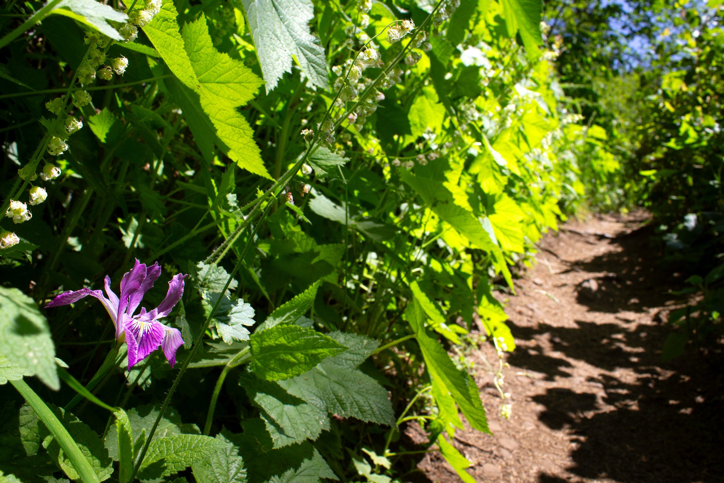
South Neahkahnie Mountain Trail
The hike stays in the forest until the summit. You’ll pass some big ol’ Sitka spruces on the way up. Wildflowers bloom from late spring into early summer. Around halfway, you’ll walk through a clearing with a view of Nehalem Bay, a preview of the vista at the summit. Keep going straight when you reach an old access road after about a mile. The trail levels a bit as you make your way along a ridge toward the summit. At the end, the South Neahkahnie Mountain Trail meets the north trail just before a root-heavy scramble to the summit.
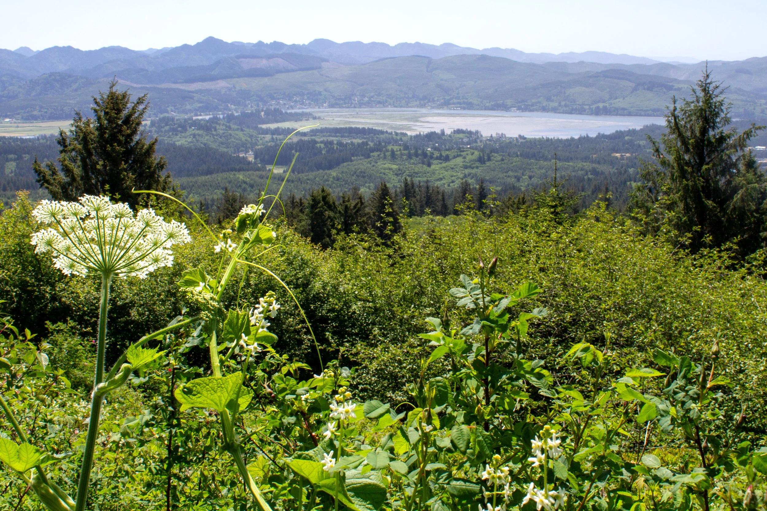
South Neahkahnie Mountain Trail
North Neahkahnie Mountain Trail
Distance: 5 miles out and back
Elevation gain: 1,300 feet
Difficulty: Hard
Cost: Free
Dogs: Leashed dogs are welcome on the trail.
Kids: I wouldn’t call this hike kid-friendly. It’s not even particularly adult-friendly.
Start at: North Neahkahnie Mountain Trailhead. The parking lot is shared with the Elk Flats Trail.
Amenities: None
Wear: Long pants, hiking boots, long-sleeved shirt.
From the parking lot, follow the sign pointing toward the Oregon Coast Trail. The north trailhead is across Highway 101. Cross carefully. There’s no crosswalk.
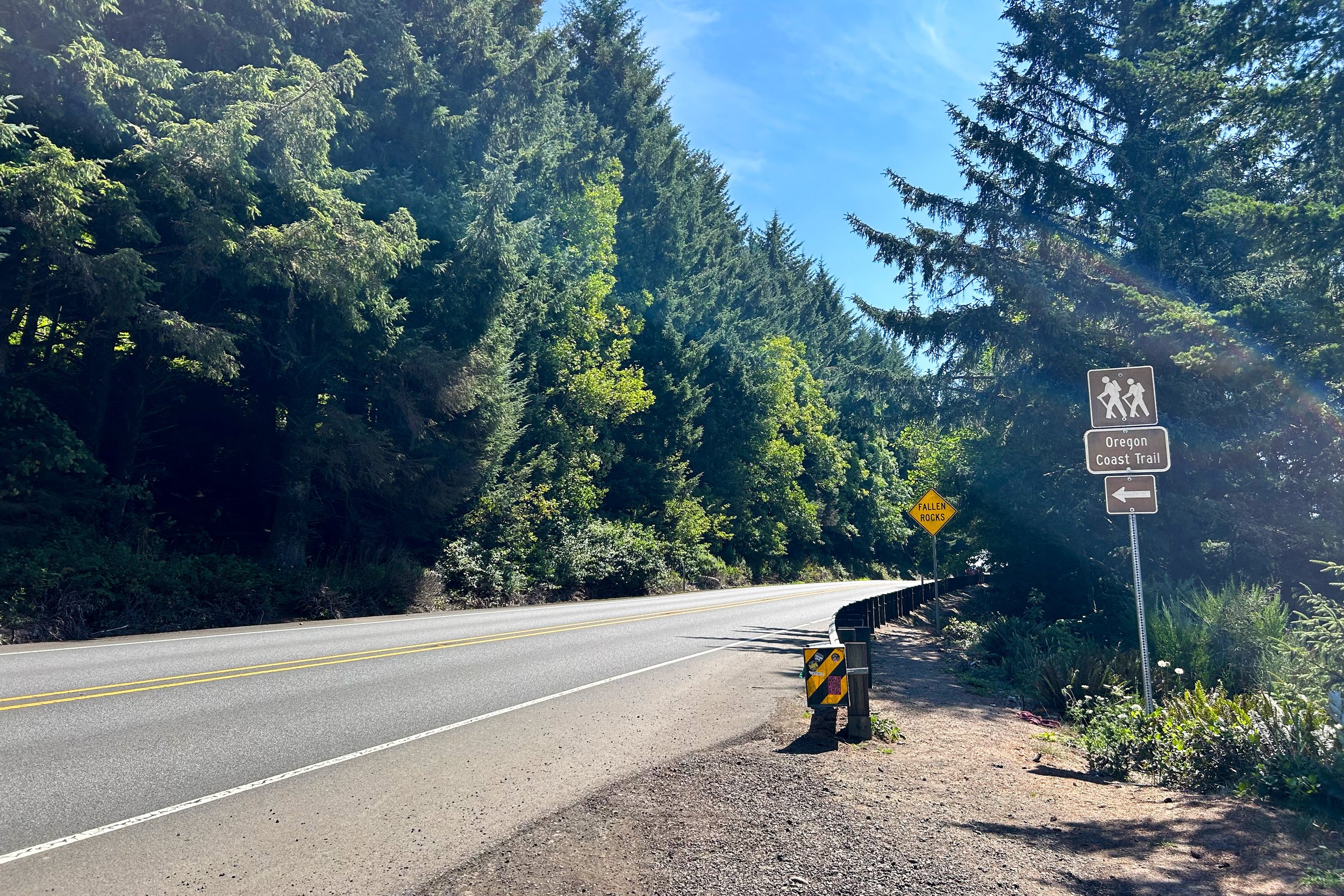
Cross here
The hike begins up switchbacks through dense brush. Watch for booby traps like eroded patches and exposed roots. The thimbleberries were gone when I went in mid-August, but I did catch the salal berries and the last of the wildflowers: foxgloves, pearly everlasting, yarrow, and Queen Anne’s lace. You’ll see Cape Falcon and a bit of the Devils Cauldron after about a quarter mile.
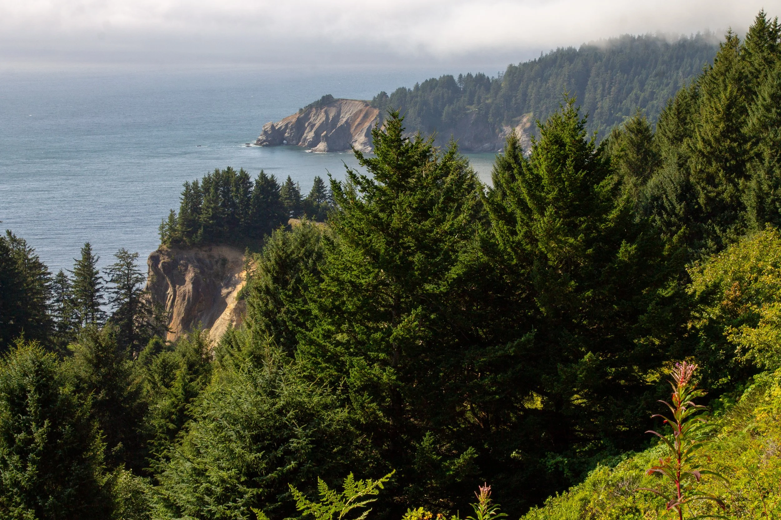
Devils Cauldron and Cape Falcon
In less than a mile, the trail enters the woods. The next great views will be at Neahkahnie Mountain’s summit. The forest is beautiful, with many giant Sitka spruces, hemlocks, and Doug firs.
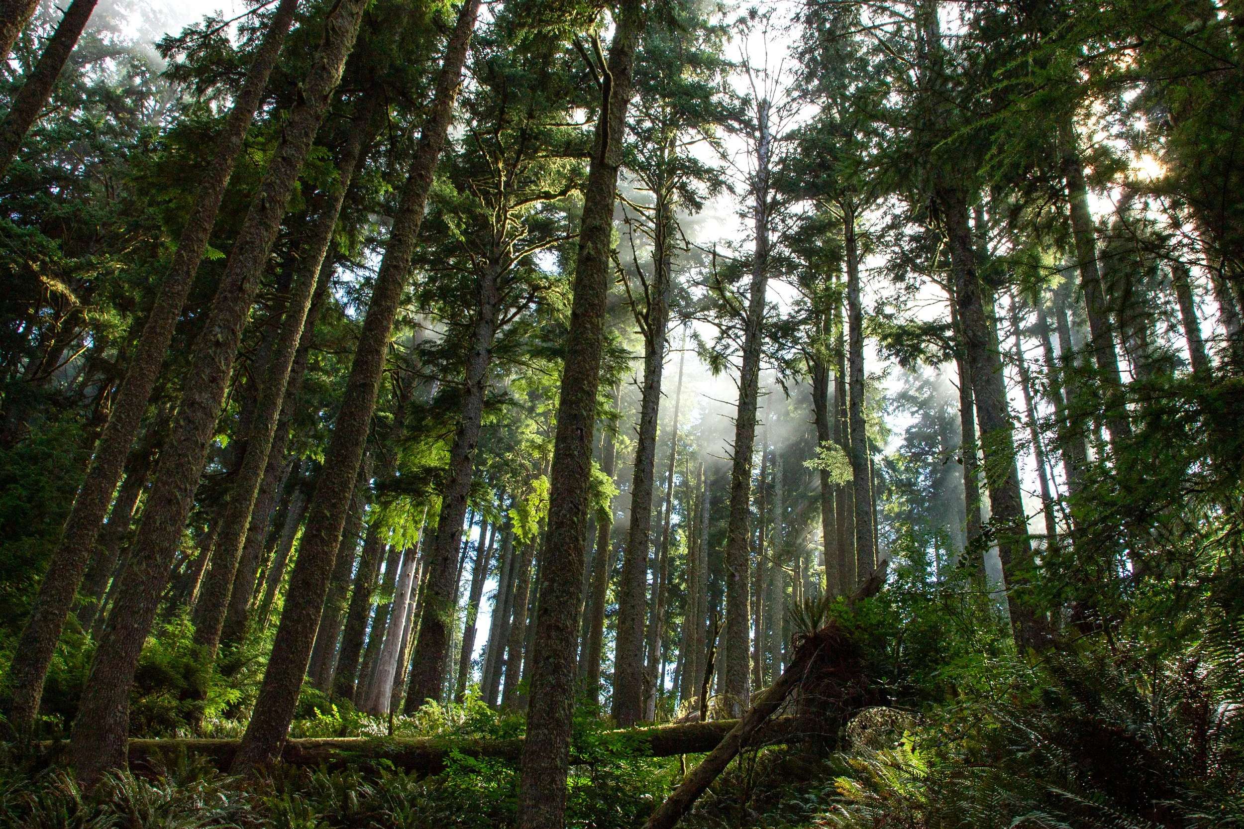
North Neahkahnie Mountain Trail
The undergrowth will be very much in your business. At times, I had my arms covering my face to push through the bramble. Watch your step. The rough terrain is pretty relentless. Your hands will probably need to get involved at some point. It’s more or less steadily uphill until the end. Just before the north and south trails merge, you’ll get a preview of the summit vista.
The summit
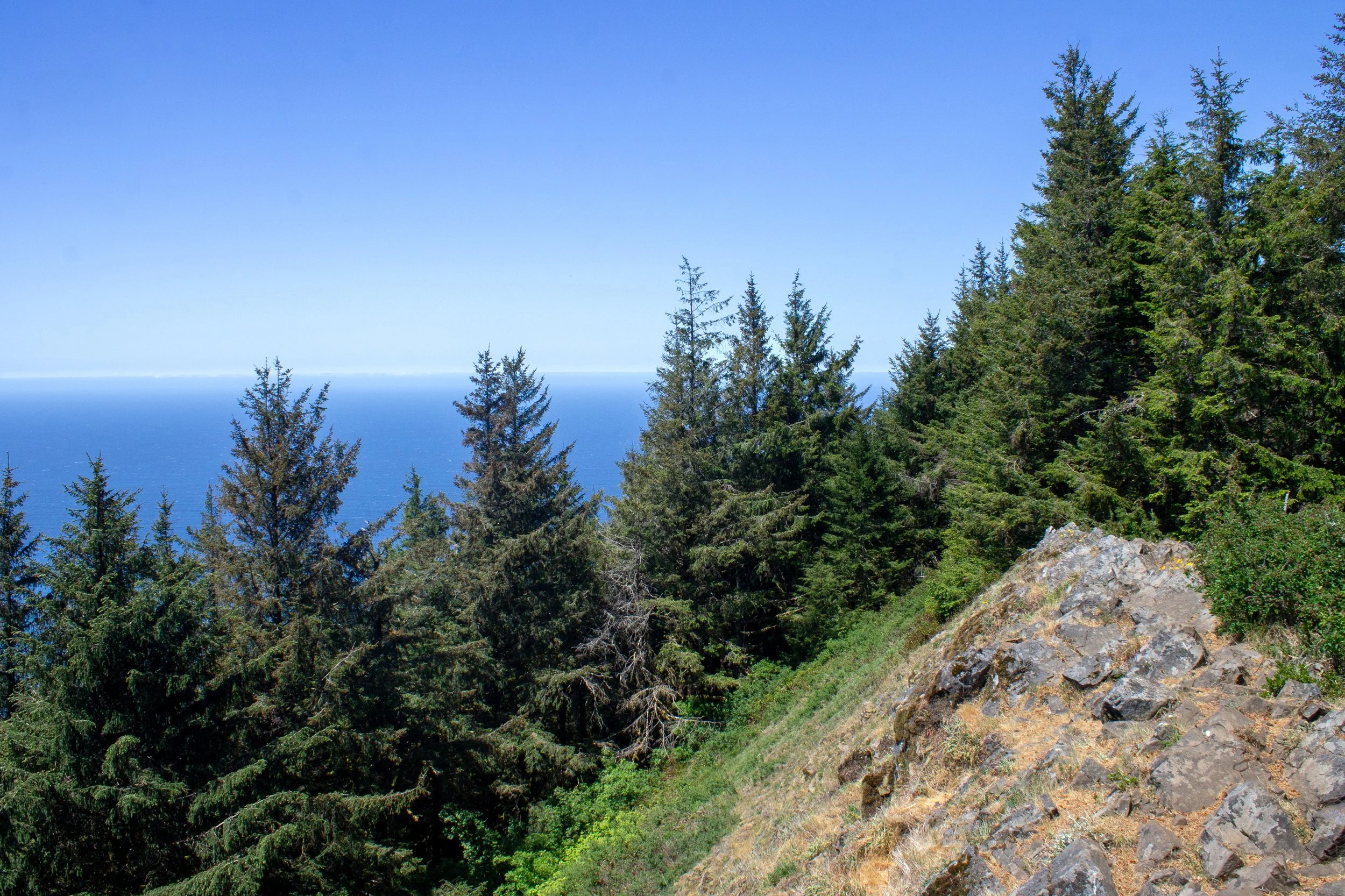
Neahkahnie Mountain summit
The north and south Neahkahnie Mountain trails meet just before the summit. The hike ends with an awkward scramble up tree roots, then prepare to be wowed.
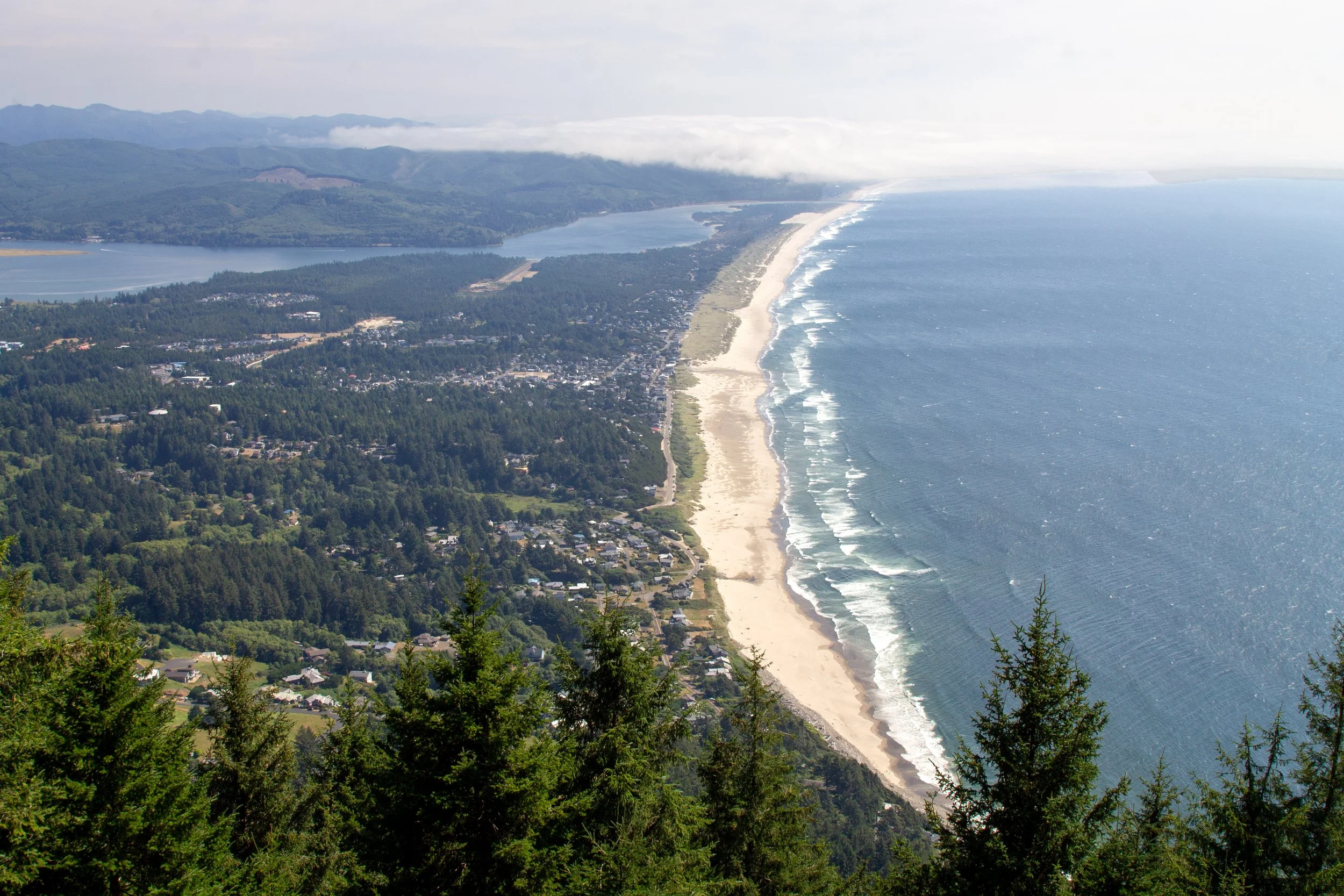
Summit views
The open rocky patch at the top of Neahkahnie Mountain is the perfect place for a snack break as you take in the views to the south. Below you are Manzanita and the mouth of Nehalem Bay. On a clear day, you might see Cape Meares and Cape Lookout. If you took the south trail, you’ll be thinking about how all the effort was worth it as you watch the waves roll onto Manzanita Beach. If you took the north trail, you’ll be trying not to think about the return journey, only the present moment.
The long version
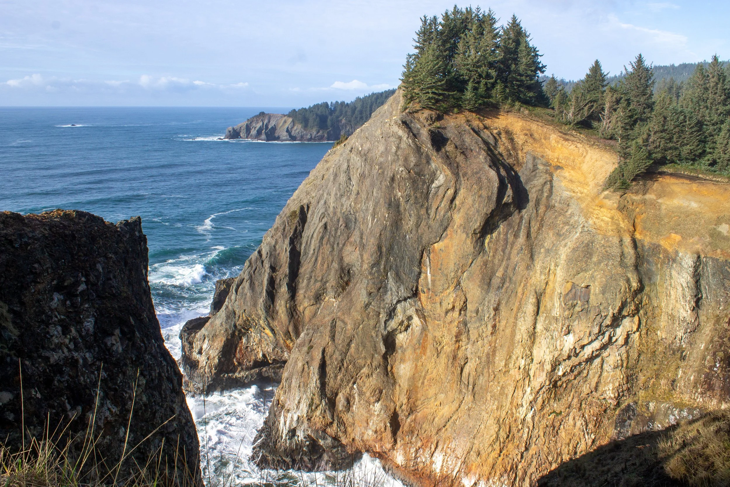
Distance: 8-mile lollipop loop
Elevation gain: 2,300 feet
Difficulty: Hard
Pass required: Oregon State Park Pass, $10/day
If the Neahkahnie Mountain hike has been sounding too short and easy, don’t worry, there’s a long version. Oregon Hikers breaks it down step by step. Here’s a quick overview. You start at the Necarney Creek parking lot in Oswald West State Park and hike down to Short Sand Beach. From here, you take the Elk Flats Trail to Devils Cauldron, then take the north trail to the summit of Neahkahnie Mountain. Descend on the South Neahkahnie Mountain Trail, then return to the Elk Flats Trail by walking along US-101.
While this hike connects incredible sights, it has downsides. The biggest one is the hike along US-101, which doesn’t always have a decent walkway or shoulder. Also, trail conditions are hit-and-miss. Personally, I’d rather do several shorter hikes to see the same things: Short Sand Beach, Elk Flats Trail, and the South Neahkahnie Mountain Trail. The roadside viewpoints along US-101 are easy stops as you drive. Dealer’s choice.
Getting there
South Trailhead
Navigate to: Neah-Kah-Nie Mountain Trail - South Trailhead in Google Maps
Take US-101 to Neahkahnie Trailhead Road, just north of Manzanita. Drive 0.4 miles to the end of the dirt road. It’s bumpy but doable in a low-clearance vehicle. Park at the end of the road or in a wide area near the trailhead. It can get busy, but I’ve never had trouble getting a spot.
North Trailhead
Navigate to: Elk Flats Trail in Google Maps
Look for the gravel parking area on the west side of US-101, south of the main Oswald West State Park lots. It’s fine with any vehicle. The parking lot is small and can fill up during busy times. The trailhead is across the highway.
The drive from Portland to Neahkahnie Mountain takes a little under 2 hours.
Enjoy your hike up Neahkahnie Mountain!
With love,
Emma
Explore nearby
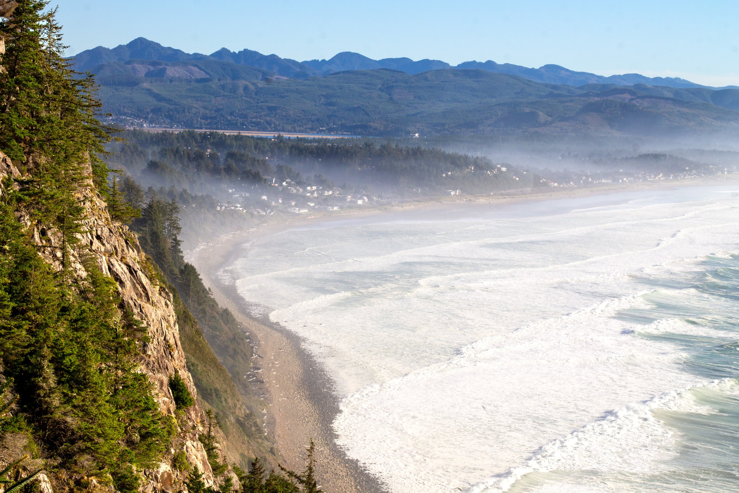
Spend a perfect day in Manzanita.
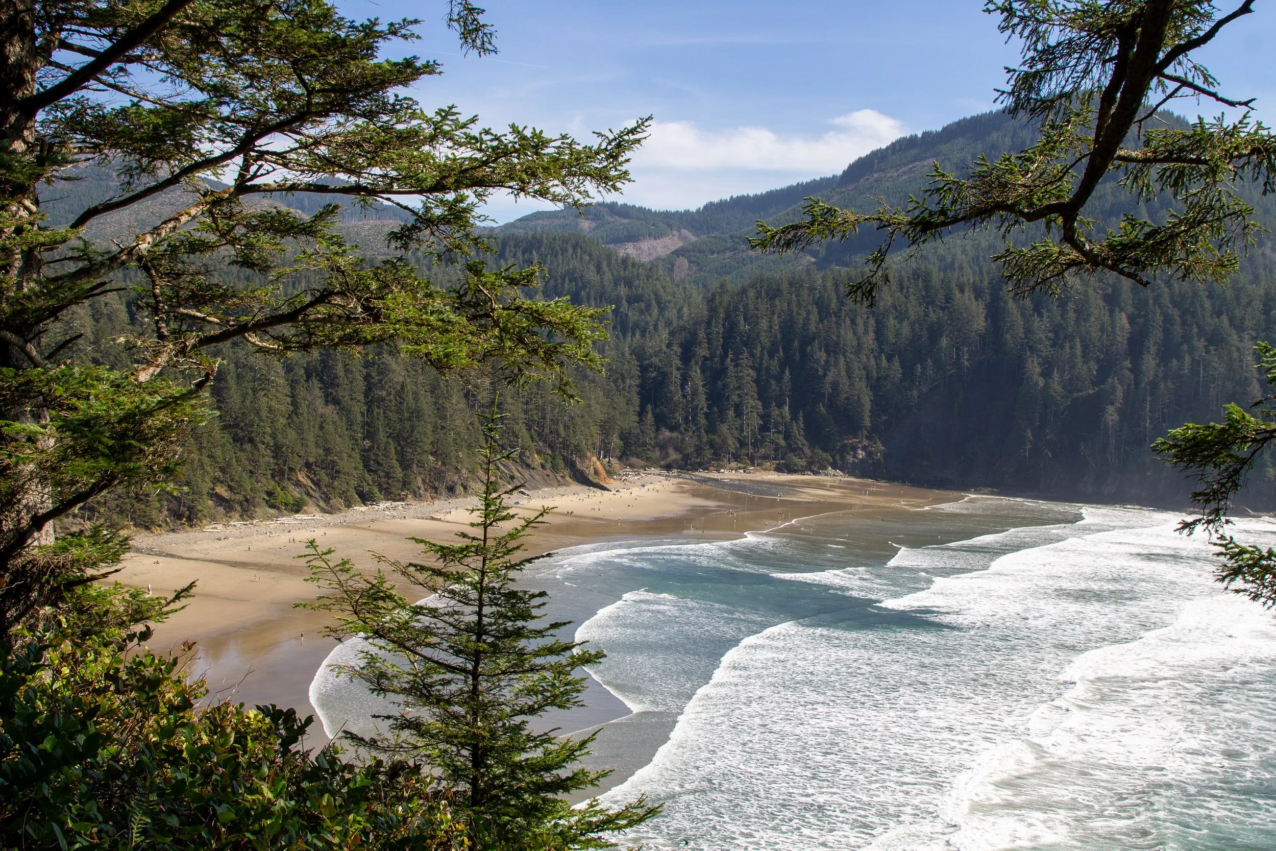
See more in Oswald West State Park.
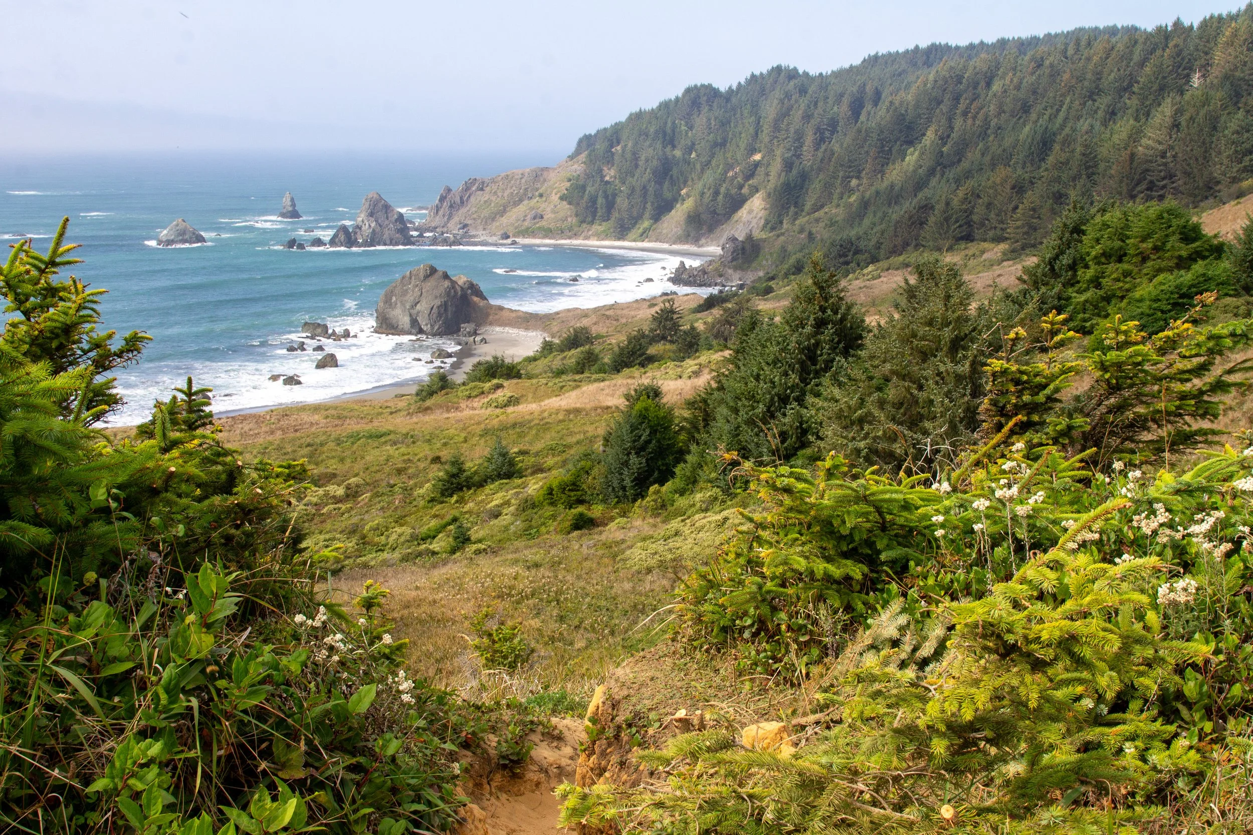
Find the best hikes on the Oregon Coast.