
Dry Creek Falls Hiking Guide
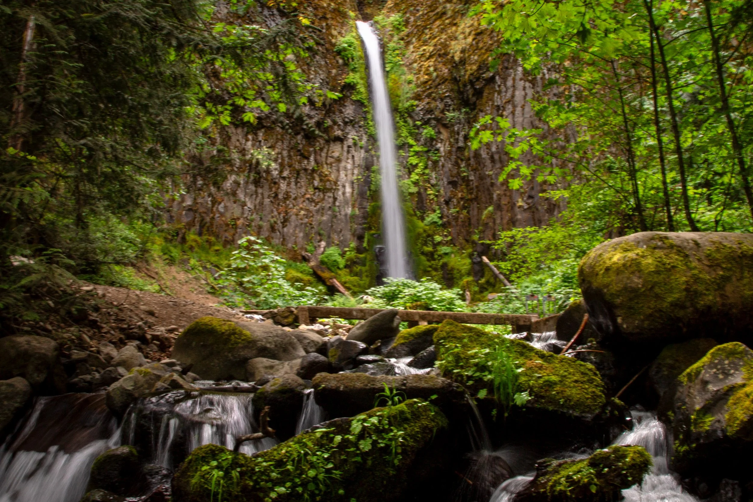
Dry Creek Falls is too well-known to be called a hidden gem, but I’d say it’s overlooked compared to the famous Columbia Gorge waterfalls nearby. More of a local’s hike than a tourist destination, this short-ish and easy-ish stretch of the Pacific Crest Trail (PCT) ends with a satisfying finale, 74-foot Dry Creek Falls. Now that it has a second parking lot, finding a spot isn’t the long shot it was in years past. After the hike, you’ll be more or less across the street from the breweries and restaurants in Cascade Locks. In other words, all the makings of a perfect afternoon.
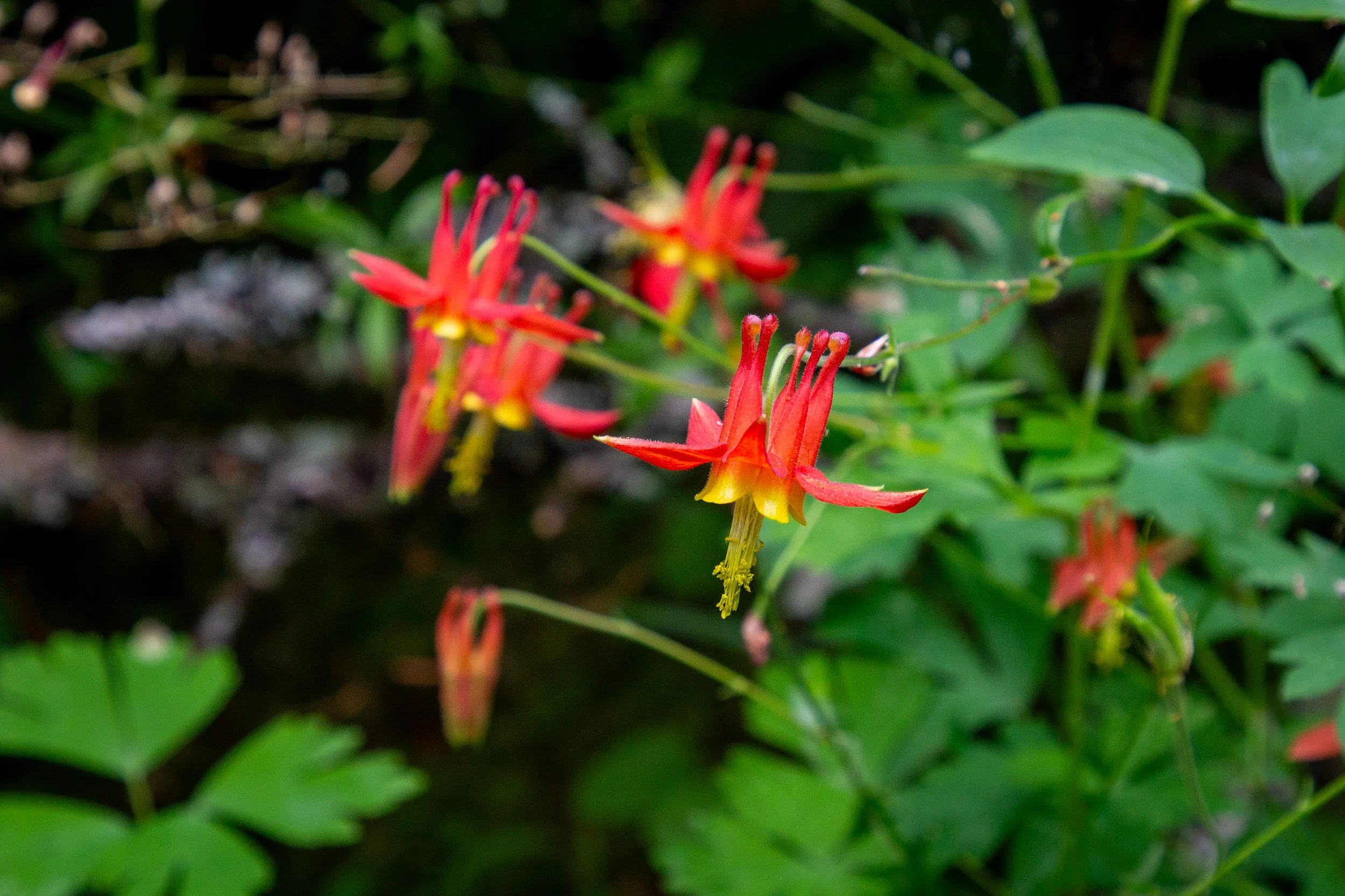
Columbine on the PCT
Quick stats
Distance: 4.2-4.6 miles out and back
Elevation gain: 800 feet
Difficulty: Moderate
ADA access: No
Parking options for Dry Creek Falls
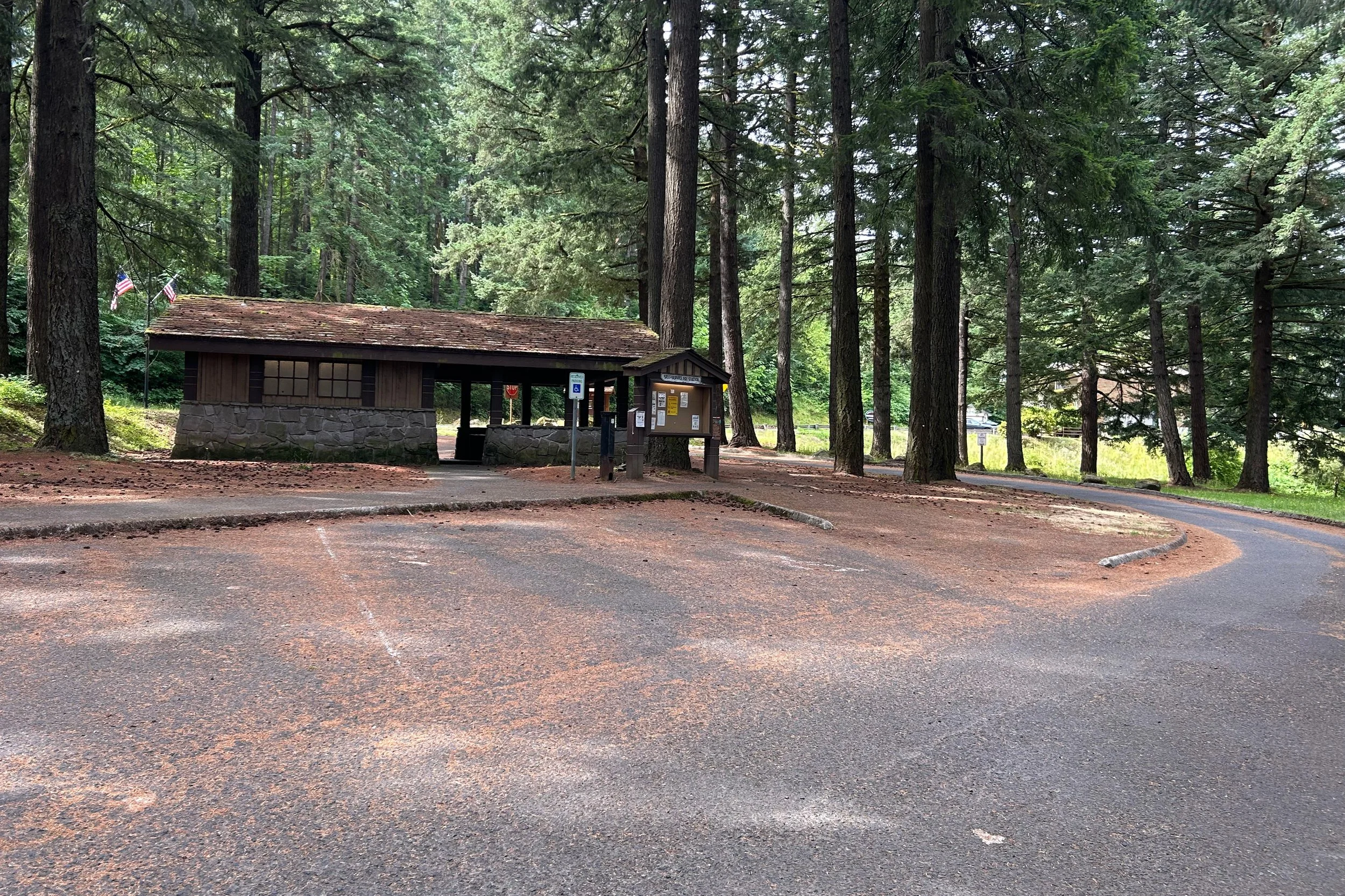
Bridge of the Gods Trailhead parking
Cascade Locks has two parking lots for the Dry Creek Falls hike:
Harvey Road lot: more parking, slightly shorter hike, $5 local daily parking fee
Bridge of the Gods Trailhead: less parking, slightly longer hike, $5 day-use fee, accepts NW Forest Pass and America the Beautiful Pass
The Harvey Rd lot is newer and in most ways better. It has more capacity and makes the hike to Dry Creek Falls about 0.4 miles shorter round-trip. The advantage of the Bridge of the Gods Trailhead is that it accepts annual recreation passes.
If you park at Harvey Rd, look for payment instructions on the sign by the restroom. You can pay via an app, a website, or by phone. I had phone reception when I went.
I usually don’t have trouble finding parking in either lot. On summer weekends, the Harvey Rd lot is the better bet. The two are close together, so if you strike out at one, it’s easy to try the other.
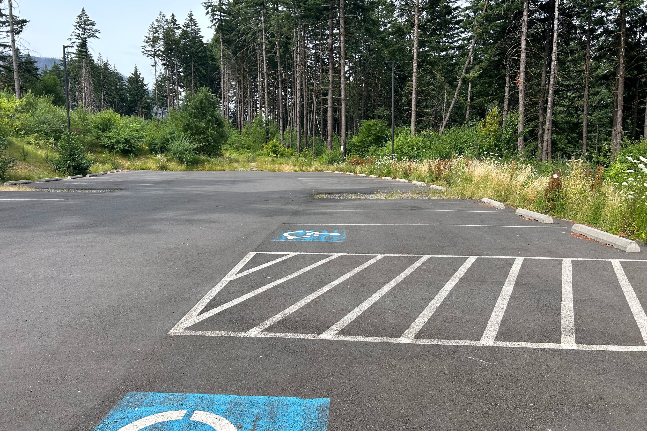
Harvey Road parking lot
Know before you go
Amenities: Restrooms are at both parking lots. They’re seasonal at the Bridge of the Gods Trailhead.
Dog-friendly: Leashed dogs are welcome on the trail.
Hazards: The Dry Creek Falls hike is family-friendly. Watch for poison oak near the trail. It’s not bad unless you continue on the PCT past Dry Creek Falls.
Season: Any
PCT to Dry Creek Falls
We’ll start at the Bridge of the Gods Trailhead. The Harvey Rd lot will be on the way. From the north end of the parking area, look for the trailhead across the road, just before the Bridge of the Gods tollbooth. The sign confirms you’re starting on the PCT.
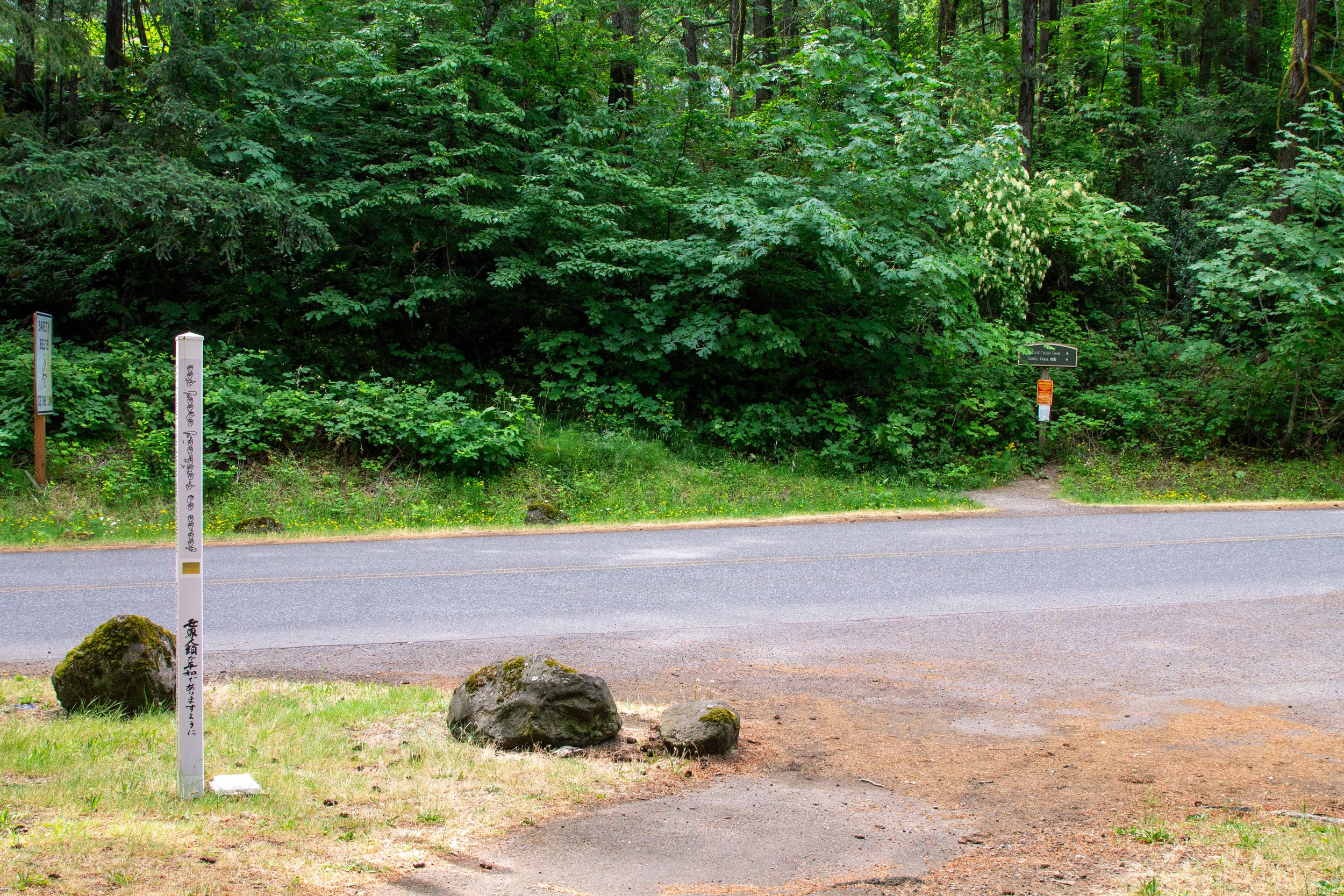
Bridge of the Gods Trailhead
In 0.1 miles, you’ll reach an underpass. Head right. There’s a sidewalk just after the underpass.
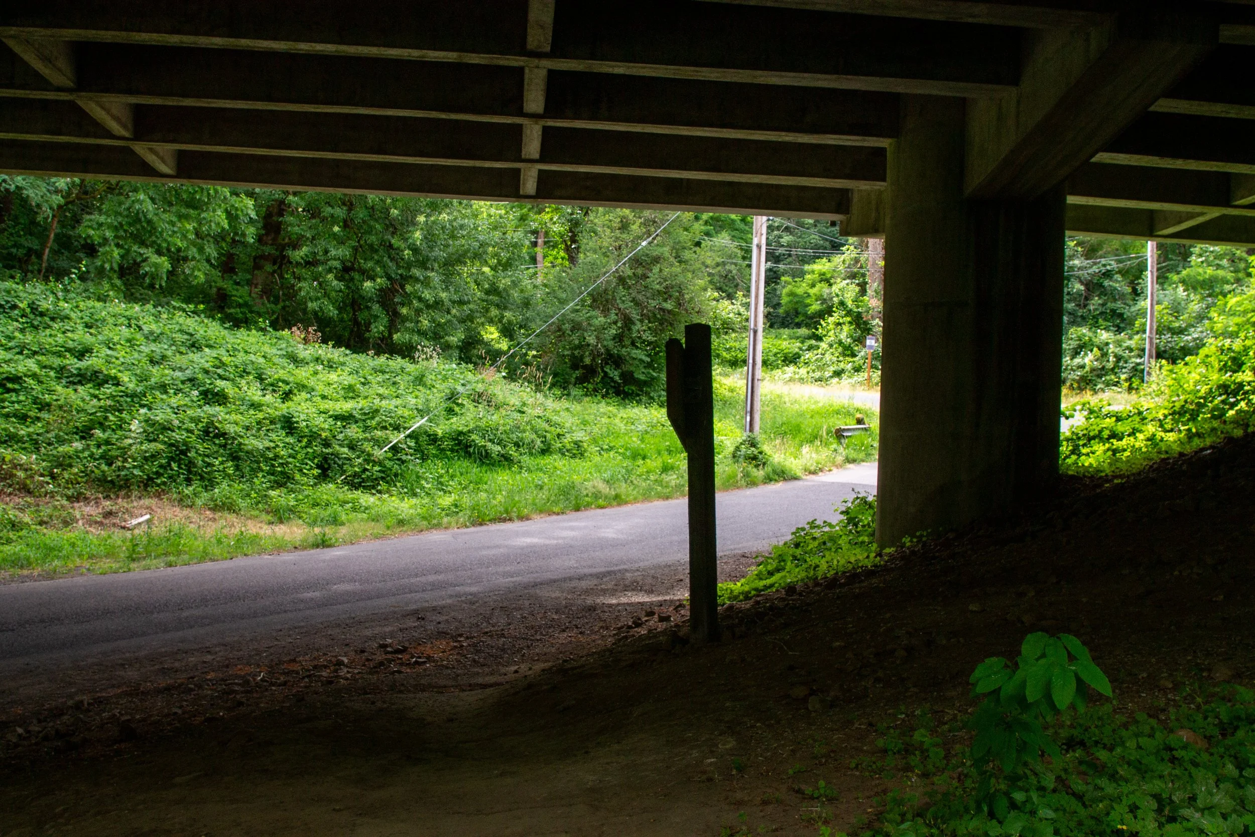
After the underpass, head right
In another 0.1 miles, you’ll be at the Harvey Rd parking lot. Look for the continuation of the PCT across the road.
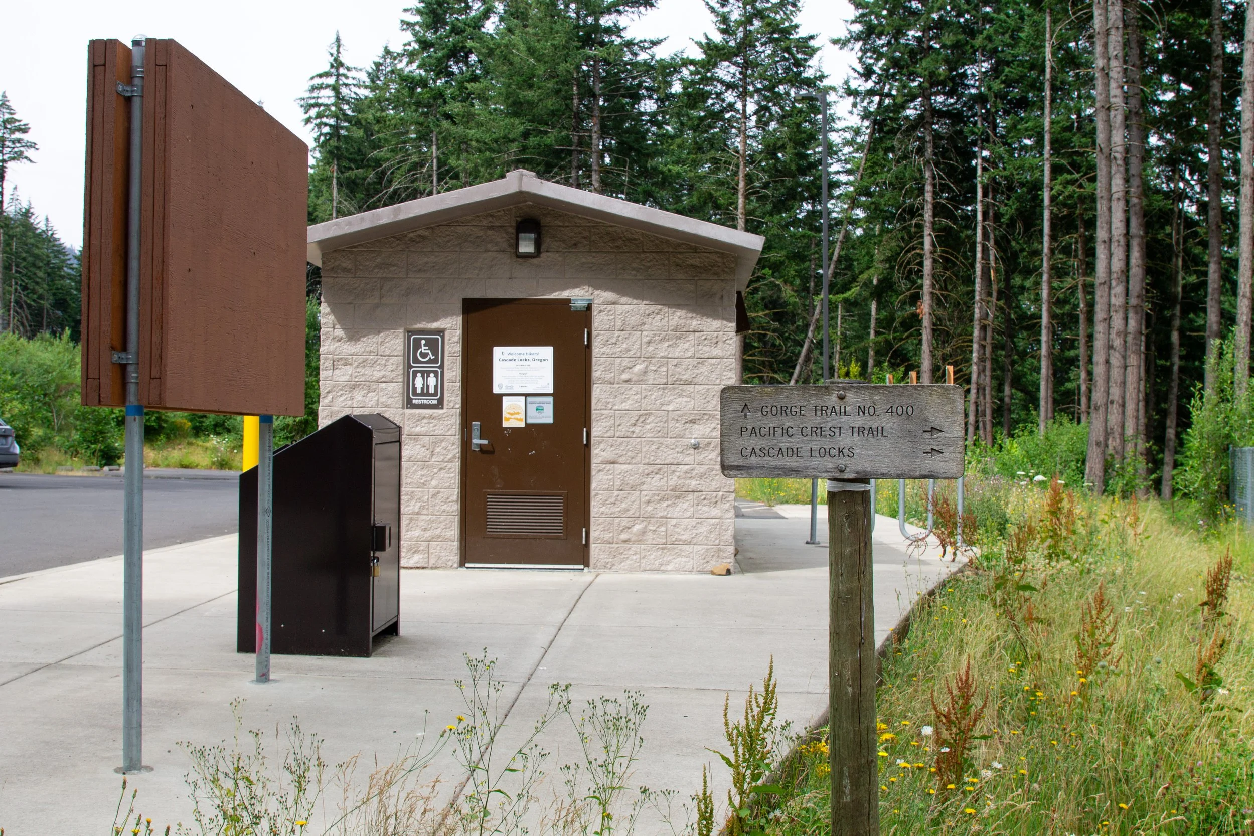
Harvey Rd parking lot
From here on, the directions are easy. The PCT takes you 1.7 miles to the short spur leading to Dry Creek Falls.
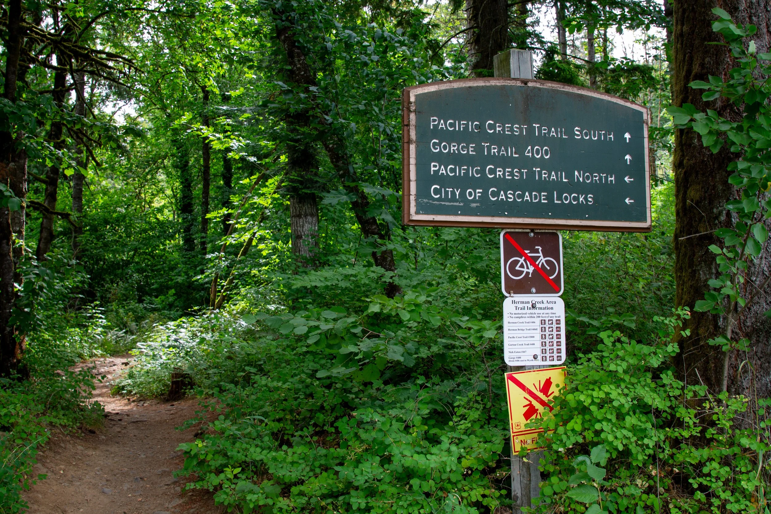
Take this trail toward PCT South
Once you’re past the Harvey Rd lot, you’ll also be in the woods for the rest of the hike. The tree cover is a bit thin at first. The undergrowth is jungly. You can spot some wildflowers in spring and summer amid the bramble. In late June, lupines and columbine.
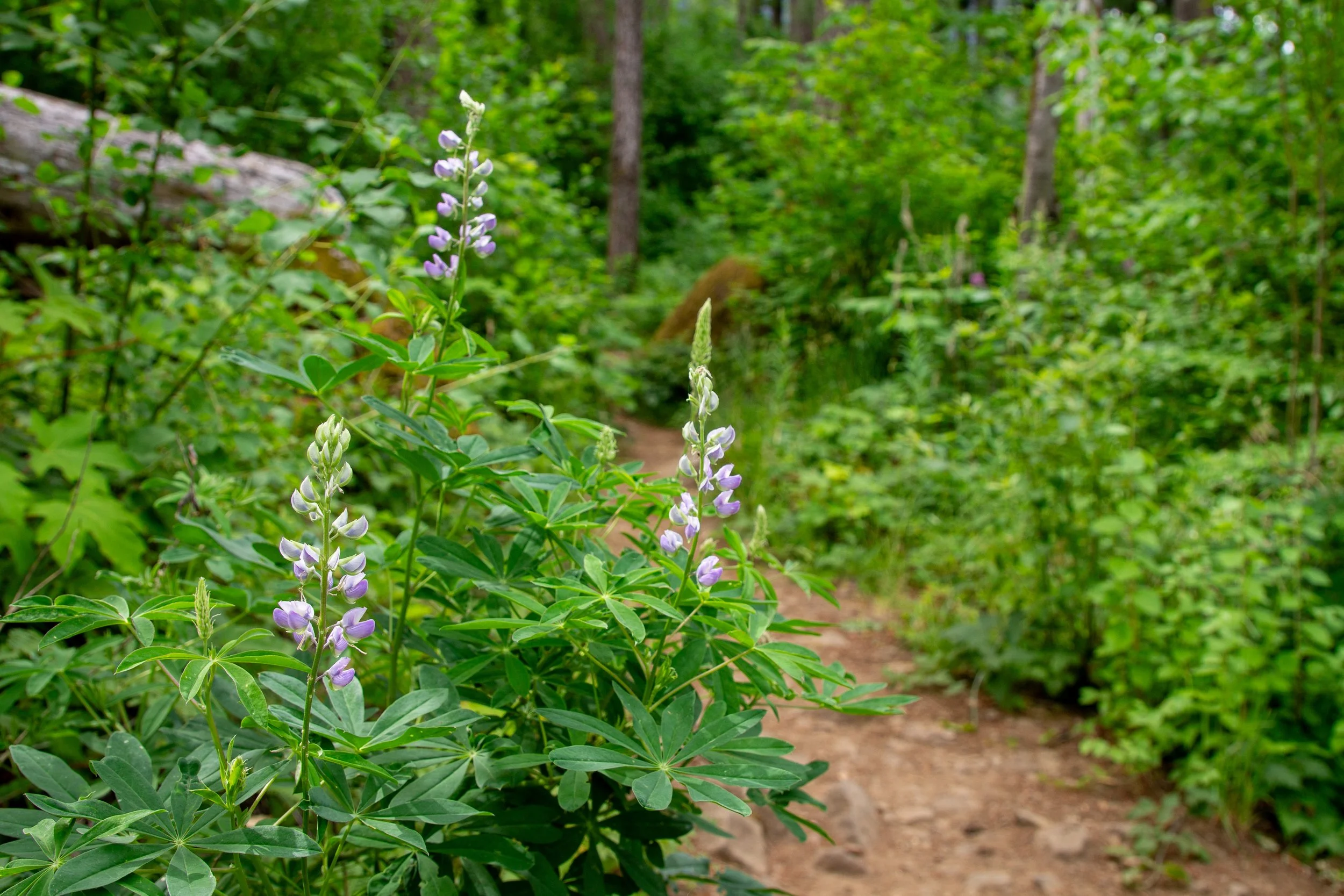
Lupines on the PCT
Tall Doug firs with blackened trunks provide a shady canopy. One of the nice things about the Dry Creek Falls hike is that most of the trees survived the 2017 Eagle Creek wildfire. The trail is steadily uphill until Dry Creek Falls, although it never gets very steep. In mid-summer, thimbleberries ripen on bushes in the undergrowth.
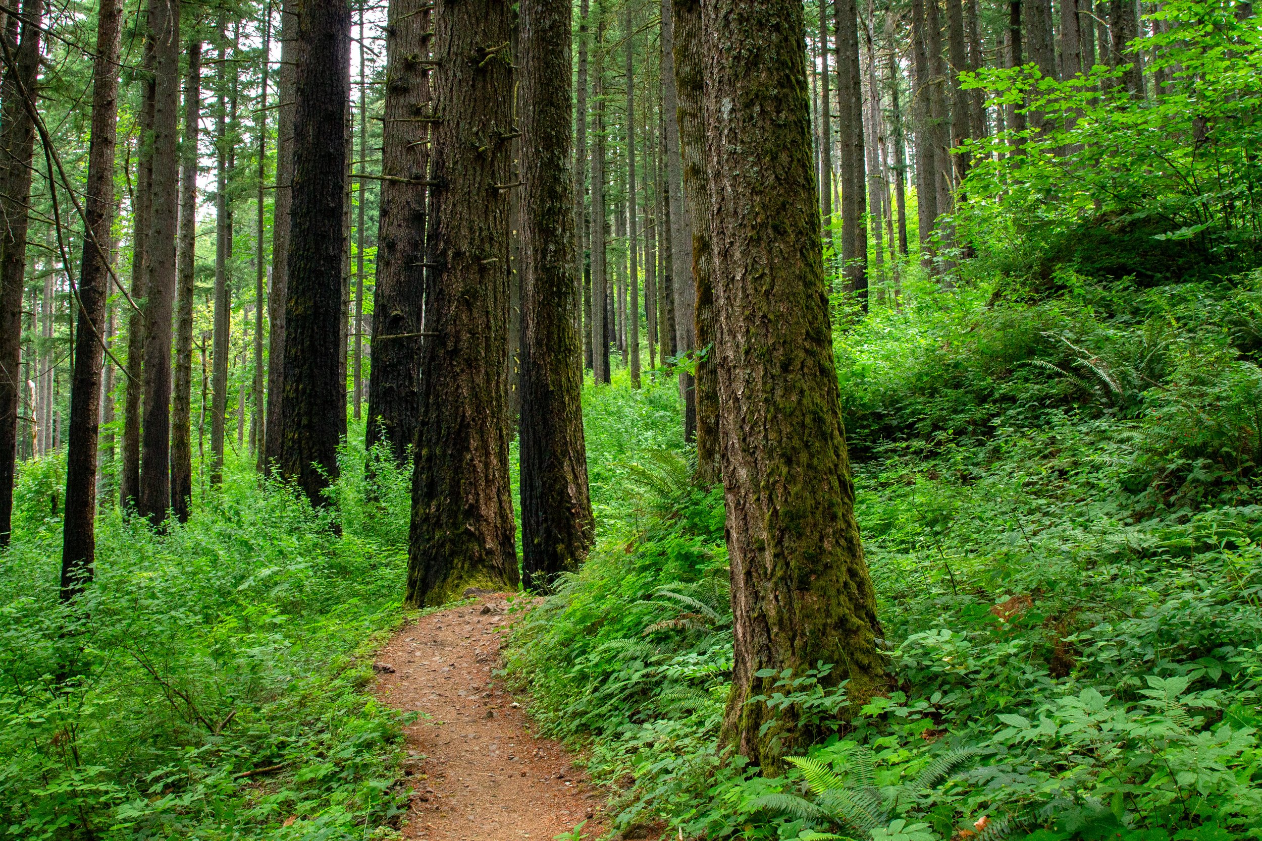
Pacific Crest Trail
Around halfway to Dry Creek Falls, you’ll walk past a power line corridor and an almost-good view of the Columbia River.
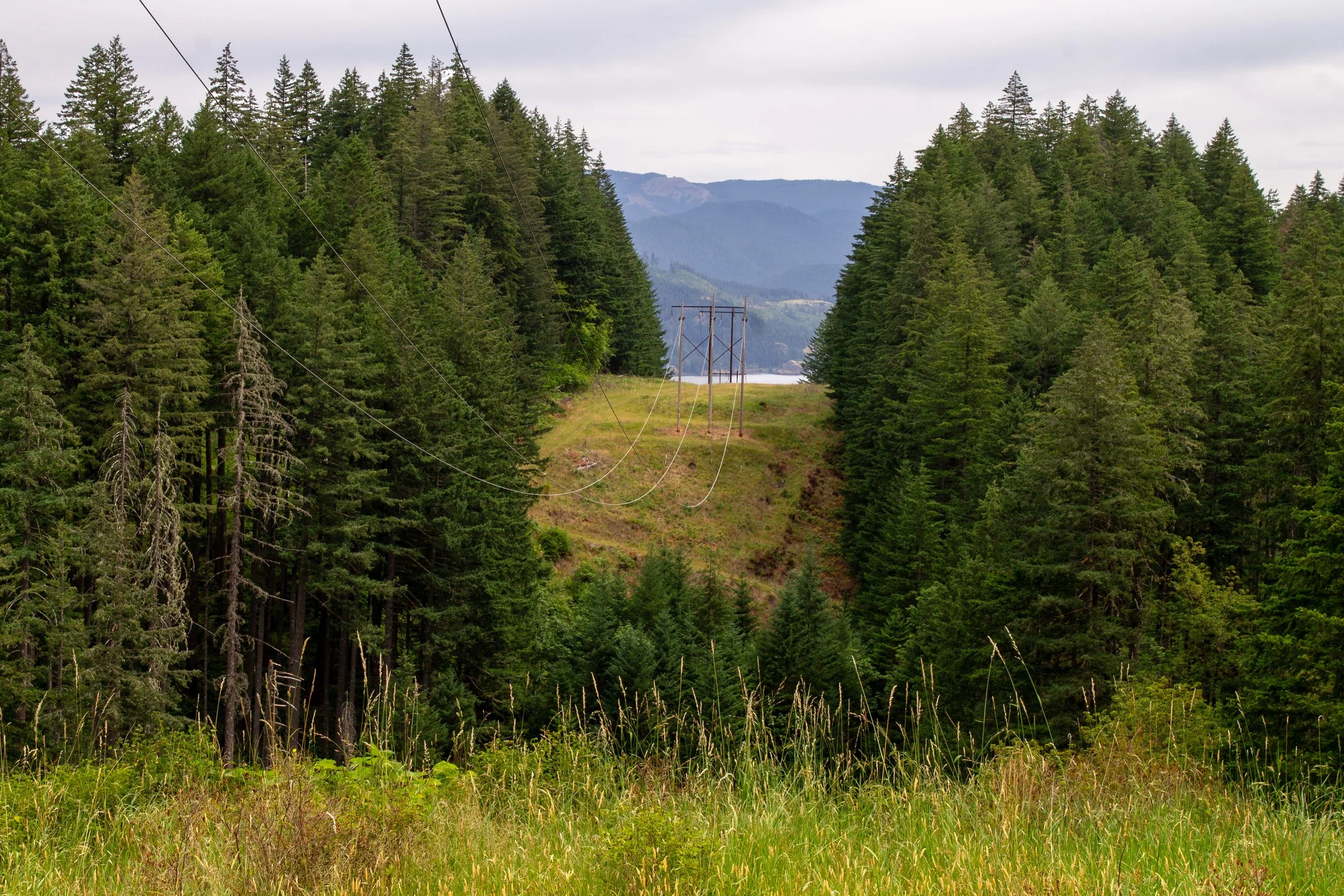
Go straight past the power lines
After another 0.8 miles or so through the woods, you’ll reach a fork in the trail just before a footbridge over Dry Creek. Don’t cross the footbridge. Instead, head right towards Dry Creek Falls.
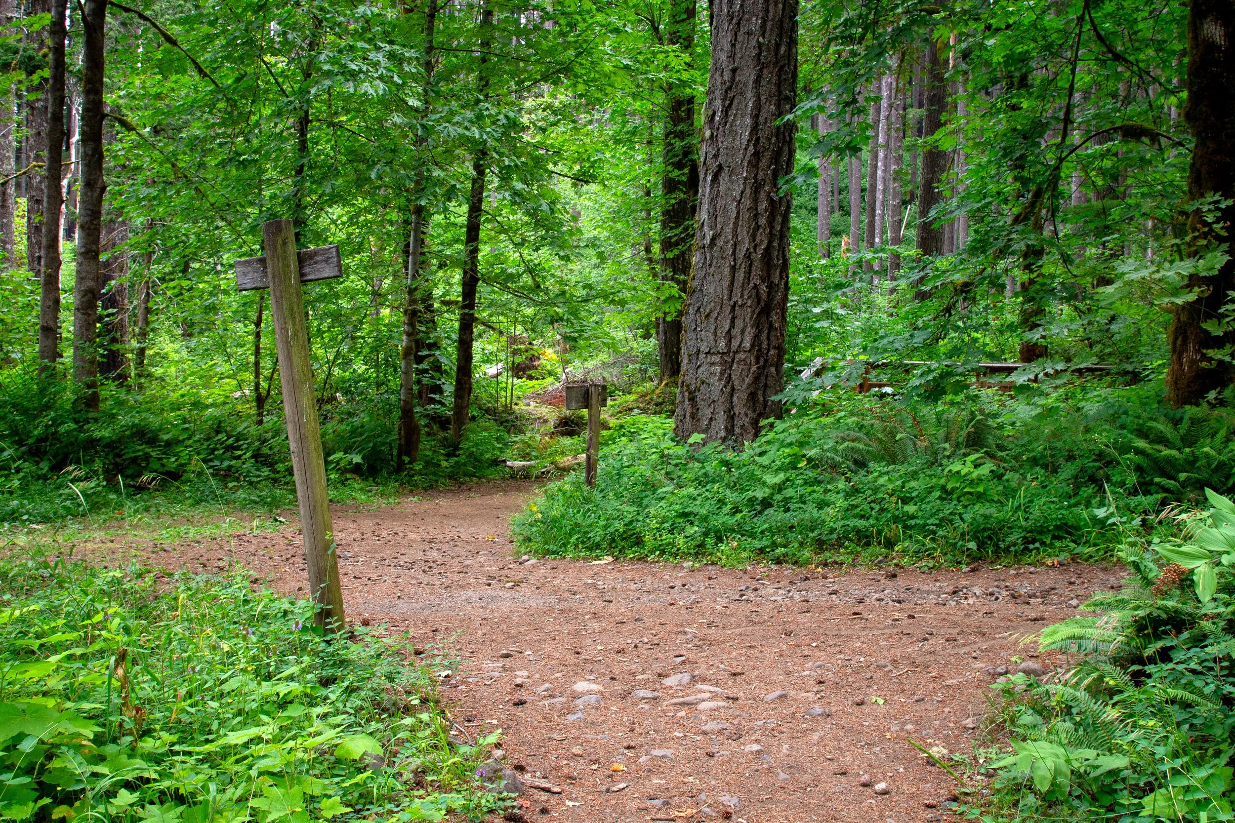
Take a right toward Dry Creek Falls
The short spur trail follows Dry Creek. Through the brush, you can spot some pretty cascades. In 0.2 miles, you’ll reach Dry Creek Falls.
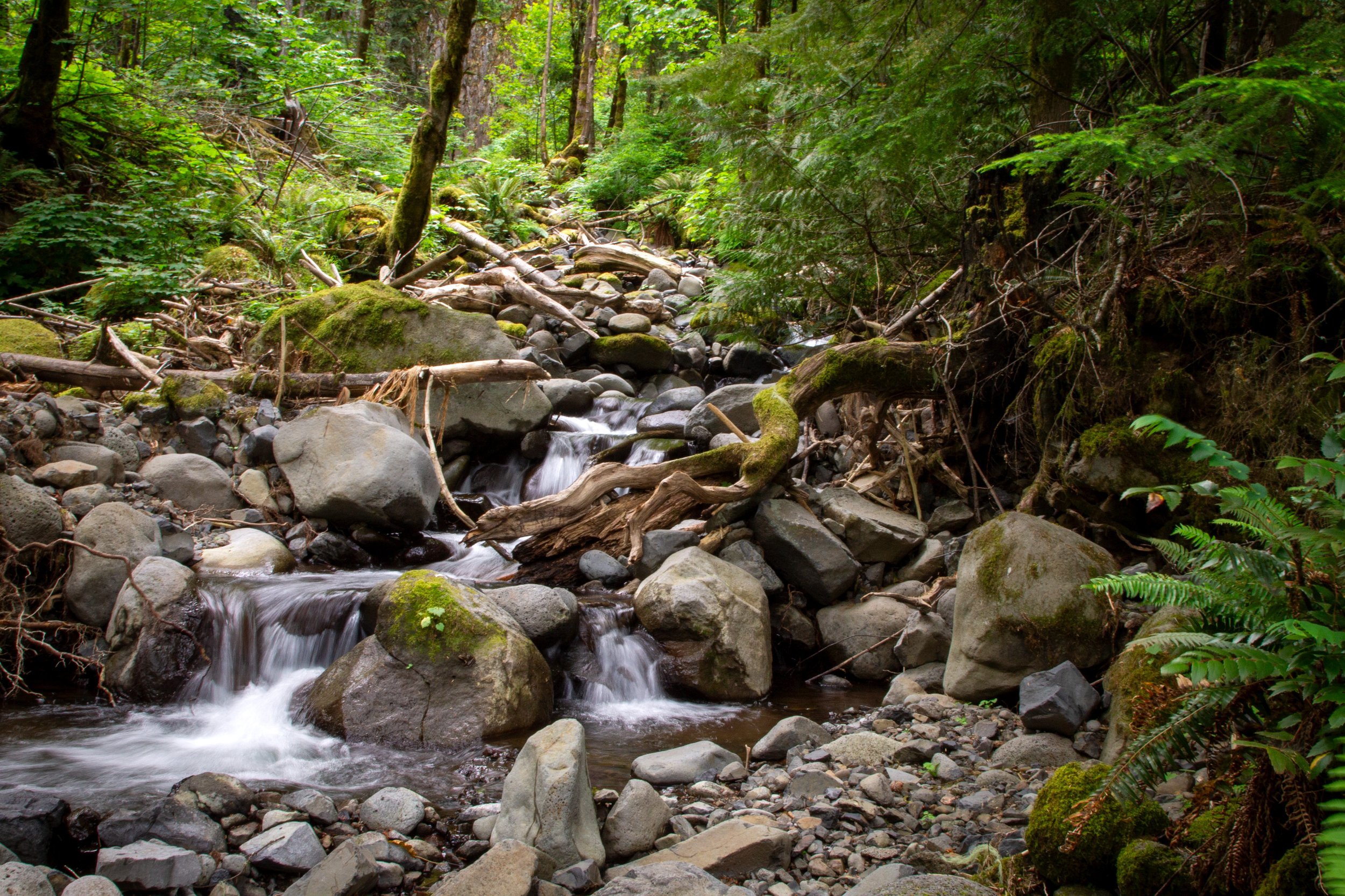
Dry Creek
More so than most Columbia Gorge hikes, Dry Creek Falls is about the destination rather than the journey. The forest hike is pleasant, but the waterfall is what keeps me coming back. The 74-foot Dry Creek Falls makes a single plunge over a mossy cliff of narrow basalt columns. I’ve visited in different seasons, and it’s always had enough water to keep it interesting. Above the plunge is a deep recess in the cliff, hinting at the waterfall’s unreachable upper tiers.
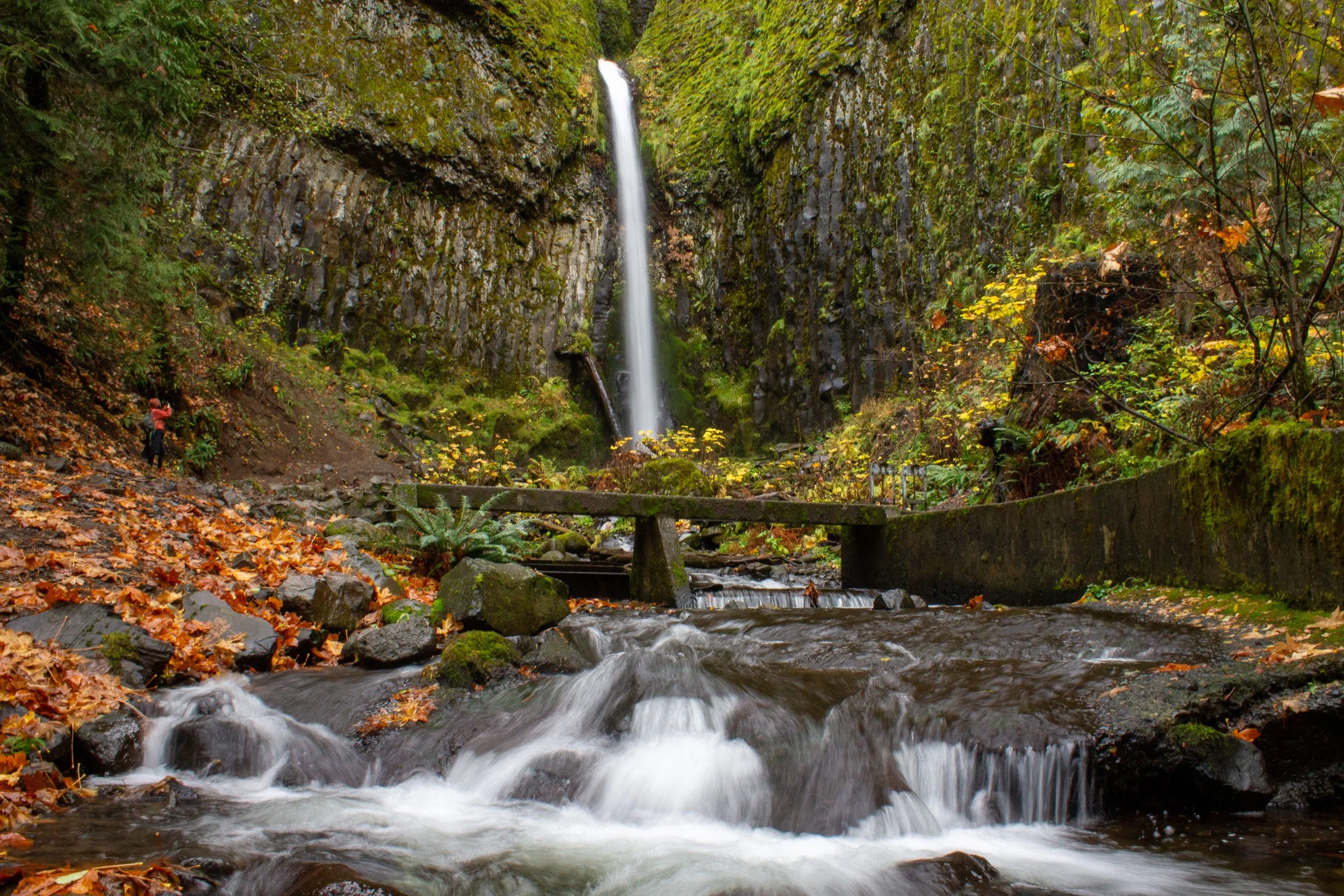
Dry Creek Falls
In front of the waterfall, a small concrete bridge passes over Dry Creek. It’s a legacy of the early 1900s, when the creek helped power the locks at Cascade Locks. Diverting the water dried up the creek, hence the name. Today, Bonneville Dam powers the locks, and Dry Creek flows freely.
Beyond Dry Creek Falls: Herman Creek Pinnacles hike
Distance: 8-9 miles
Elevation: 1,600 feet
Difficulty: Moderate
Most people who hike to Dry Creek Falls turn around at the waterfall, which is what I’d recommend unless you’re itching for a longer hike. Itching is the keyword. The PCT has sooooo much poison oak past Dry Creek. If you continue, wear long pants, long sleeves, and closed-toed shoes. I also wouldn’t bring a dog. The next satisfying turnaround point after Dry Creek Falls is at the Herman Creek Pinnacles, strange rock formations shaped like cat ears. To find them, return to the fork and take the footbridge over Dry Creek.
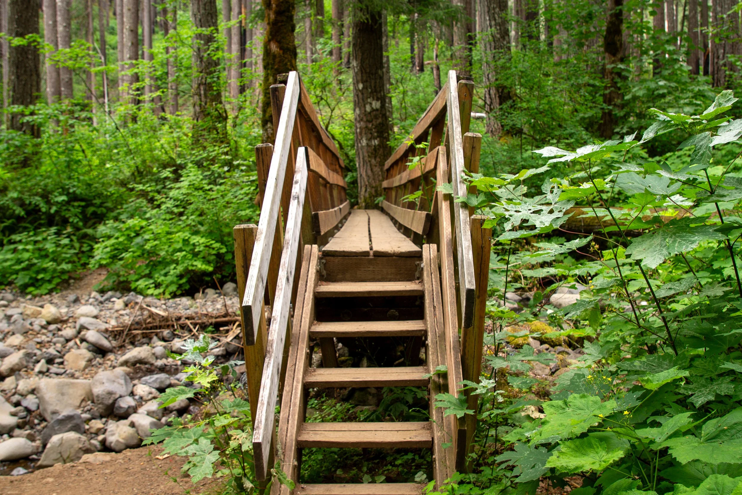
Cross the Dry Creek Falls footbridge to continue the PCT
Past the footbridge, the PCT stays similar to what it was on the way to Dry Creek Falls, only overgrown and without other hikers. In the early afternoon, the density of spiderwebs told me I was the first visitor of the day. Thimbleberries are a nice consolation for all the poison oak. I was wearing a T-shirt and had to hold my arms up over my head through the worst patches. After about a mile, you reach the first of several rockslide clearings.
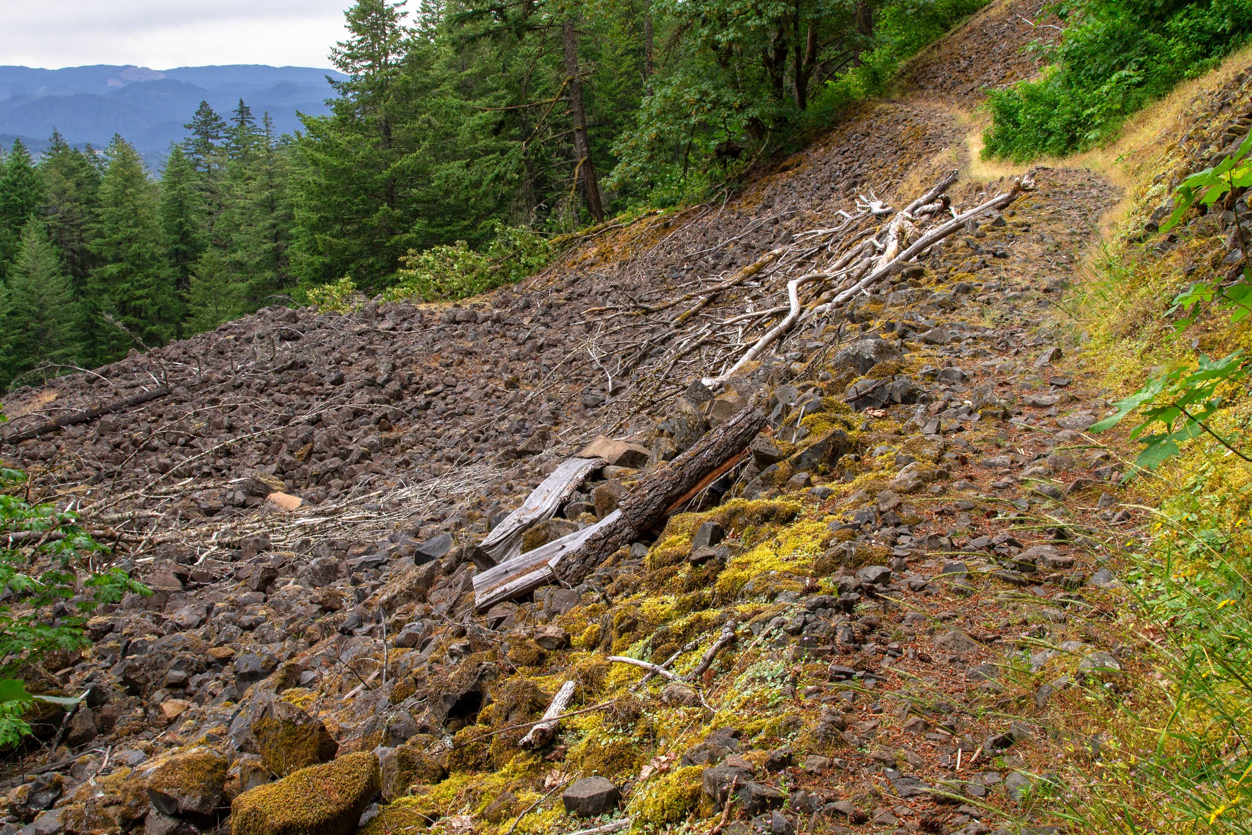
Pacific Crest Trail
I was getting antsy at this point in the hike because it was longer than I expected, and my bum leg was making its limitations known. Oregon Hikers has the round-trip distance at 7.4 miles. Friends of the Columbia Gorge has it at 8.6 miles, which I’d say is closer to the mark. The route tracker on the All Trails app had my final distance at 9.3 miles, the longest I’ve walked since my bike accident. For most people, it wouldn’t matter as much. I bring it up because I perhaps didn’t appreciate the pinnacles as much as I normally would have. As it was, my favorite part of the hike/limp was passing the most beautiful tiger lily I’ve ever seen.
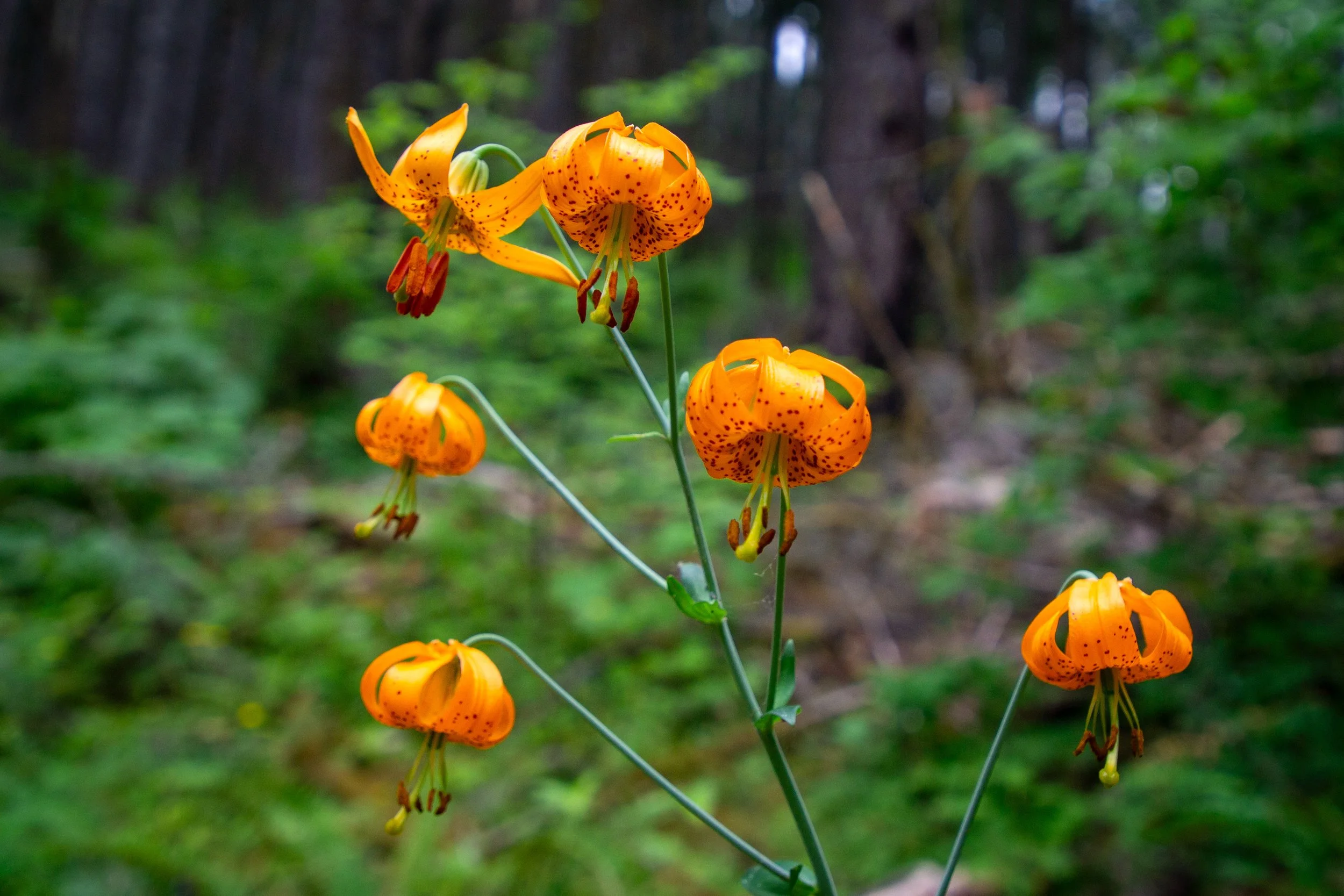
Tiger lilies on the PCT
Then again, perhaps the pinnacles are a little underwhelming. As I got close, I passed a couple of hikers going the other direction and asked them what they thought of the pinnacles. “What pinnacles?” was their answer. I continued, with expectations lowered. As my distance tracker ticked past 5 miles, I was very relieved to see the cluster of weird basalt cones next to the trail. I turned around here, but another quarter mile or so would get you to Pacific Crest Falls.
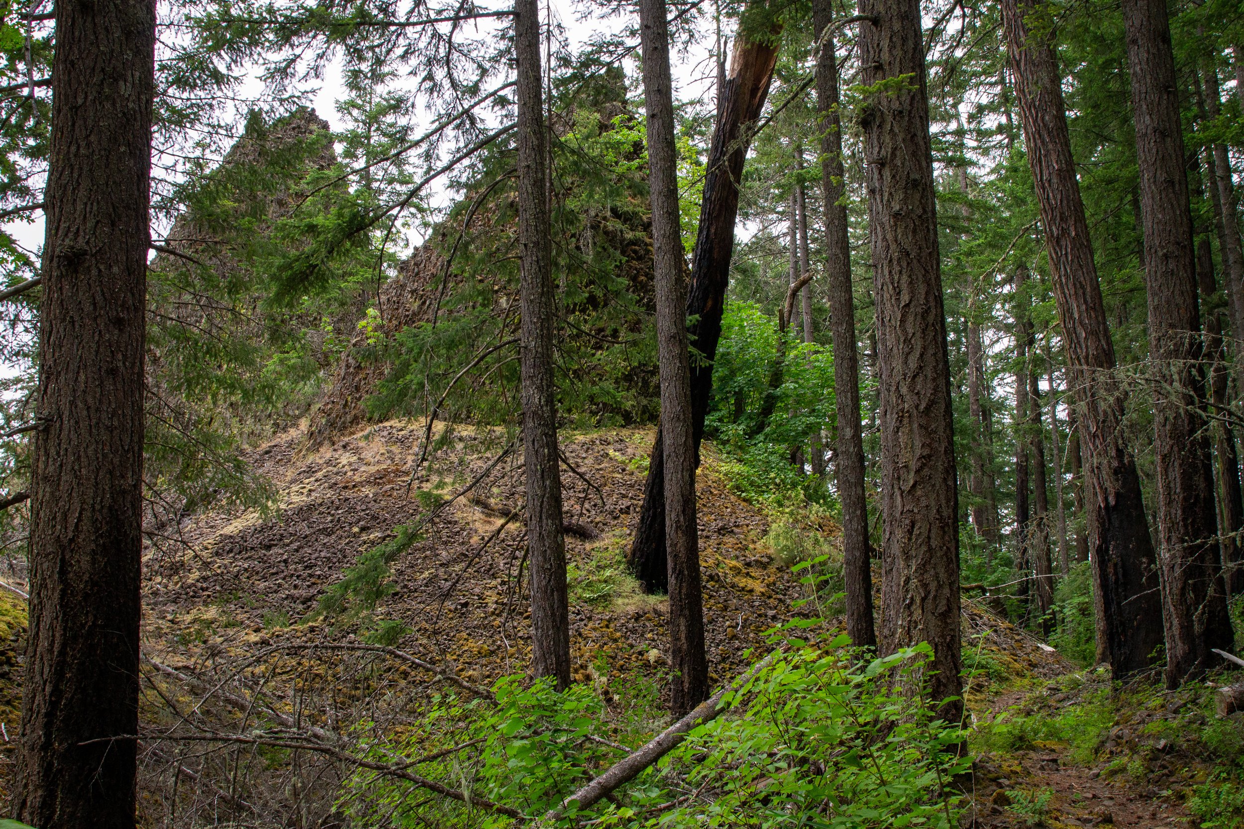
Herman Creek Pinnacles
After Dry Creek Falls
One of the cool things about hiking to Dry Creek Falls is that once you’re done, you’ll be a stone’s throw away from the restaurants in Cascade Locks. My favorite place for post-hike drinks and snacks is Thunder Island Brewing. The inside space has big windows, but the patio is where to see the best views of the Columbia River and Bridge of the Gods.
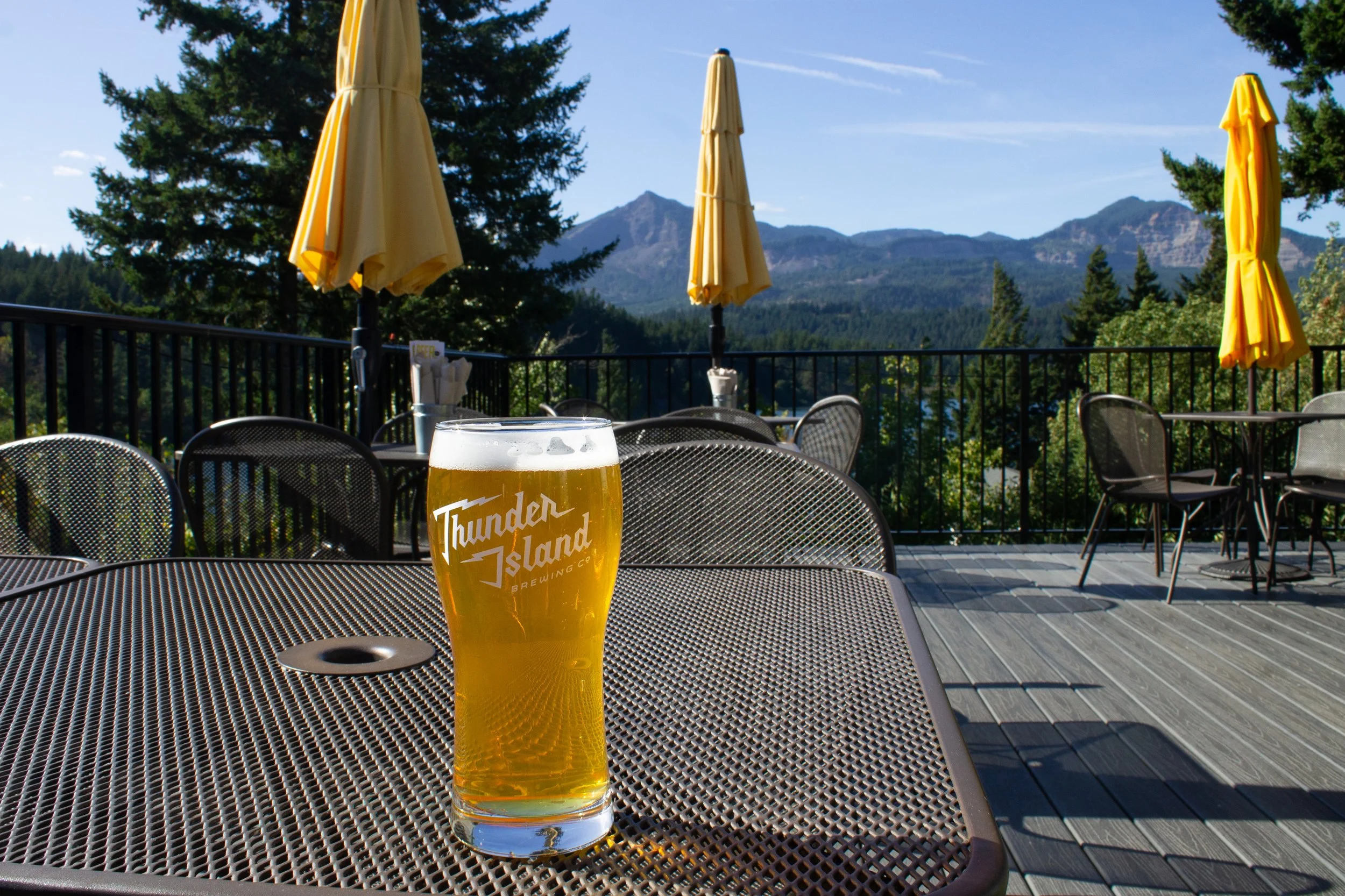
Thunder Island Brewing
Getting there
Harvey Road parking lot:
From Portland, take I-84 E to Exit 44 in Cascade Locks. Merge onto Cascade Locks Hwy/US-30/Wa Na Pa St and continue for 0.4 miles. Turn right onto SW Wasco St. In 0.1 miles, turn right onto SW Moody Ave. Then, make a slight right onto Harvey Rd in 0.1 miles. In about 200 feet, look for the parking lot on your right.
In Google Maps, it has the ambiguous name: “Pacific Crest Trail - Parking.”
Bridge of the Gods Trailhead parking lot:
From Portland, take I-84 E to Exit 44 in Cascade Locks. Merge onto Cascade Locks Hwy/US-30/Wa Na Pa St, then make a slight right toward Bridge of the Gods in about 300 feet. Turn right into Toll House Park just before the bridge. You won’t need to pay the bridge toll.
In Google Maps, navigate to “Bridge of the Gods Trailhead” or “Toll House Park.”
The drive from Portland to either parking lot takes about 45 minutes.
Enjoy your hike to Dry Creek Falls!
With love,
Emma
Explore nearby

Check out the best waterfall hikes near Portland.

Find the best short hikes in the Columbia Gorge.
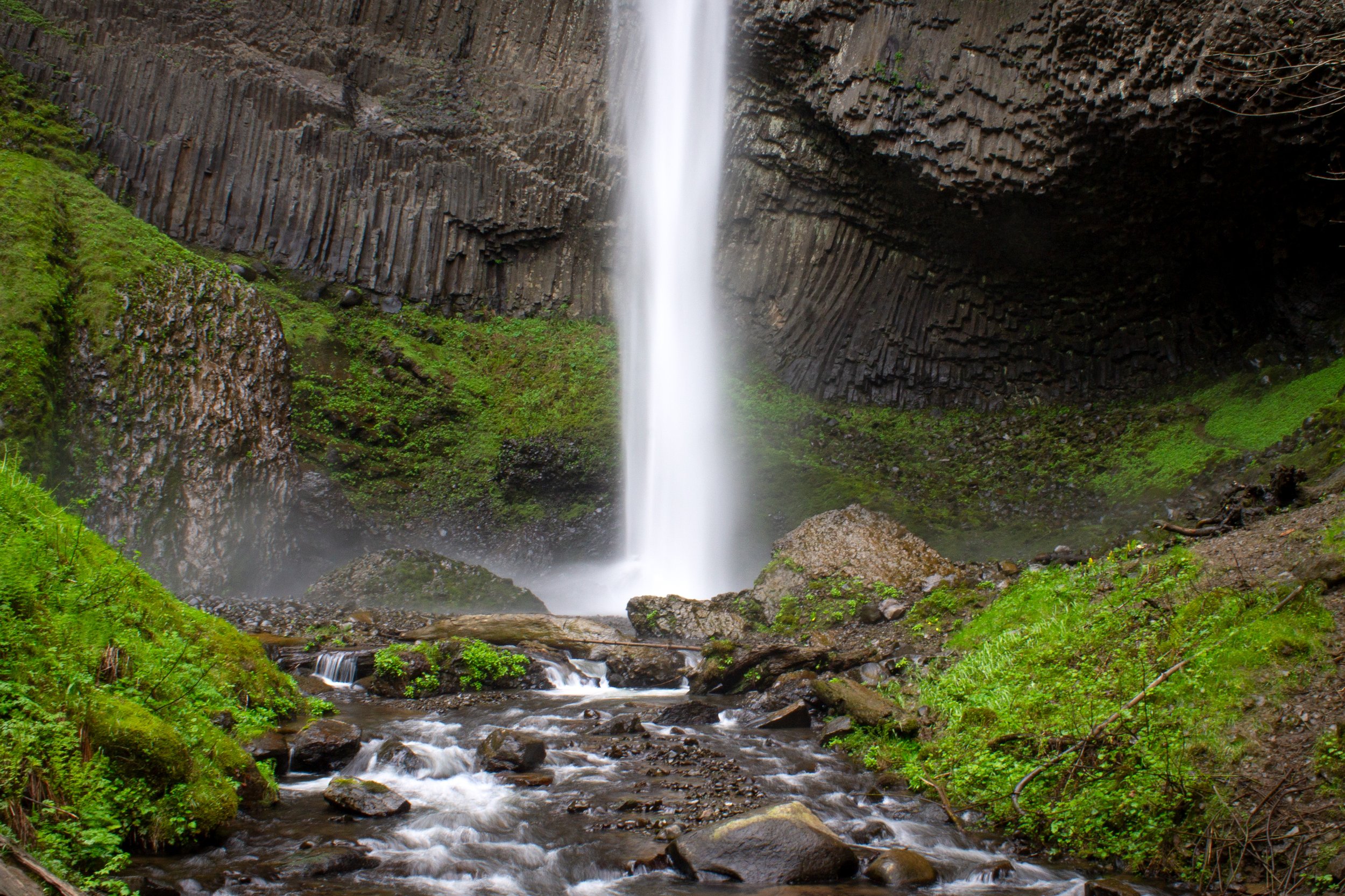
Visit the waterfalls of the Columbia Gorge.