
Bald Mountain Hike [Top Spur-Timberline Loop]
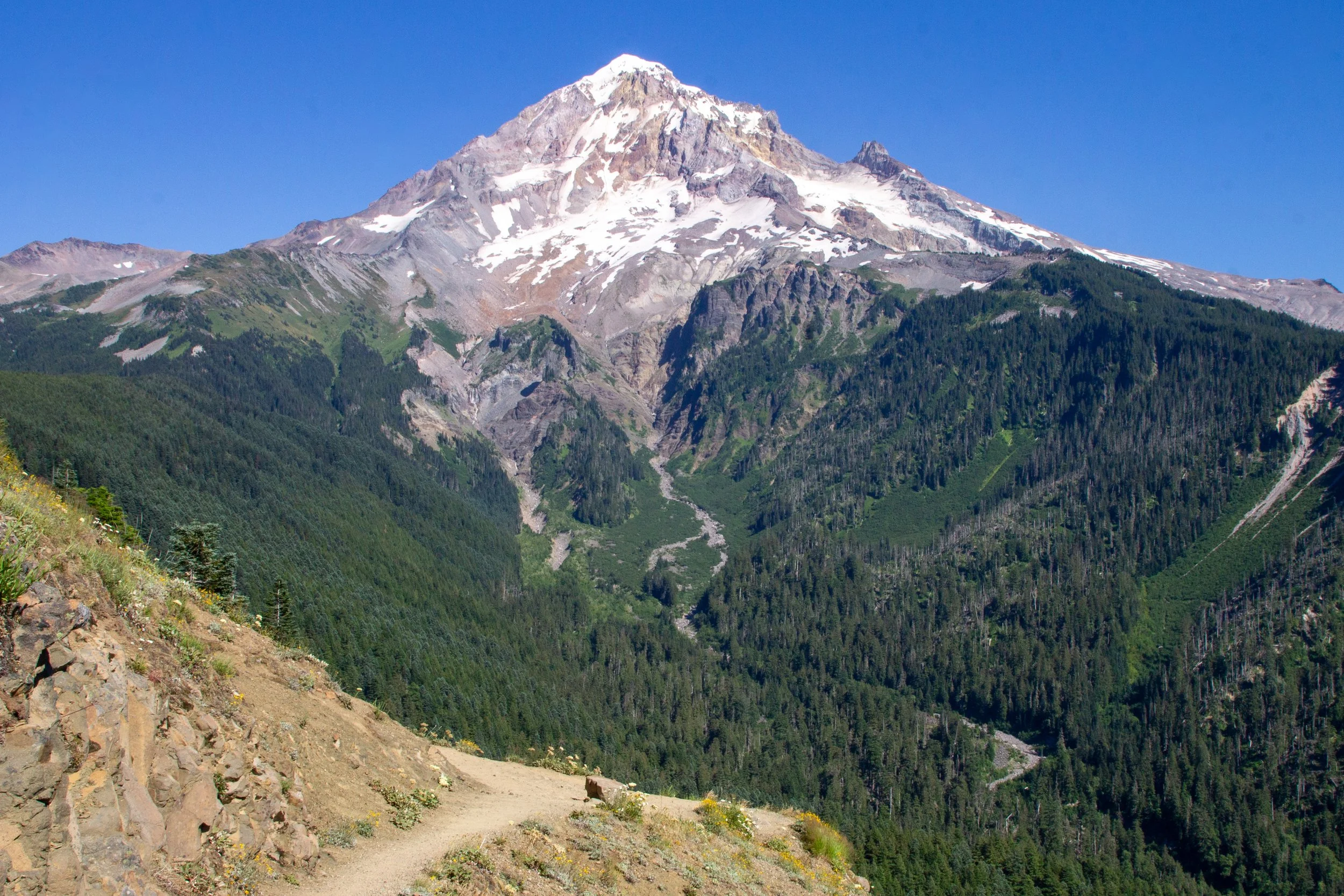
The Top Spur-Timberline Loop on Bald Mountain has some of the biggest rewards for the effort of any hike near Portland. The catch is the drive to the trailhead. It’s narrow and full of crater-like potholes. If you meet another car, one of you may have to awkwardly back up until you reach a widening. Once you arrive at the trailhead, the parking lot is almost always full, even on weekdays and early mornings. Have a NW Forest Pass with you, or the stressful drive will have been for nothing. It’s worth the hassle. When you see the breathtaking views of Mount Hood from Bald Mountain, you’ll think of nothing else for days to come.
Quick stats
Distance: 2.3-mile lollipop loop
Elevation gain: 600 feet
Difficulty: Moderate
Pass required: NW Forest Pass or America the Beautiful Pass
ADA access: No
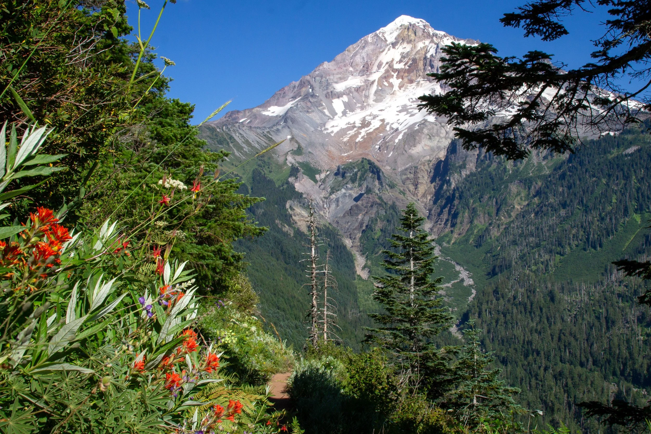
Paintbrush blooms on Bald Mountain in mid-summer
Know before you go
Cost: You need a NW Forest Pass ($5/day) to park at the Top Spur Trailhead. Buy a pass ahead of time.
Road conditions: The road to the Top Spur Trailhead is terrible. It has tons of large potholes. I wouldn’t bring a low-clearance vehicle.
Parking at the trailhead is limited and fills up quickly.
Amenities: The trailhead has a porta-potty.
Dog-friendly: Yes, leashed dogs are welcome on the trails.
Season: Summer and fall. Best on clear days.
Navigation: Have an offline map downloaded. The trail junctions are mostly labeled, but it gets confusing since you’ll be on different sections of the Timberline Trail.
The route: The most popular trail on Bald Mountain isn’t the one to the summit, but the short loop near the top, which is what I’d recommend. It has better views on an easier hike. If you’re curious, you could do both. It’d only be about 3 miles total.
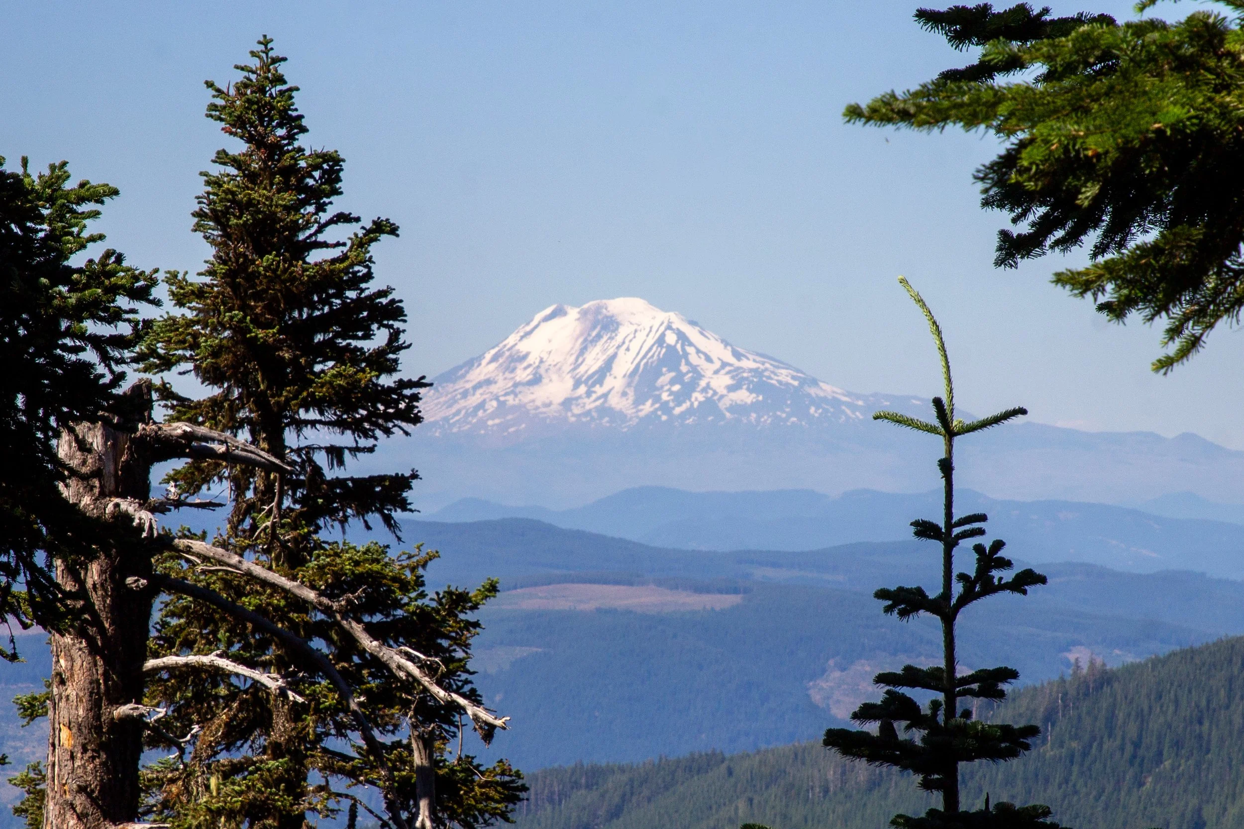
Mount Adams from Bald Mountain’s summit
Top Spur-Timberline Loop
Basic directions:
Take the Top Spur Trail for 0.5 miles, then take a right on the Pacific Crest Trail (PCT).
Just ahead, take another right onto the Timberline Trail.
In 0.7 miles, take a left onto the Timberline cut-off trail.
In 0.1 miles, take a left onto the Timberline Trail.
In 0.4 miles, take a right onto the PCT and then a left onto the Top Spur Trail to return to the parking lot.
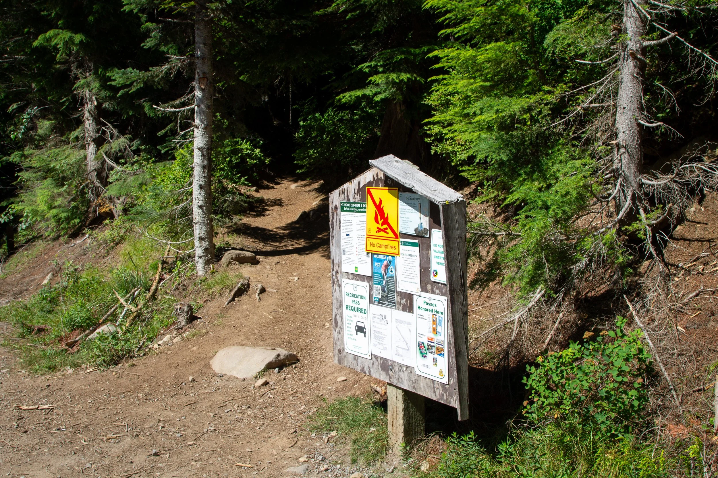
Top Spur Trailhead
The details:
Once you’ve made it to the trailhead and found a parking spot, the hardest part of the excursion is behind you. The Top Spur Trail begins with a gradual uphill climb through a shady forest with some old-growth conifers. It has plenty of rocks and roots, but nothing extreme. The undergrowth has huckleberry and salmonberry bushes. My timing was wrong for both in mid-July.
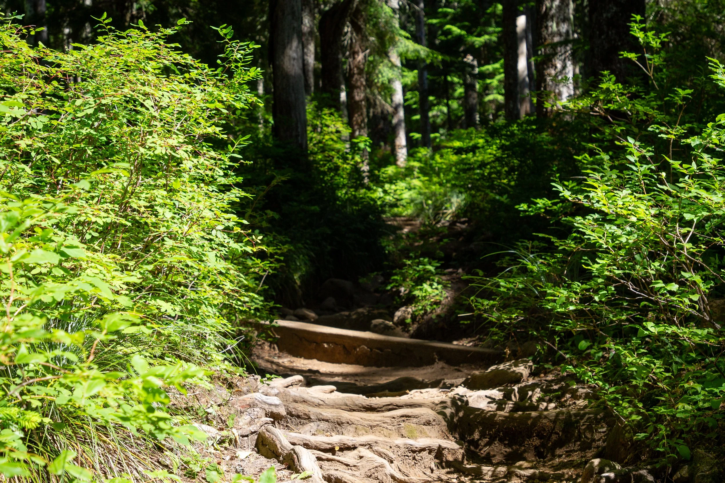
Top Spur Trail
In 0.5 miles, you’ll reach a junction with the PCT. Take a right.
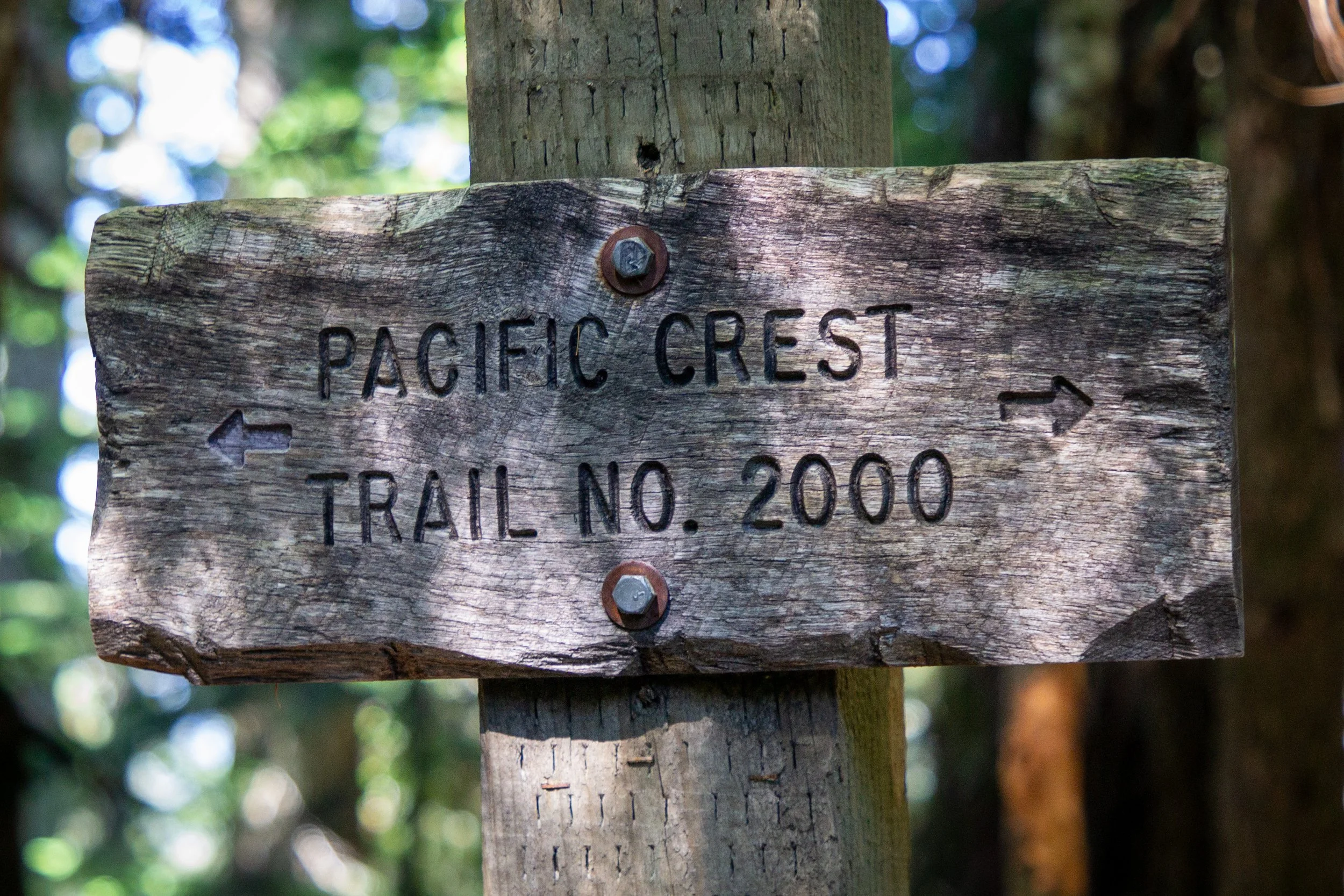
Take a right
Just ahead is another trail junction with a large map. It begins the loop on the Timberline Trail. Take a right. You’ll be able to see Mount Hood better by doing the loop counterclockwise.
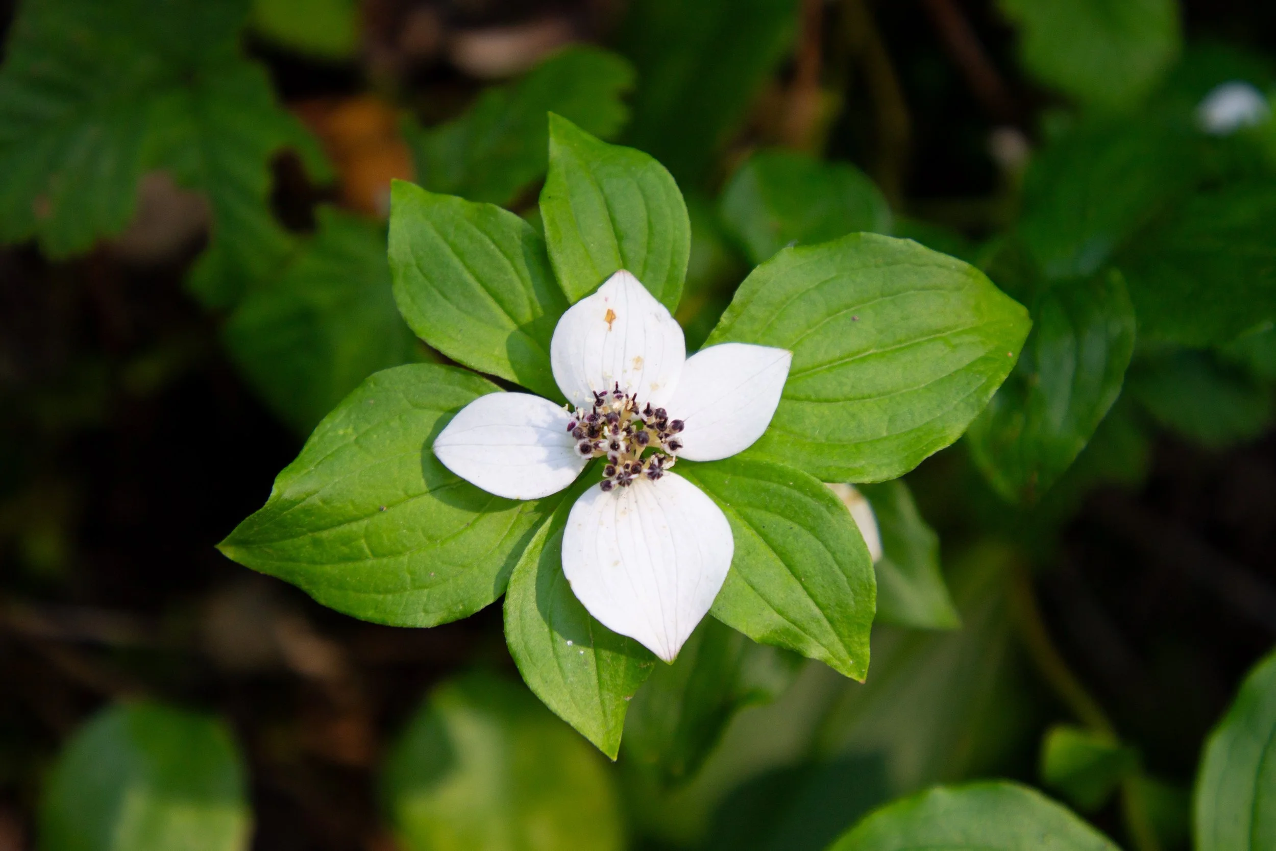
Bunchberry blooms in July
About 0.1 miles after starting the loop, you’ll pass the unlabeled spur trail to the summit of Bald Mountain. I’d call it a harder and slightly less rewarding version of the loop hike. The view at the top is very cool, but not better than those from the loop. We’ll keep right to stay on the Timberline Trail.
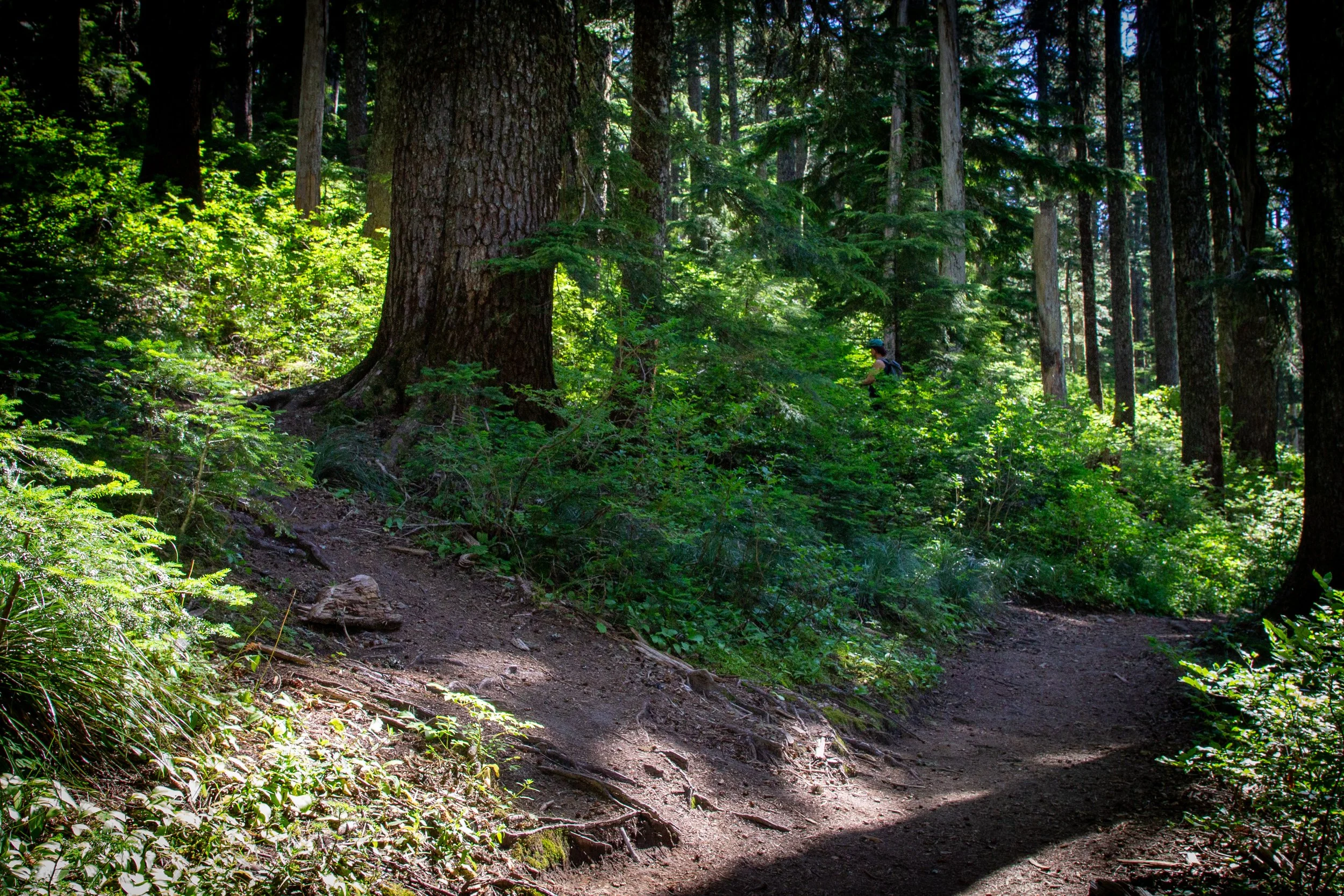
Fork for the summit trail
The trail continues through the forest for a short distance. Then, you’ll leave the tree cover and round a corner, where Mount Hood awaits, all gorgeous and gigantic.
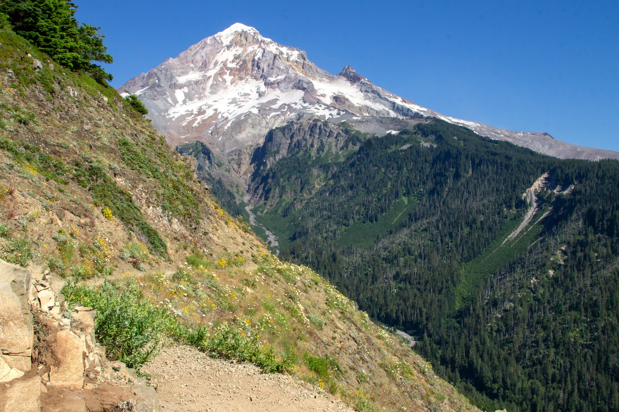
Timberline Trail
Wildflowers blanket the open southern face of Bald Mountain in summer. Expect blooms from around the beginning of June until early August. On my mid-July hike: yarrow, Oregon sunshine, and paintbrush.
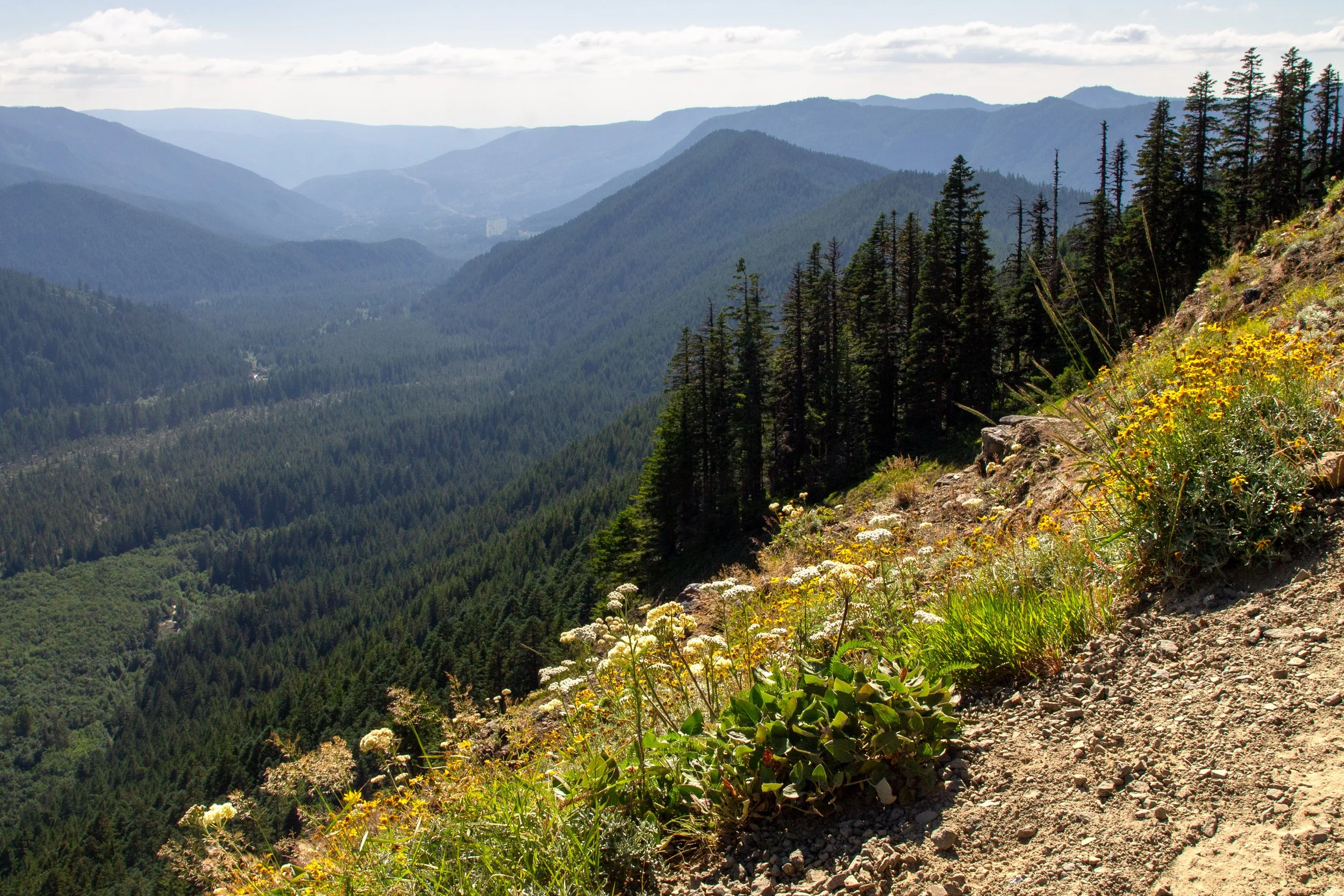
Muddy Fork Valley
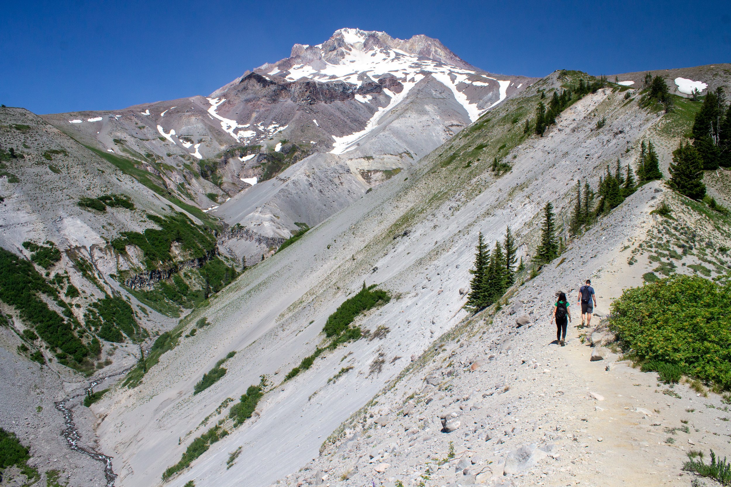
The highlight of the hike is a widened area of the trail with a straight-on view of Mount Hood. A couple of large rocks make the perfect seats for a snack break if you’re lucky enough to find them free. In the valley below, the Muddy Fork of the Sandy River flows past conifer-covered hills. Mount Hood looks so close that it’s almost sitting on top of you.
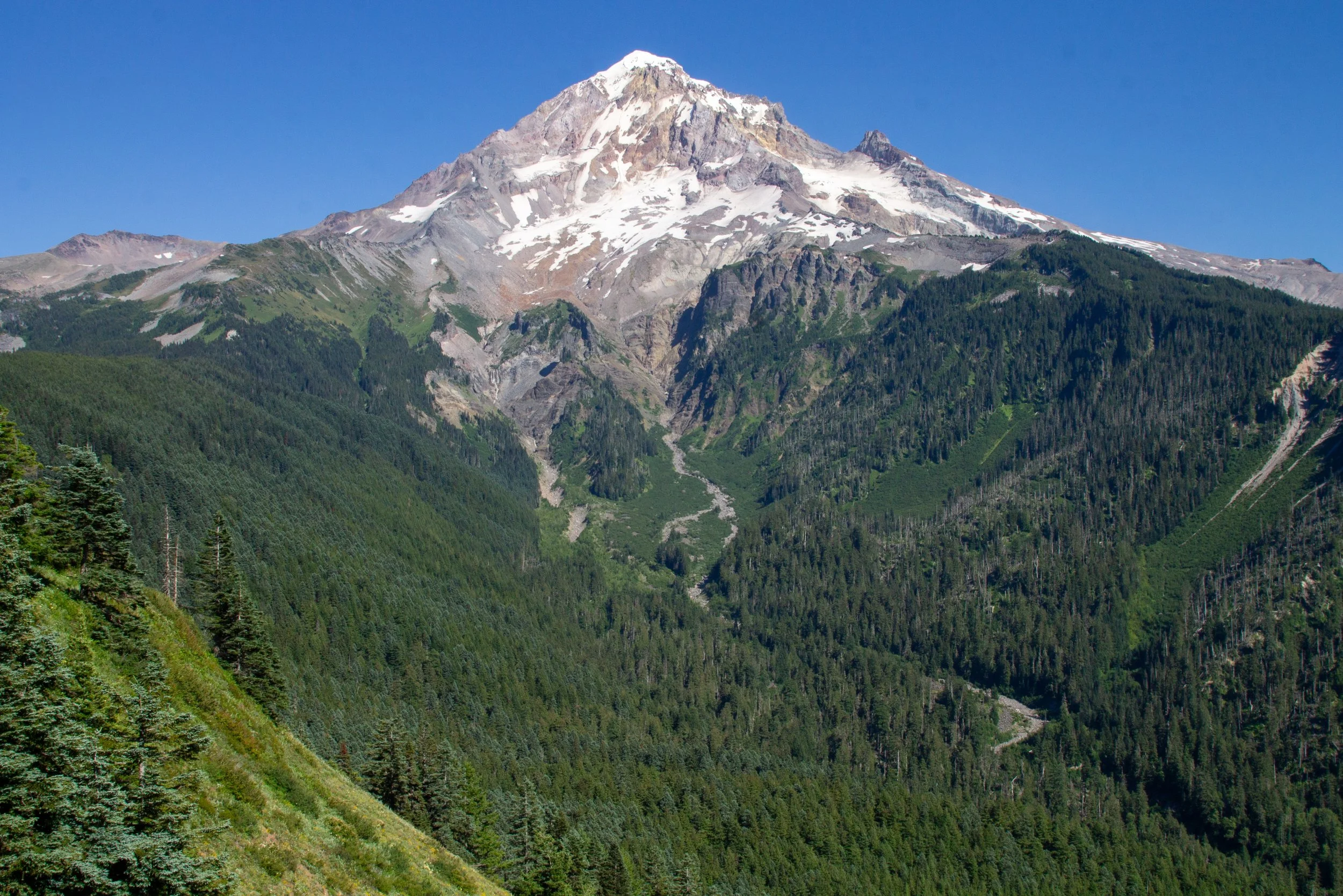
Mount Hood
The Timberline Trail continues around the southern face of Bald Mountain. Mount Hood will be in sight for the next quarter-mile or so.
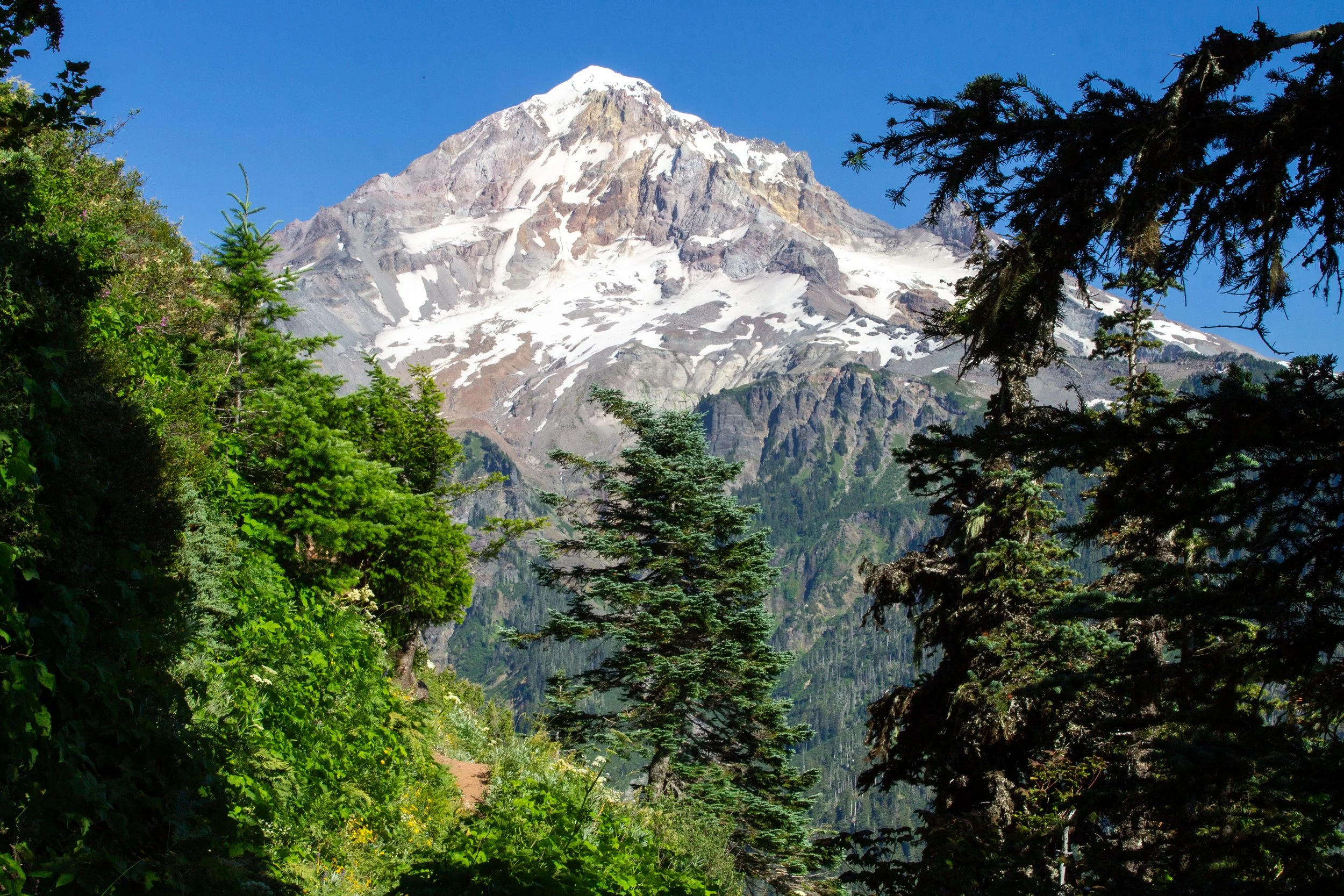
Mount Hood from the Timberline Trail
The next trail junction is potentially confusing, since both directions lead to different sections of the Timberline Trail. Take a left onto the cut-off trail to finish the loop. The trail to the right leads to Muddy Fork (see longer hikes below).
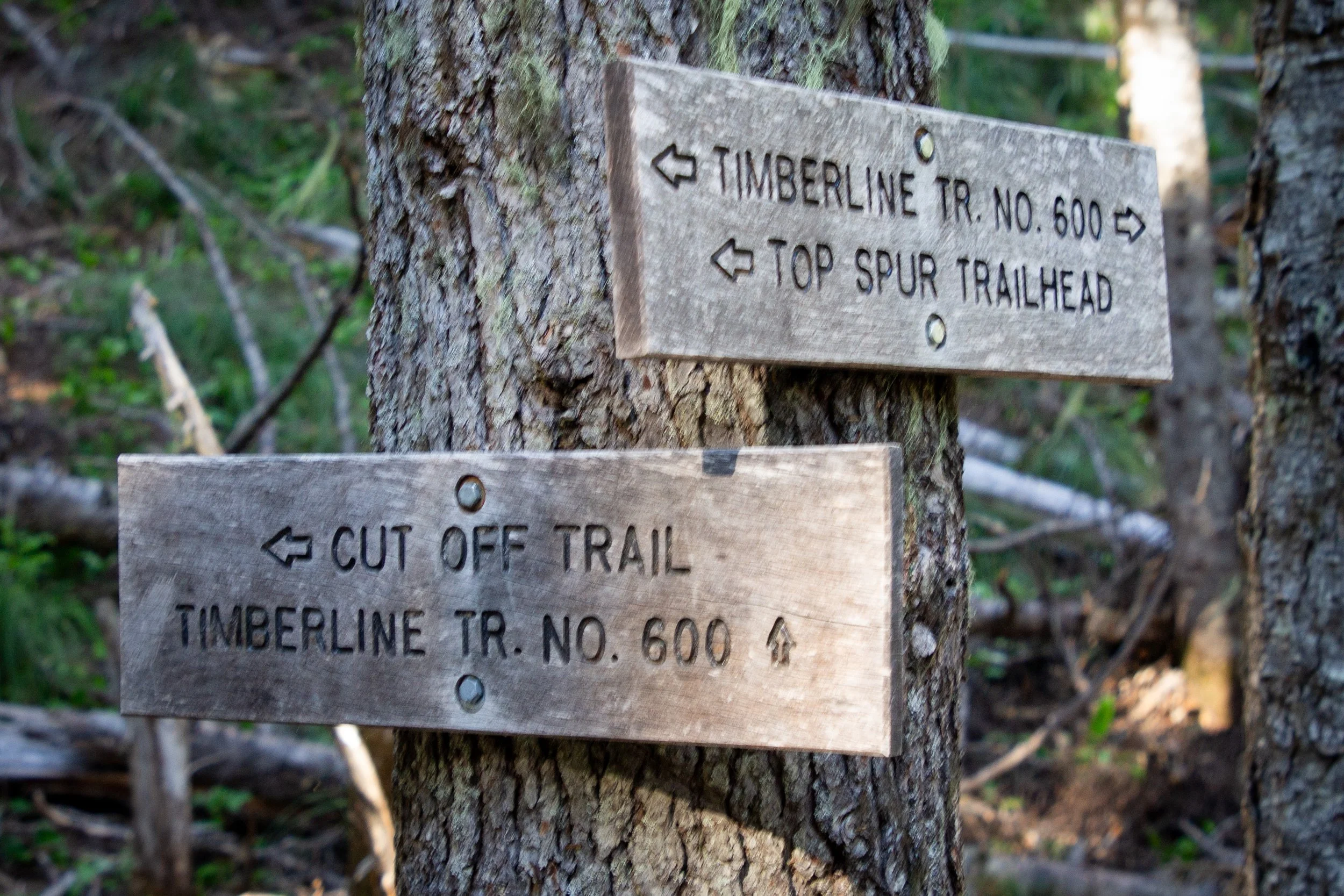
Take a left to finish the loop
Just ahead is another junction. This one is clearer. Take a left, following the sign toward the Top Spur Trailhead. The trail to the right continues toward McNeil Point (see longer hikes below).
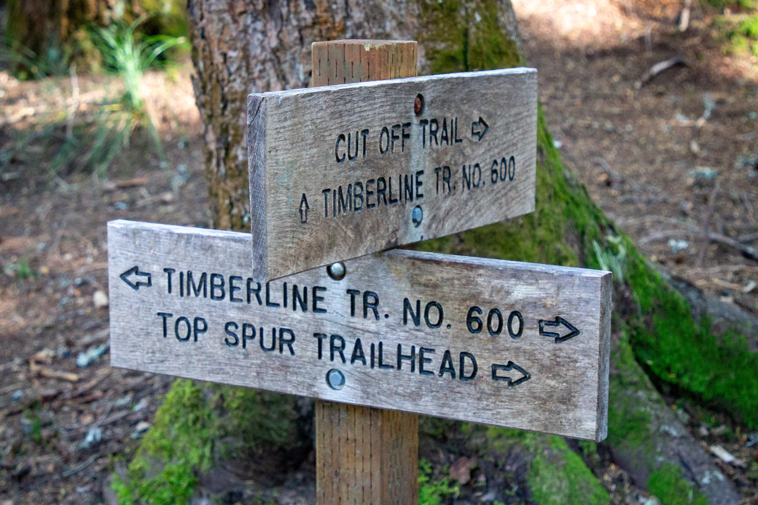
Follow arrow to Top Spur Trailhead
The loop ends around the forested north face of Bald Mountain.
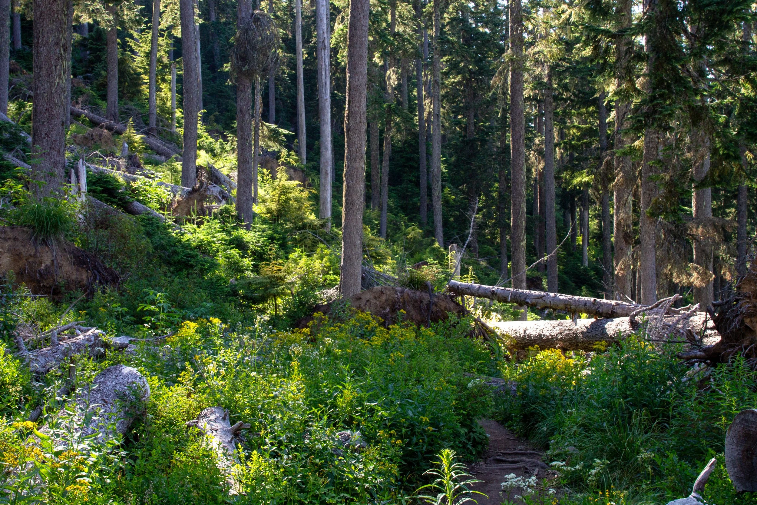
Timberline Trail
In 0.4 miles, you’ll be back at the junction with the PCT. Take a right onto the PCT, then a left onto the Top Spur Trail to return to the parking lot.
Longer hike options
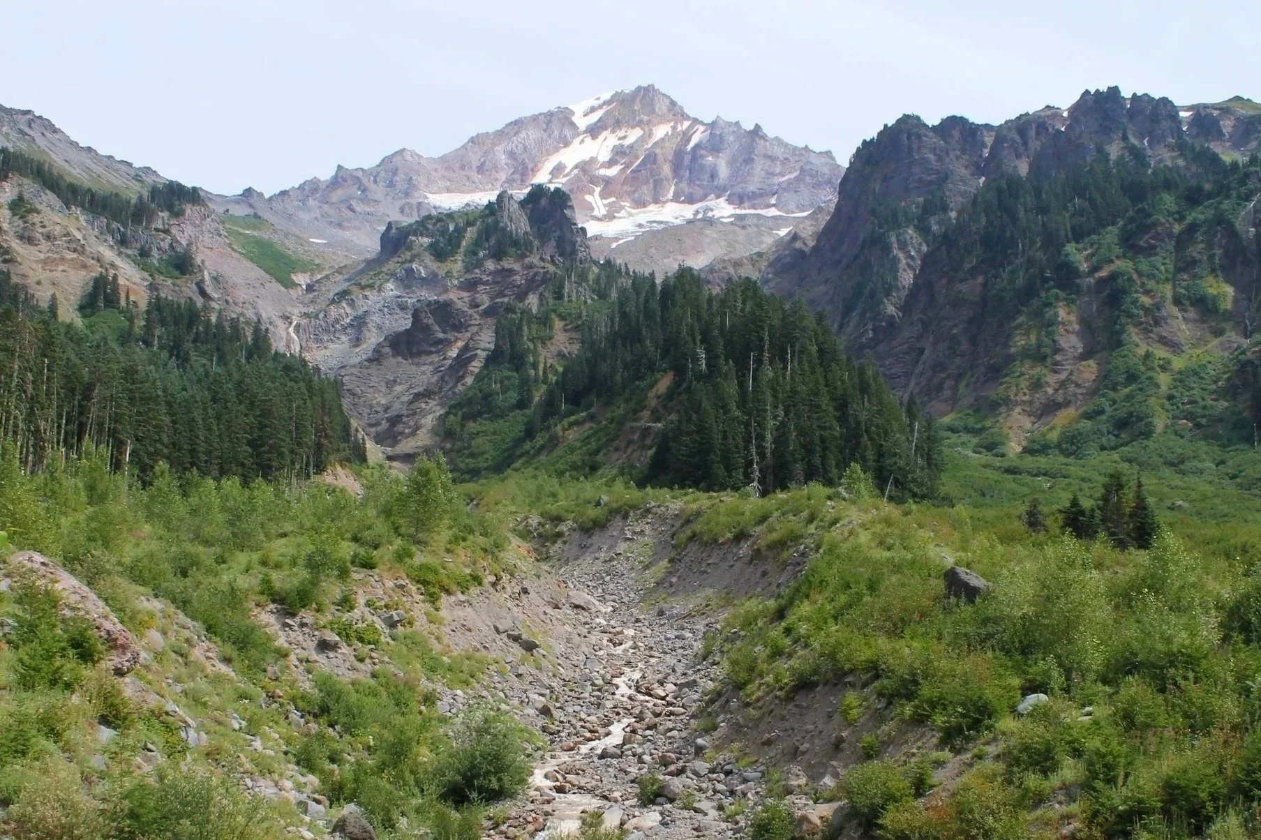
Muddy Fork
You can add a short detour to Bald Mountain’s summit on the Timberline Trail. It’ll make the hike about 3 miles total. Look for the spur trail to the summit about 0.1 miles after starting the Timberline Trail. The spur is steep and has many downed trees. It ends at a great view of Mt Hood, with a Mount Adams sighting on the way.
Top Spur to Muddy Fork is a 5.5-mile hike that leads to a fantastic view of Mount Hood from the Muddy Fork of the Sandy River. On the far side of the loop, take the southern leg of the Timberline Trail. You’ll be in the woods until the end, when the scenery changes from pretty to mind-blowing.
Lolo Pass to Bald Mountain is a 7-mile hike that starts on the PCT and ends with the loop around Bald Mountain. It’s a longer and harder version of the Top Spur hike. You can make it to the Lolo Pass Trailhead in a low-clearance vehicle.
The famous 10-mile hike to McNeil Point starts with the Bald Mountain hike and continues to a stone shelter high on the slopes of Mount Hood.
Getting there
To reach the Top Spur Trailhead from Portland, take US-26 E to the town of Zigzag. Turn left onto E Lolo Pass Rd and continue for 4.2 miles. Then, turn right onto Muddy Fork Rd. Continue for 0.7 miles, then keep left to continue straight on 1828. This hot mess of a road will bring you to the Top Spur Trailhead in 7 miles. The parking lot will probably be full when you arrive. There’s some awkward shoulder parking on either side of the lot. The drive from Portland takes about 90 minutes.
Explore nearby

Check out the rewarding hike to Ramona Falls.

Find more incredible Mount Hood views on the Burnt Lake Trail.
Check out the best short hikes near Mount Hood.